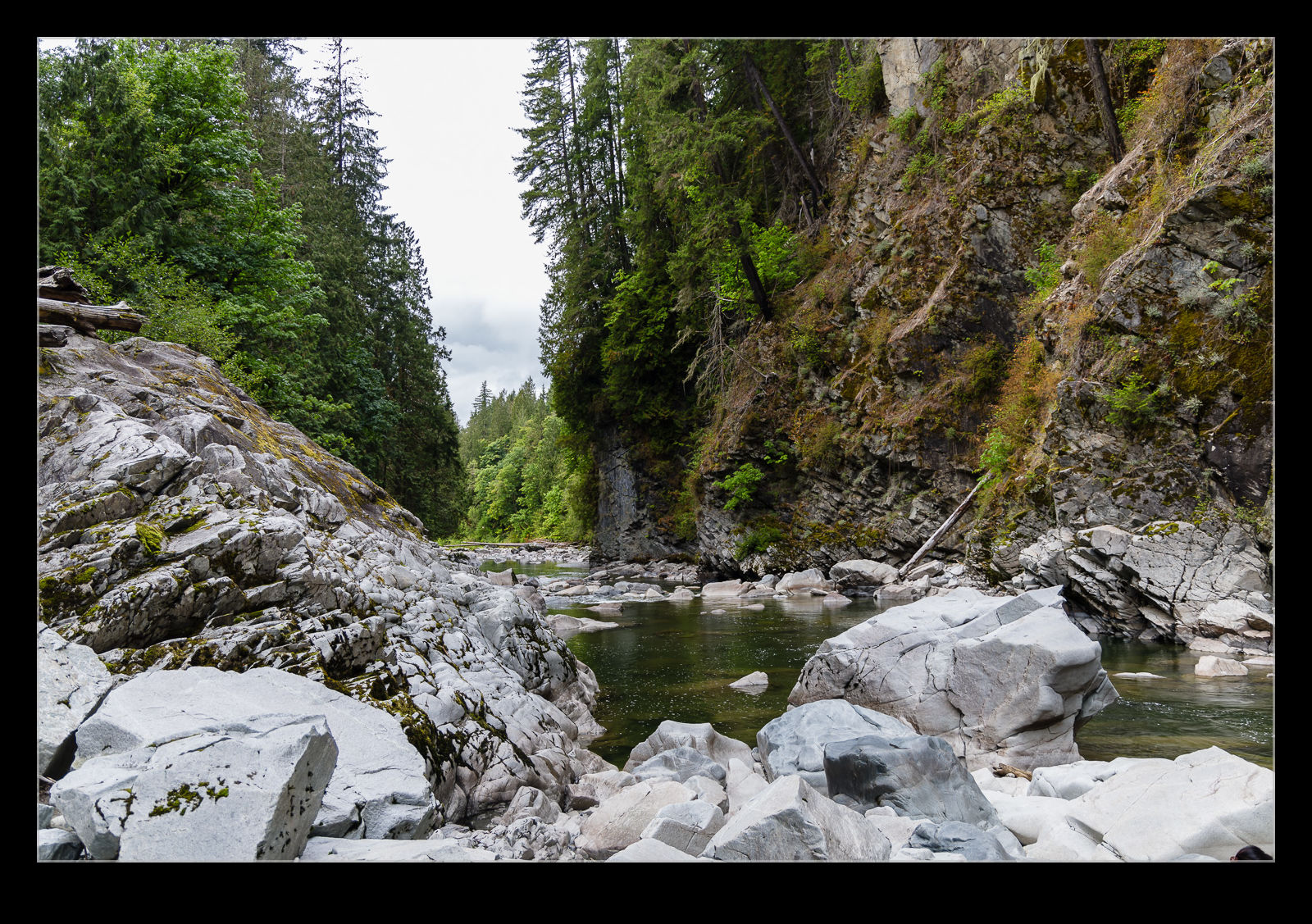
 I’m not sure what it was that led to this but I happened to see Granite Falls on Google Maps one day. It is a small town about 45 minutes north of us which I will have seen the sign to on many occasions as I go up Route 9 but which I had never thought of previously. Needless to say, there are waterfalls in Granite Falls. I looked at some of the pictures on Google Maps and decided to check it out some time. We headed up one weekend to have a look.
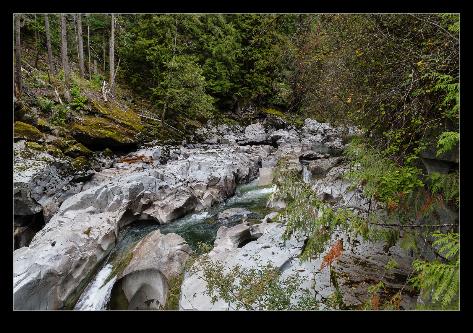
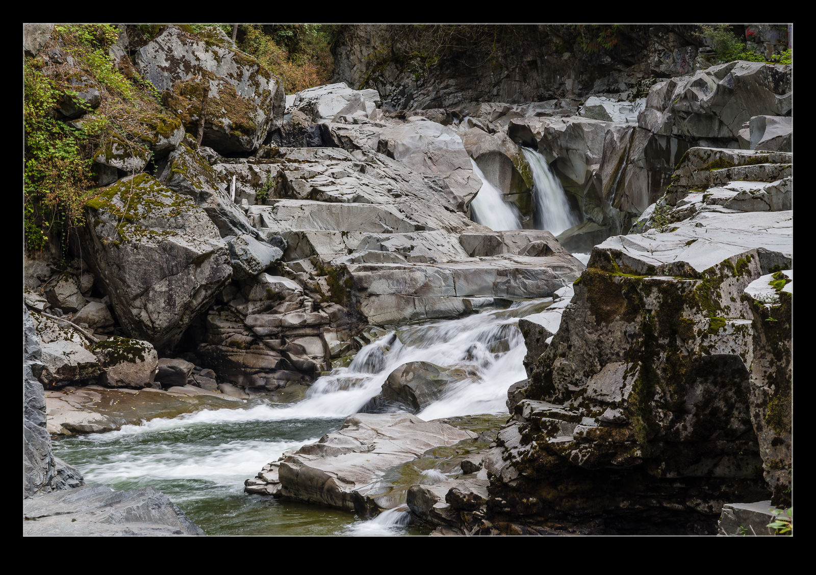 Since it was just the beginning of Fall, there hadn’t been much rain recently. Consequently, the falls were not flowing very heavily. However, looking at the shaping of the rocks around the water, it was clear that the level can be much higher and the force of the water, substantial. The falls were in stages and, while there is a fish ladder alongside, some salmon were actually trying to leap up sections of the falls. They were infrequent so I never managed to catch one airborne with the camera.
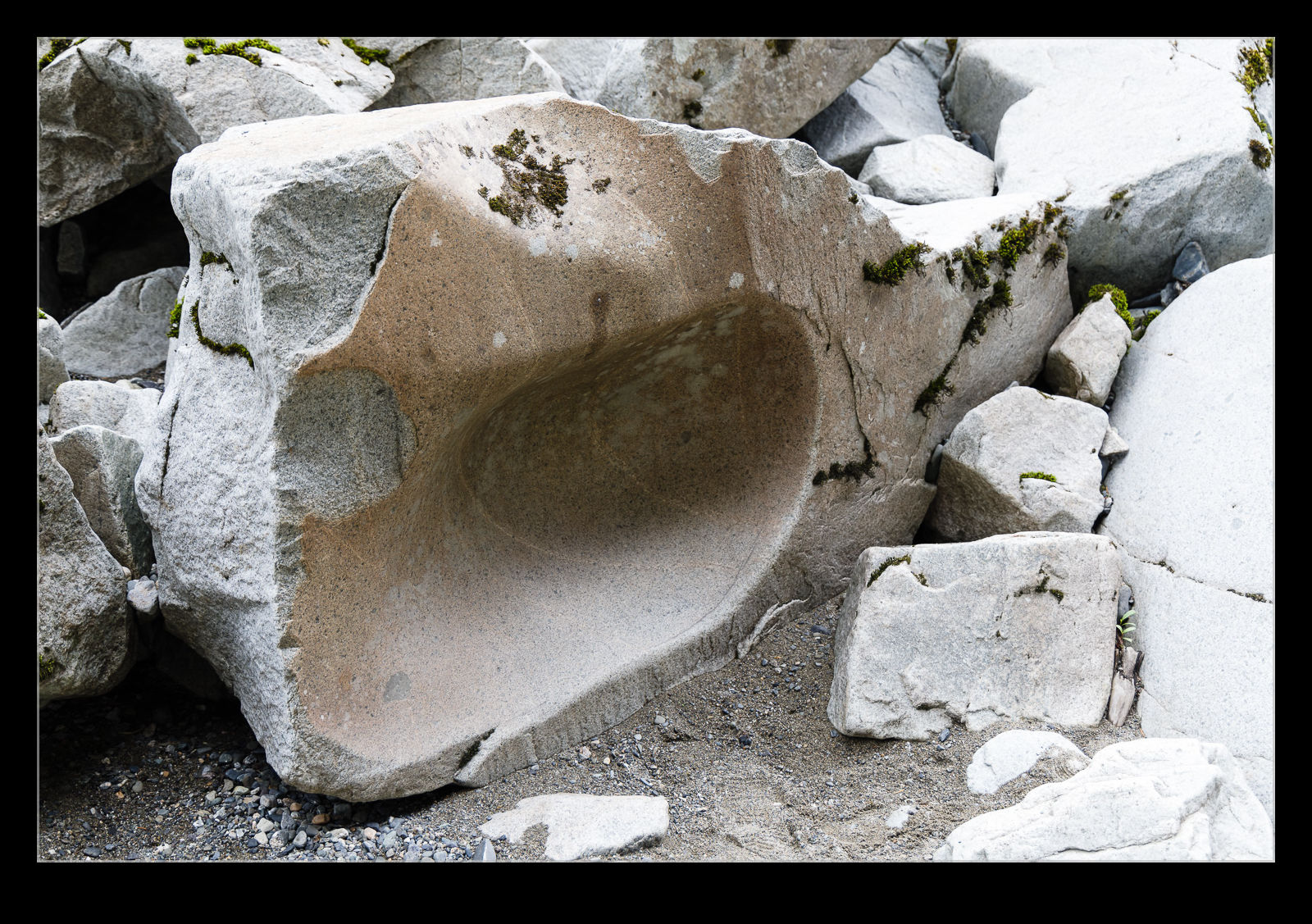 We walked along the trails that runs the length of the falls. The cliffs on the other side are very steep and you are deep in a valley. It was difficult to really capture the scale of the place. However, I did resolve to wait for the weather to get worse and to have more run off from the mountains before making a return trip to see the falls in a more aggressive mood.

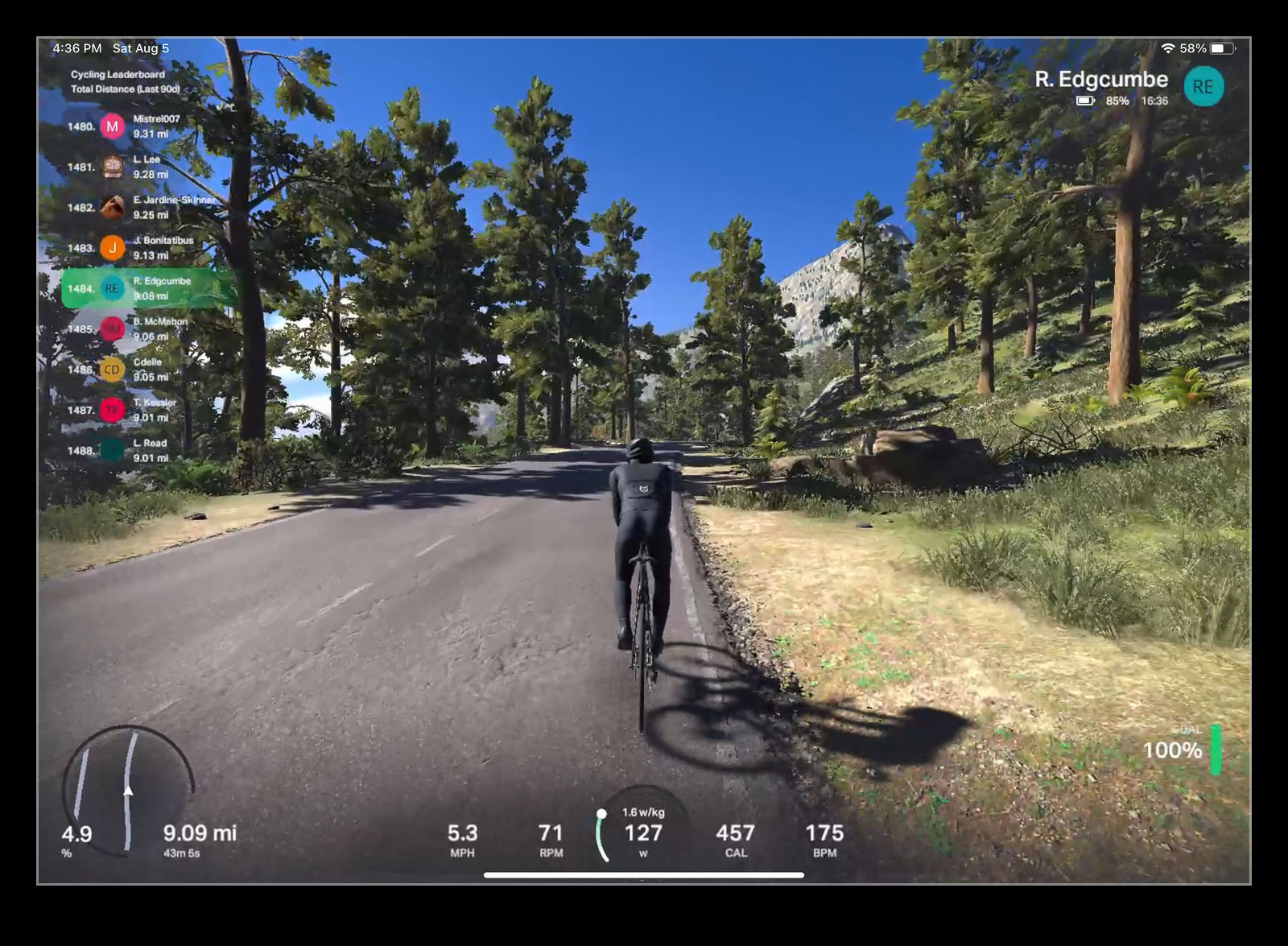
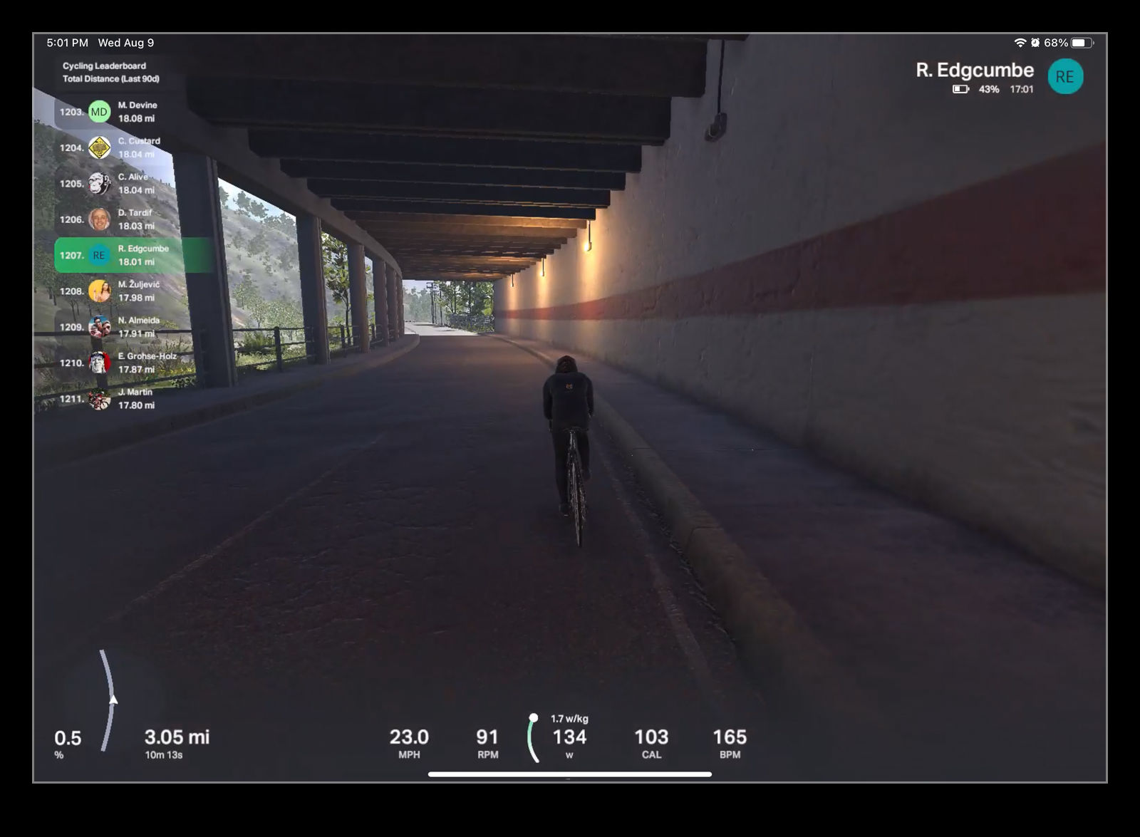
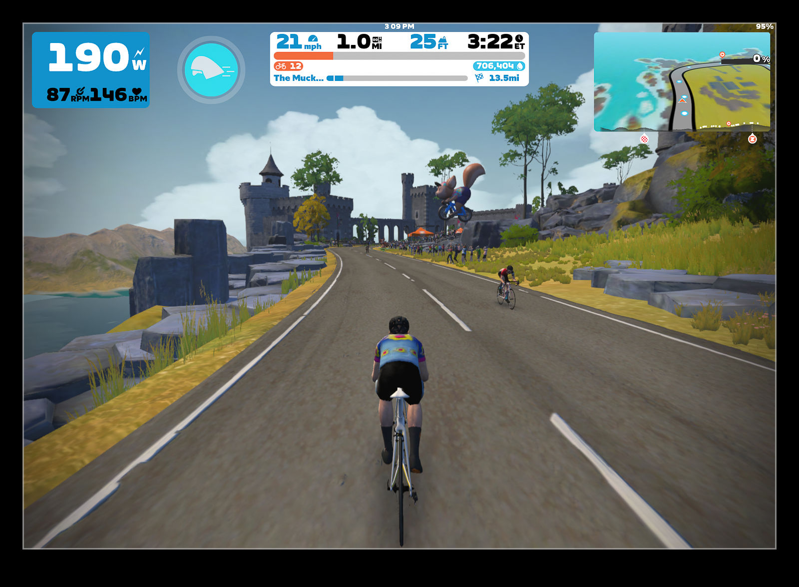
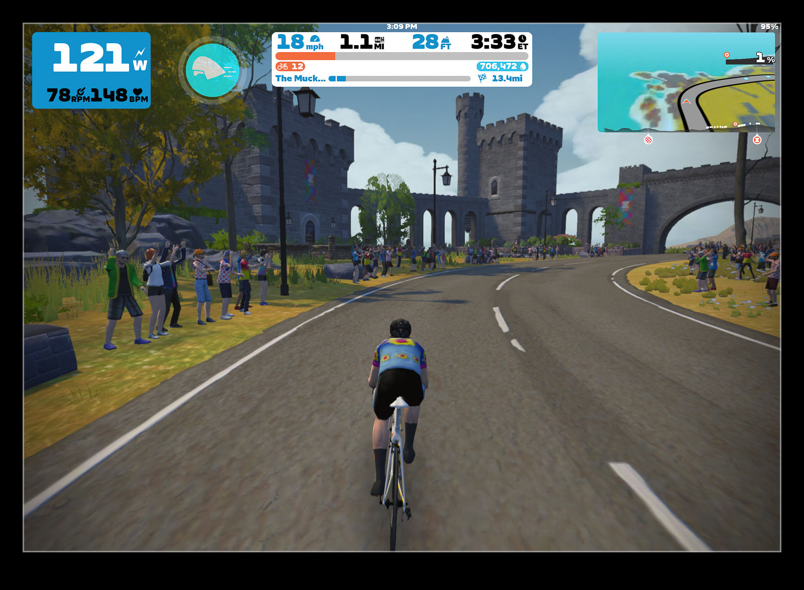 One of the things I did like the look of was the graphics output. Zwift has a slightly cartoonish styling which doesn’t bother me at all – indeed, I quite like the odd things that they throw in like a bear falling out of a tree or a stag by the road – but having more realistic scenery was of interest. Rolla looked like it would be more like riding in real locations. As a new app, I knew it wouldn’t have extensive scenery databases yet, but they could be useful to try out.