 If you saw the previous post about the locks on the canal in Chester, you will know I was in the dark along the water. While it was very dark down there, this was a pretty busy place with people out walking their dogs or pushing their pushchairs and purchases along after some shopping in the city. I decided to walk along the canal back in the direction of the centre of town. For quite a stretch of this part of the canal, there was no lighting. A sign warned about this as you entered the darkest spot.
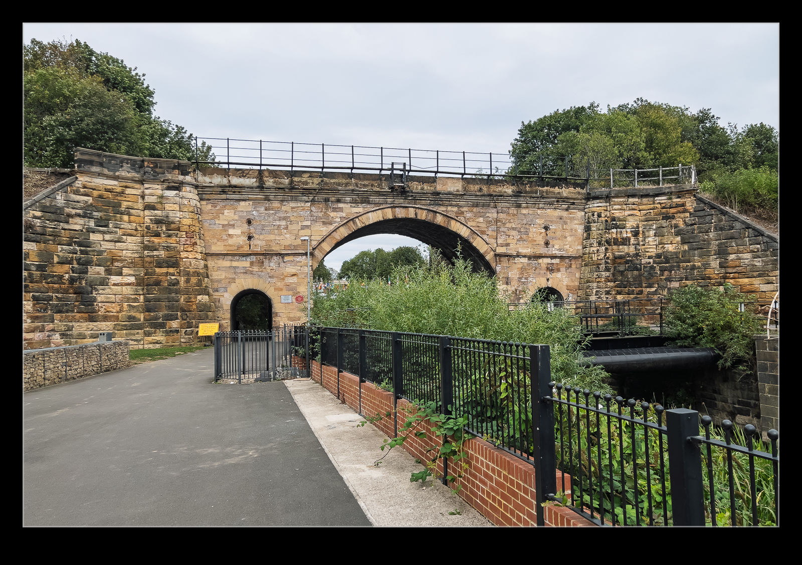
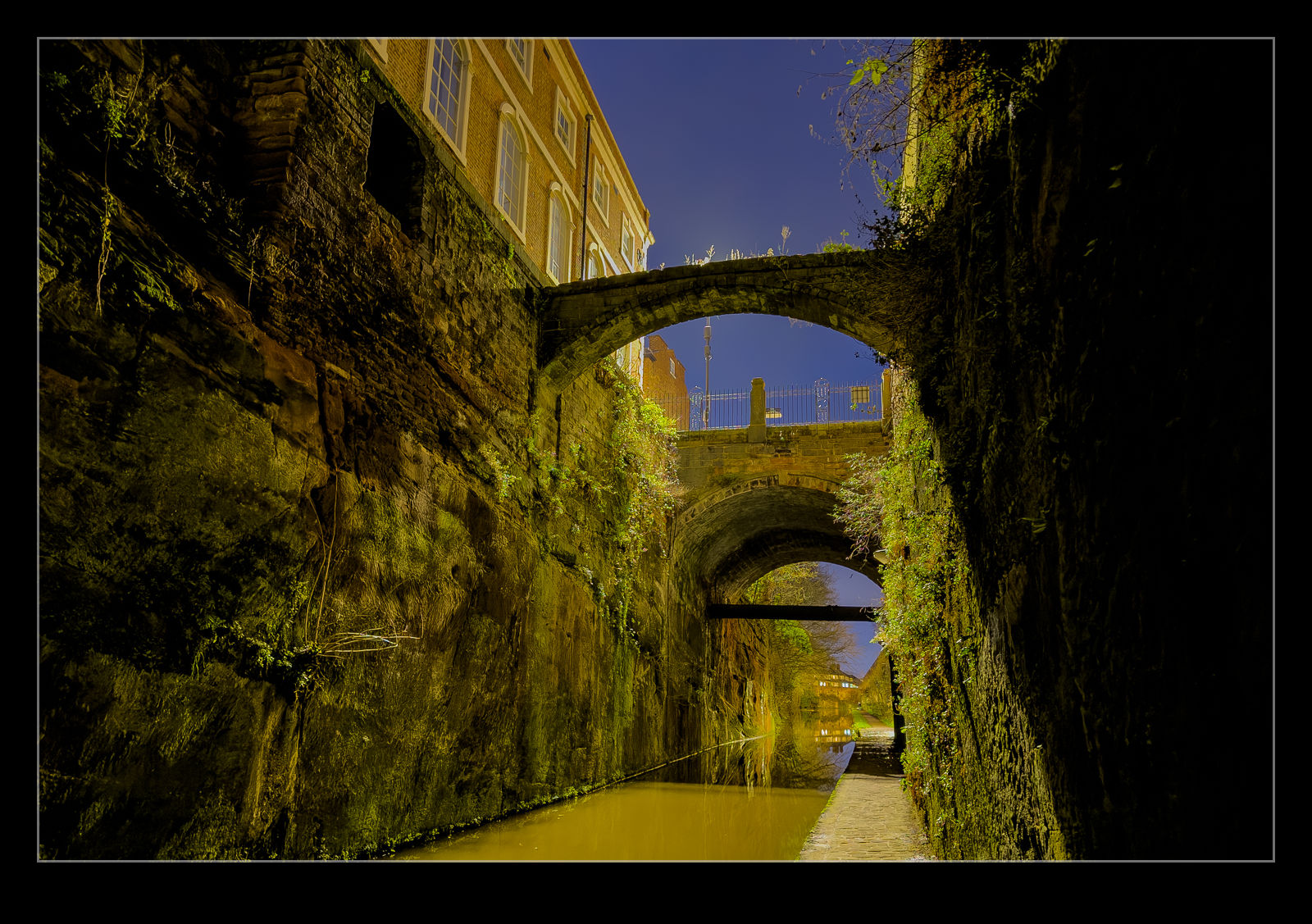
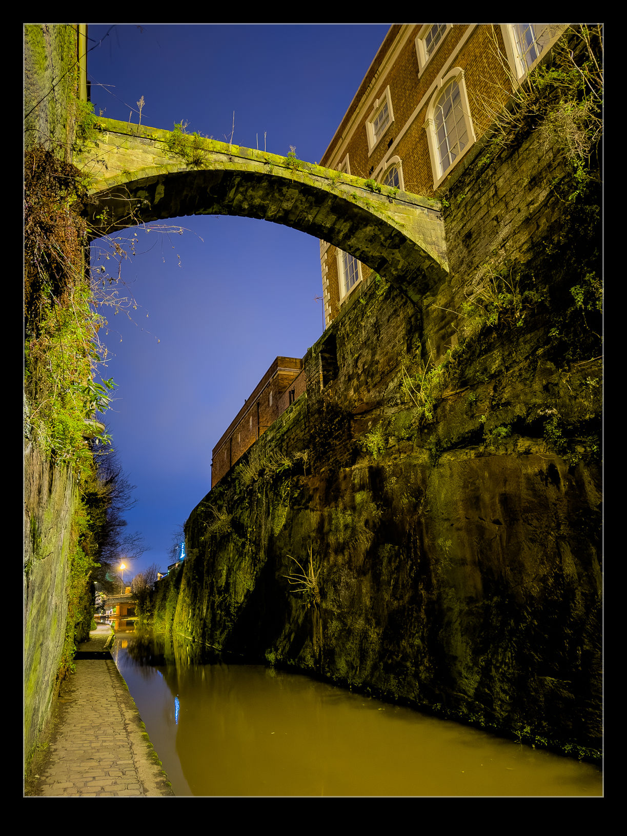 There was some ambient light coming down from the streets above. However, the canal course was cut into the rock so the light from above was quite a way off and things were really dark down along the path. What was slightly more concerning was that the water level was almost the same as the bank and, in the low light, it was hard to see where one ended and the other started. I was pretty cautious as I walked along.
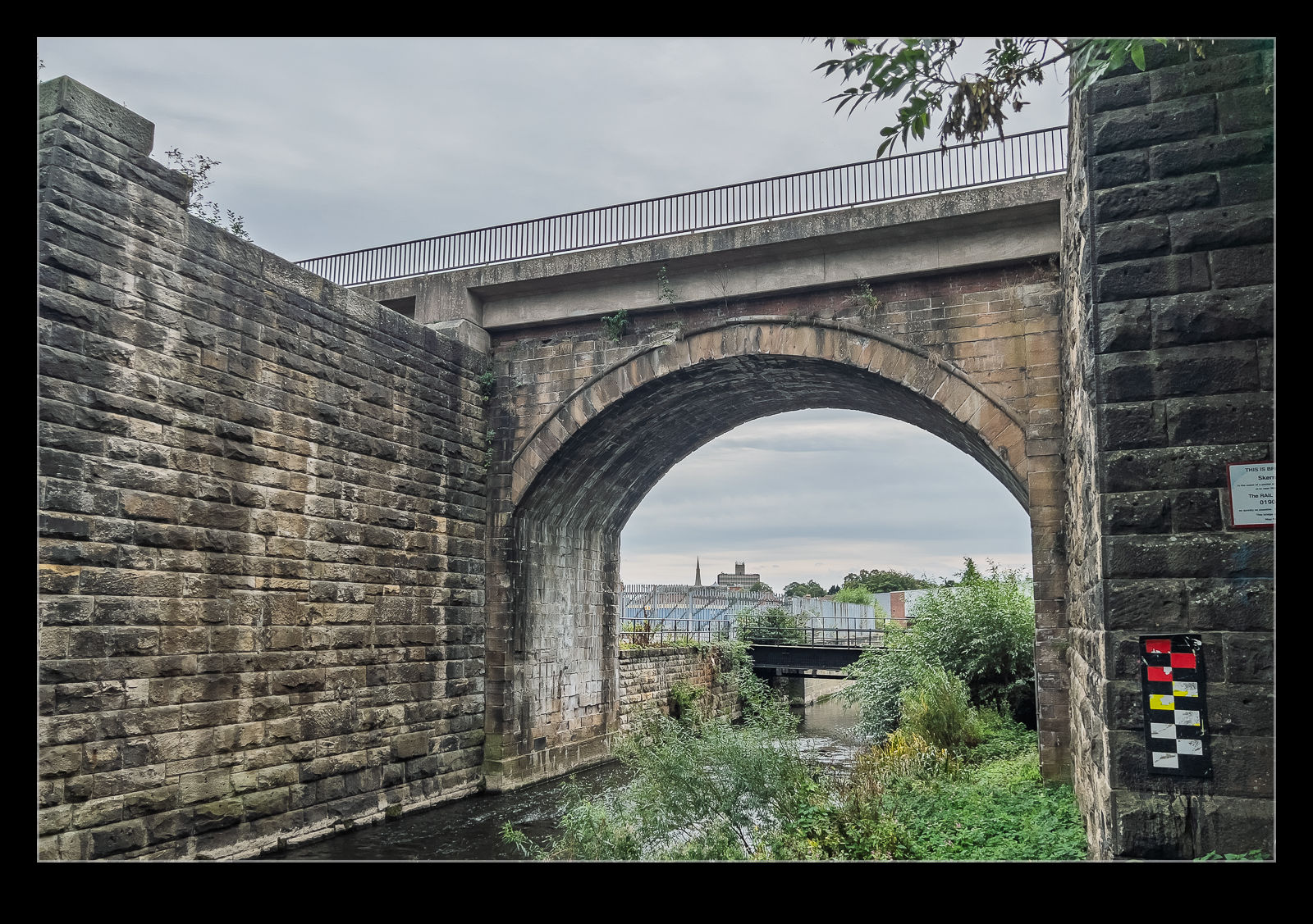
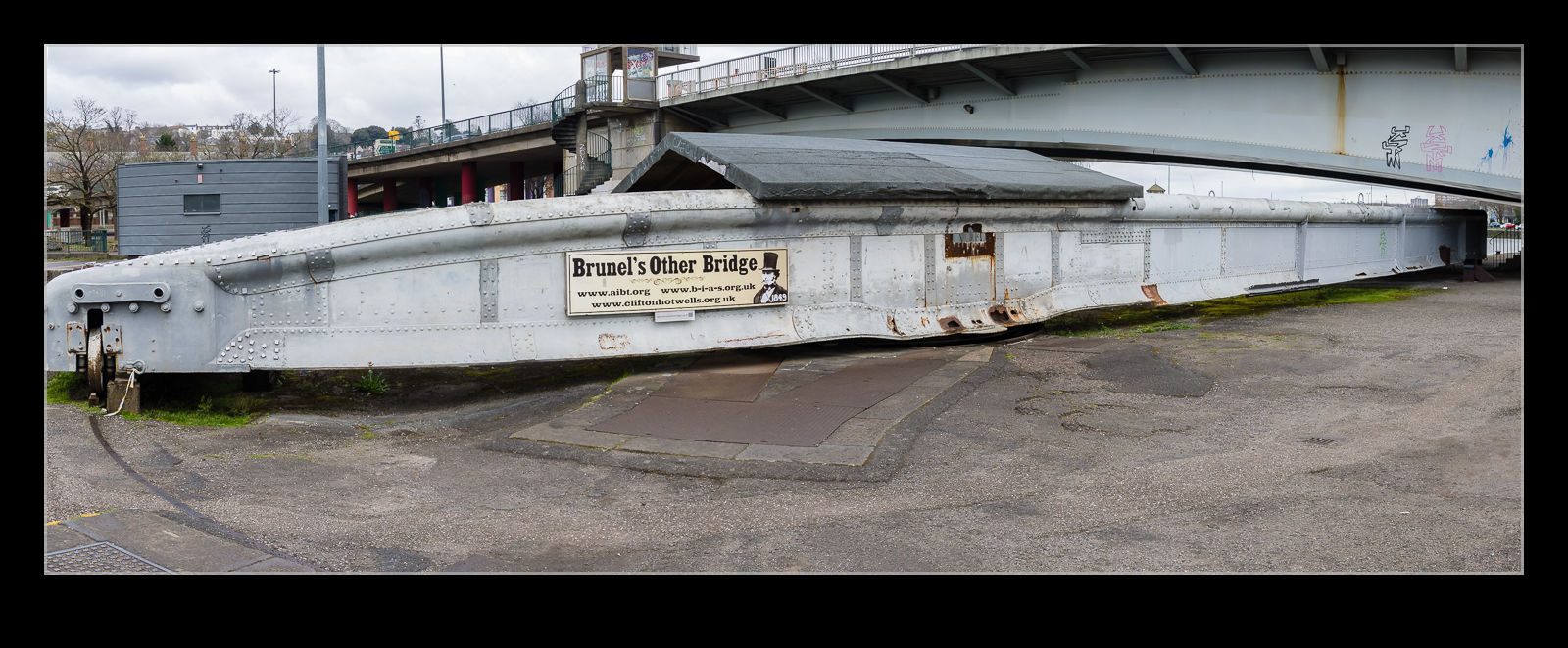
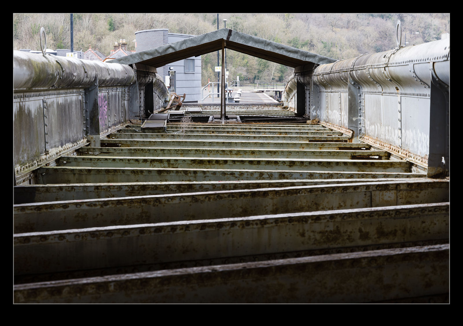
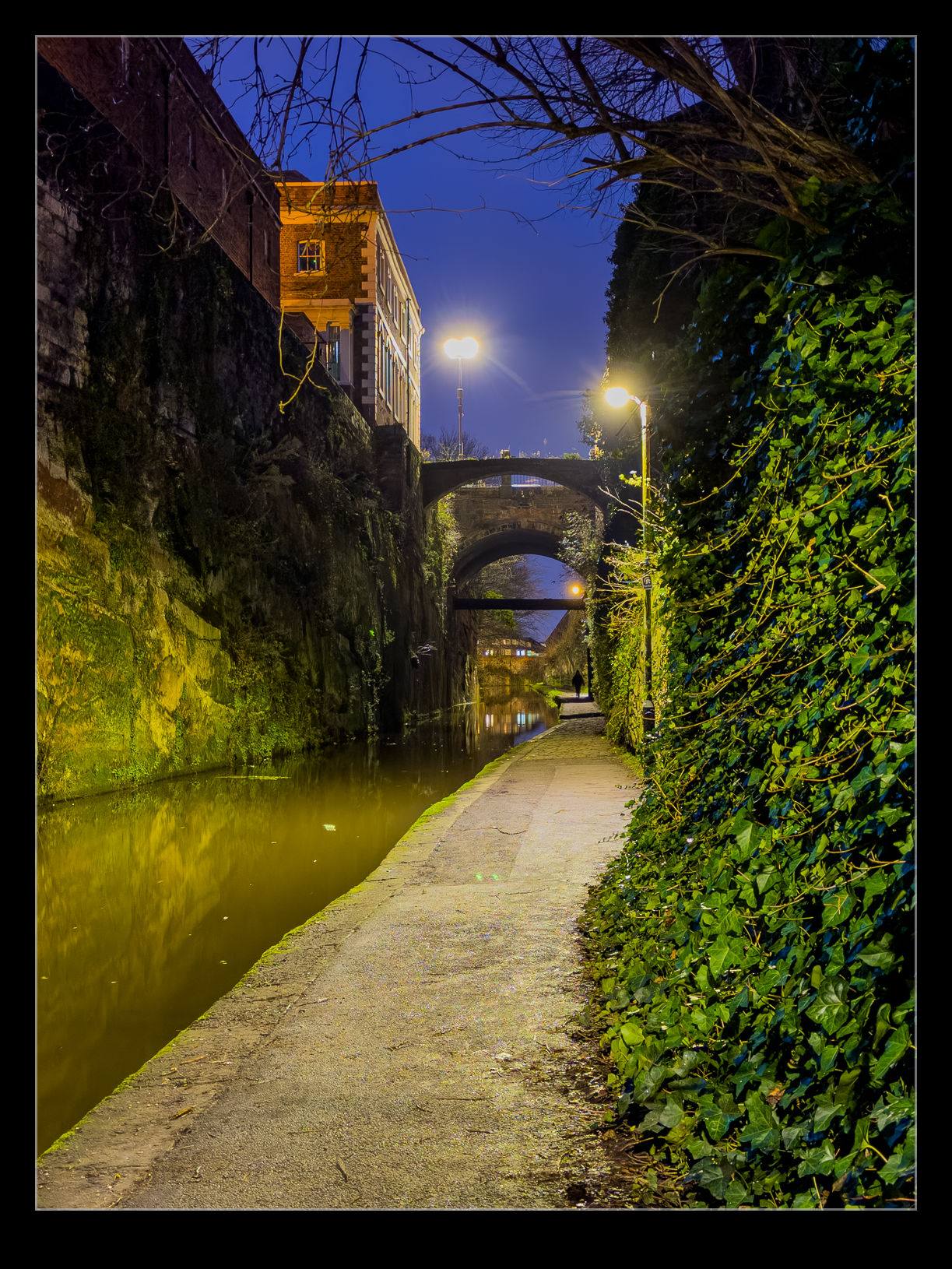 As before at the locks, the camera was able to pick up way more detail than my eyes were seeing. There was an old bridge across the canal. According to a sign I saw further up the path, this was to connect the old prison with the chapel on the opposite side. It has since been joined by a larger bridge that carries traffic and this bridge now seems to be out of use. I was soon back out into the (relatively) lighter area and back towards the middle of Chester. As with the locks, this is somewhere I wouldn’t mind exploring in the day so I can see what it actually looks like!
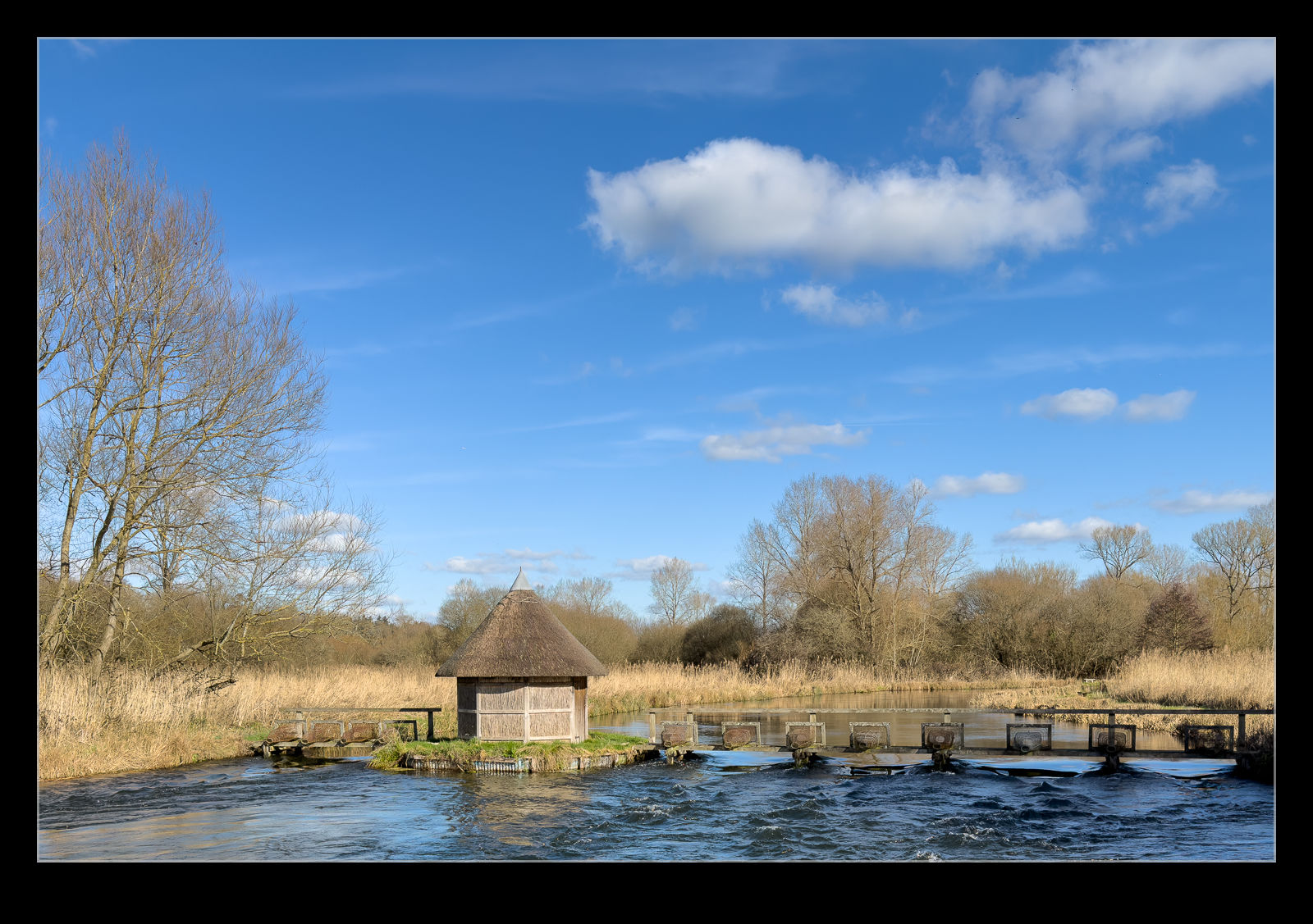
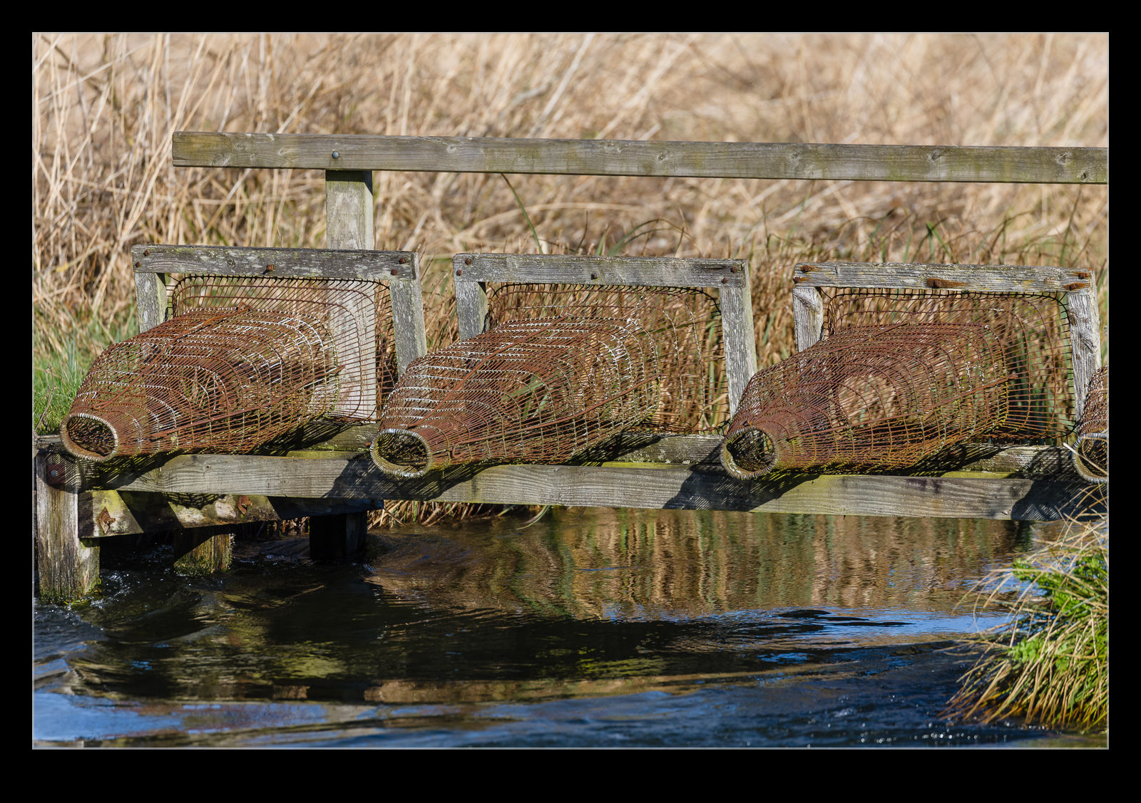
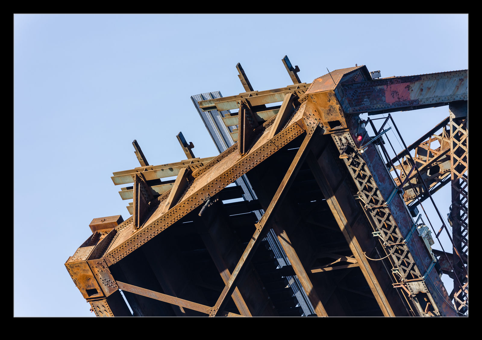
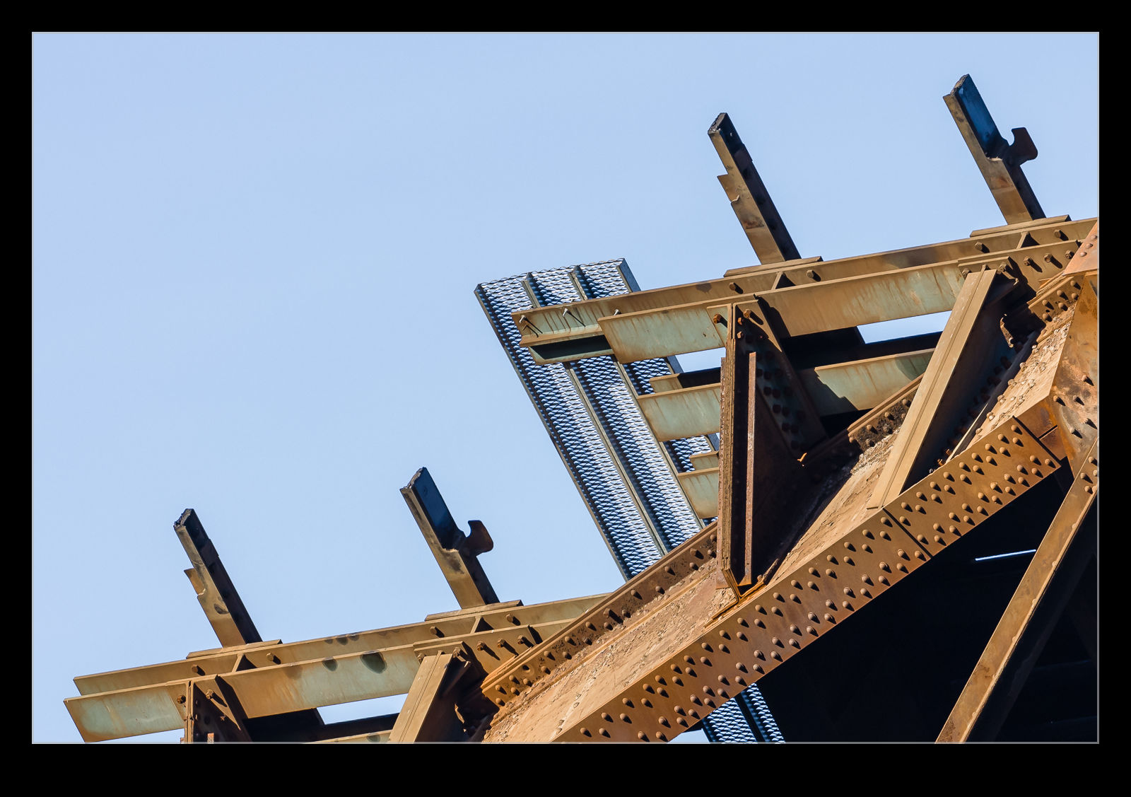
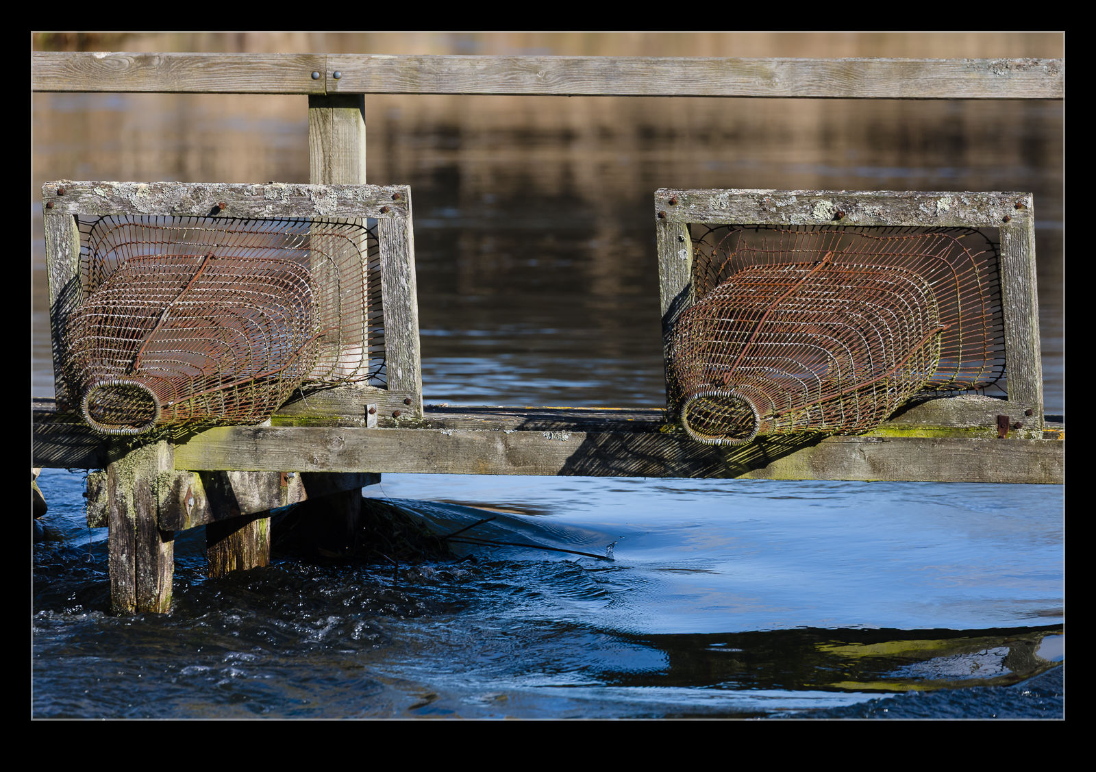 I have shared a photograph of this location on the blog previously. It is a lovely spot on the River Test near Longstock. There are these mesh funnels on the bridge across the river. They are above the water level so I was wondering what they could be for. It isn’t obvious to me that they can be lowered into the water and, if the water was high enough to flow through them, things would be incredibly flooded so I am not sure what purpose they would serve then. The ends aren’t closed off but presumably could be. If anyone has any idea what they could be for, please let me know. Always interested to learn more.