Tag Archives: highway

SR99 Bridge Over SR509

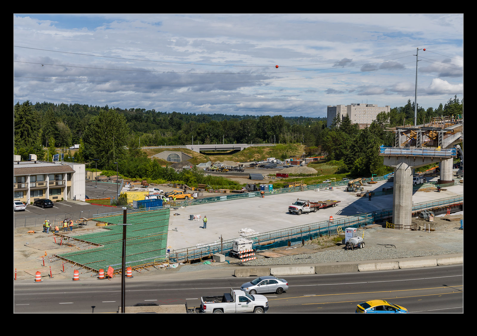
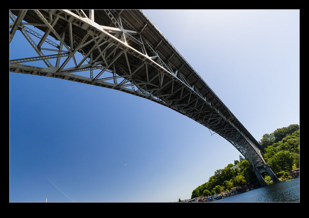
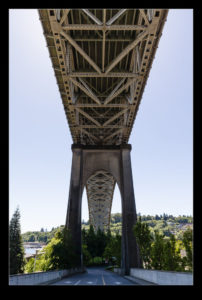
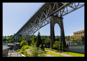
WSDOT is in the process of building a new part of SR509 that will connect I-5 to the rest of SR509 on the west side of the airport.  The alignment that the new road is taking cross SR99 at the same place that we are currently building the light rail extension.  To avoid making life too complex, WSDOT funded Sound Transit to build the bridge for SR99 that is needs as part of the light rail construction program.  The contractor diverted SR99 around the work site and then excavated the area where SR509 will go.  A new bridge was built over this and then it was all filled in underneath.  The road then was laid on top of the new bridge.

Since these pictures were taken, the road has been re-opened.  However, at this tie, they were finishing the pours of concrete for the new bridge and too tie it in to the existing roadway.  This view is now gone so it was a narrow window to see the bridge.  I was lucky to see it at various stages of its construction.  In due course, WSDOT’s contractor will come in and remove the earth under the bridge and build the SR509 roadway.  That will happen pretty soon.

Interchange Construction

Continuing my theme of aerial photos from my flight to DC, as we got in to the metro area, I could see a major interchange under construction on one of the highways.  I’m sure, if I could be bothered, it would be possible to work out which highway this is and where the interchange is being built but I’m not that interested.  If you happen to recognize it, I would be fine knowing since that would require no effort on my part!  The evening light angle meant the shape of the construction was picked out with more clarity.  I wonder when it is due to be completed?

Gorge Creek

The North Cascades Highway crosses a bridge at Gorge Creek.  We had stopped to go to a lookout point on the lake side of the highway and the trail to this point ran alongside the creek.  As we headed back, I wanted to take a quick look from the bridge.  I walked out a short distance and could see the creek below.  I almost turned back at this point but, fortunately, I kept walking a bit further and suddenly a waterfall came into view.  I could easily have missed it.  Indeed, Nancy almost didn’t come out when I told her to come and have a look as she similarly thought she had seen all there was.

The falls were slightly tricky to photograph.  The top section of the falls was the first to be seen as you walked out on to the bridge.  The bottom section was obscured.  As you walked out further, the bottom came in to view but the top started to become obscured.  Getting the full scale of the falls in one shot is not really possible.  While you are there, you appreciate it of course but it is not so easy to portray to someone remotely.  With the shadow of the gorge as well, getting a shot meant dealing with a wide dynamic range.  This would have been a good time to try a pano in HDR.  The latest version of Lightroom has that functionality automated but it hadn’t come out when I was there and, to be honest, I couldn’t be bothered trying it!

Hwy 99 Crosses the Water

To get from Seattle to Fremont, you have to cross the water.  Highway 99 runs across a high bridge to get from one side to the other.  Being underneath the bridge you have a very different perspective on things.  It is an old bridge structure with concrete piers supporting the roadway.  From underneath, the symmetry of the structure is quite appealing.  What is apparent when you are there but is not so clear in a picture is the steepness of the hill as it drops away down to the water.  The gradient is pretty dramatic.  The bridge does climb a bit but the ground falls away far faster.

More Pretty Coastline Than You Know What to Do With

Our trip down the coast included some driving down the Pacific Coast Highway. This is undoubtedly a gorgeous place to be. Each turn in the coast brings with it another lovely view of rugged cliffs and crashing waves. Add some sun and it really is wonderful. There is little point in saying much more. Instead, here are a few shots to show just how great it is.

My Timing on the Bridge Was Off

AE7I4326-HDR.jpgWhile reading some of the material at the Donner Memorial, I saw some pictures of a cool looking bridge.  A similar style to the Bixby Creek Bridge, this one was above Donner Lake.  It is on the old highway which is now bypassed by the interstate.  We were heading off in a different direction but we were coming back to Truckee on another day for dinner so I decided to check this place out prior to that.  Since it would be early evening, the light should be in a good place too.

AE7I4336.jpgIt turns out I timed it just a fraction wrong.  The sun was low across the lake which did look very nice.  Unfortunately, the bridge was in the shadow of the surrounding hills so it was rather subdued compared the rest of the view.  A little earlier and it would have looked great.  Oh well, too late to change that.  Maybe if I am up that way again, I will plan a bit more carefully and see what I can get.

Pacific Coast Highway

wpid8658-C59F1675.jpgReturning from Mendocino County provided the option of driving along the coast heading south.  The Pacific Coast Highway is a great choice if you have time on your hands and we did have.  Therefore, we headed this way.  The run down the coast is a combination of great views, long runs along the cliffs and the occasional area of twisting road around the inlets that occasionally cut into the shoreline.  When the road is quiet it is a lot of fun.  If you get stuck behind a bunch of RVs, it suddenly is a little less enjoyable.

wpid8660-C59F1685.jpgWe stopped a number of times en route to enjoy the view.  One diversion out towards a lighthouse provided a lovely overlook of the shore including a bay below us that was full of sea lions.  Despite the crashing waves, this area apparently provided a bit of shelter and the sea lions were seemingly taking it easy behind the protection of some rocky ledges.

wpid8656-IMG_1761.jpgThere are lots of areas with large rocks slightly offshore.  This reminded me a lot of the coast of Oregon (which, since we weren’t that far south, is probably not that surprising).  Heading south we were looking into the sun so had some lovely reflections of the light off the water.  Occasionally the edge of the road was very close to the top of the cliffs so you do have to stay focused as you drive along but it is a beautiful area on a sunny day.  I imagine if a storm is rolling in from the ocean, it is also dramatic but a little less welcoming.

wpid8662-C59F1717.jpg