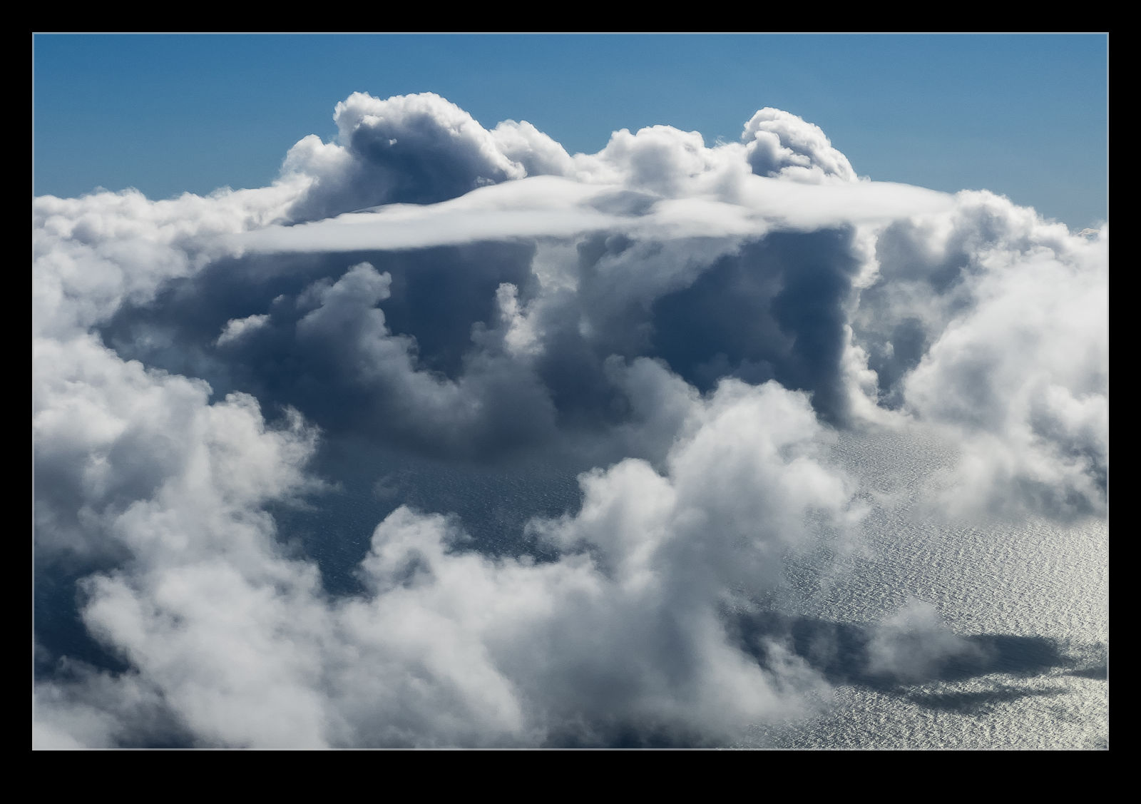
 When my buddy, Mark, was visiting, he wanted to get a little floatplane flying in and took me along for the ride. Kenmore Air have a ticket you can get for a ride along with the scheduled service. You don’t know exactly where you will be going but you will head out to the Gulf Islands and will be out for about three hours. Originally, they said we would stop off at Lake Union to pick up and drop off but that ultimately wasn’t needed although we do do a flyby as I covered in this post about the Space Needle.
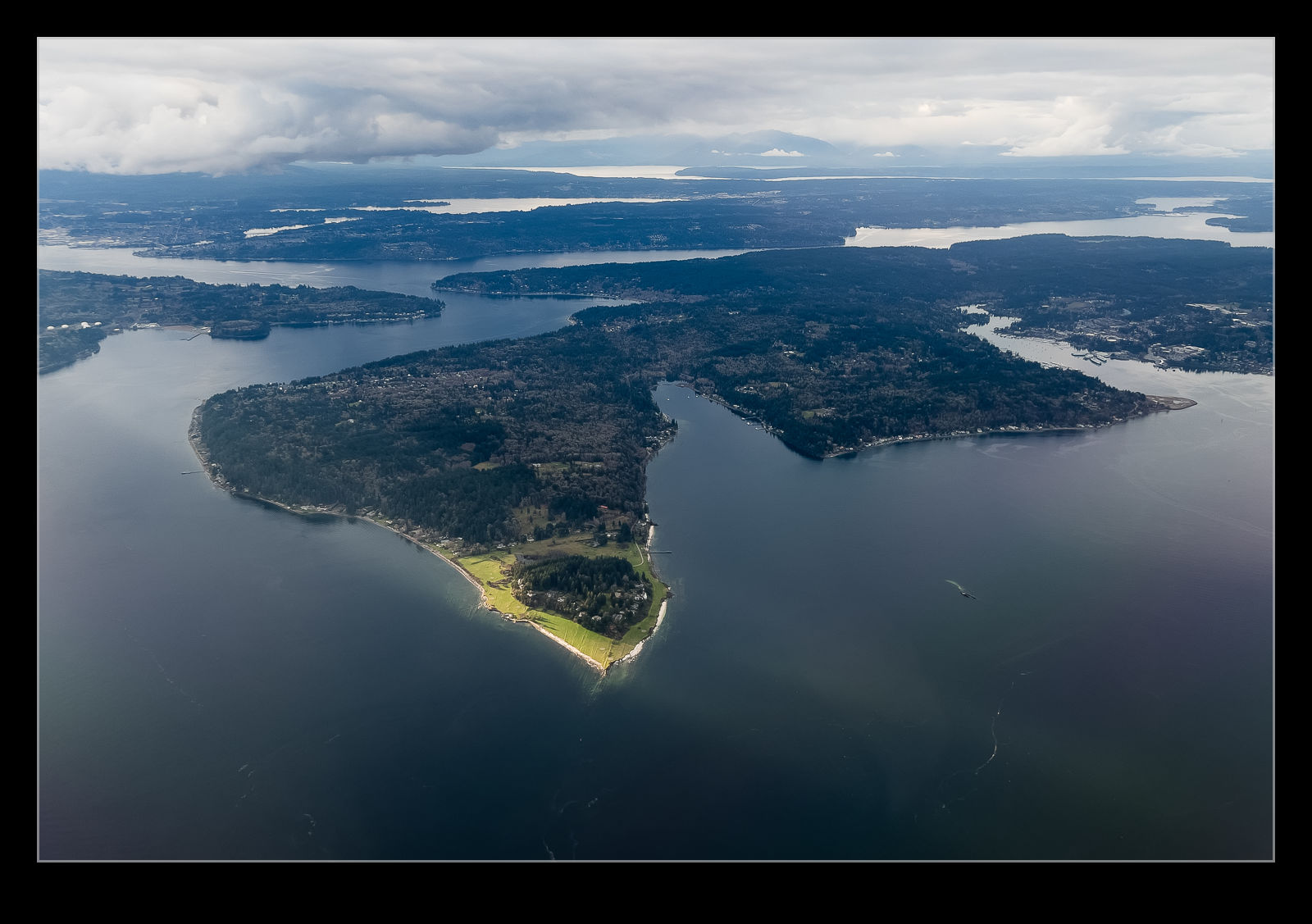
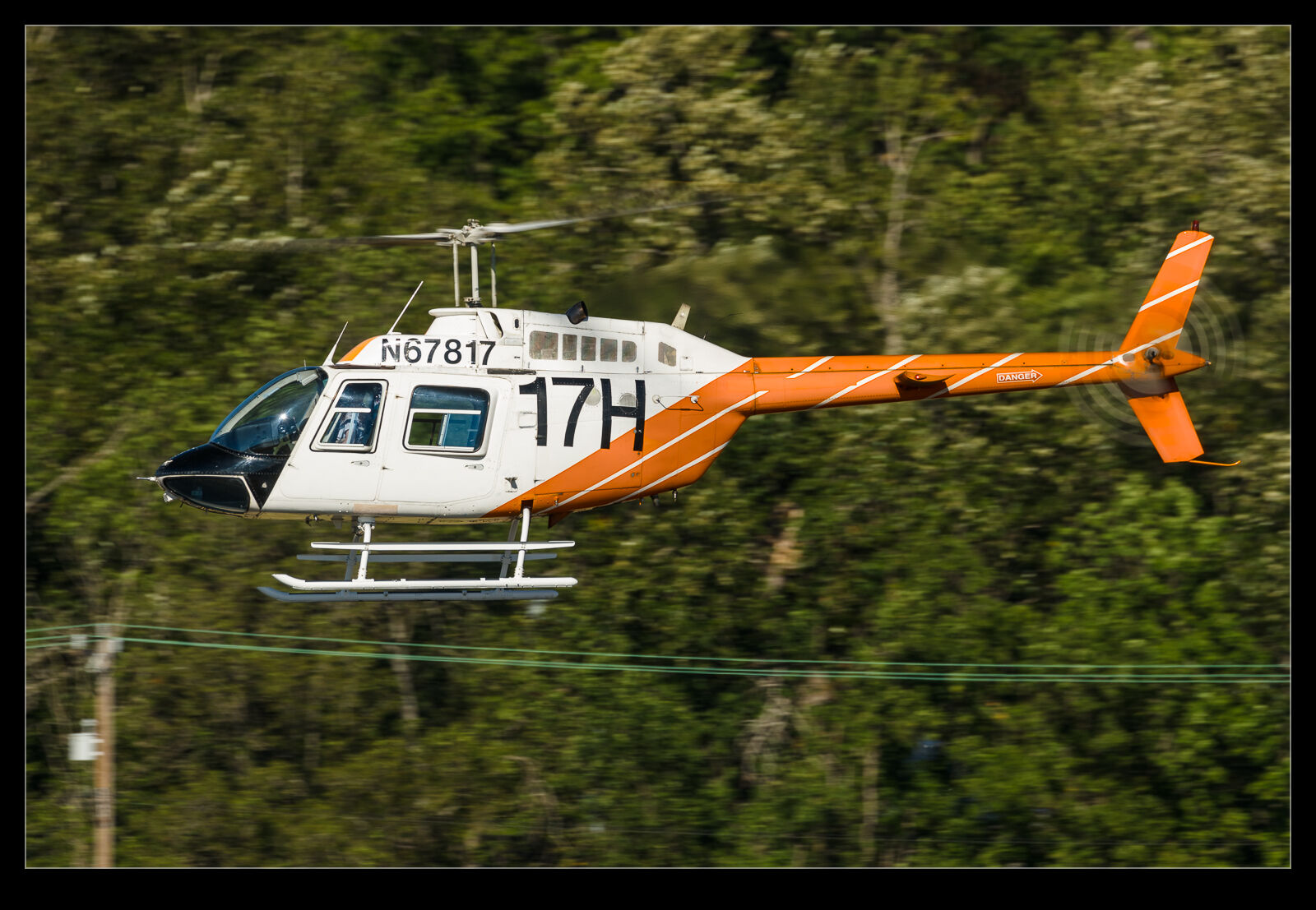
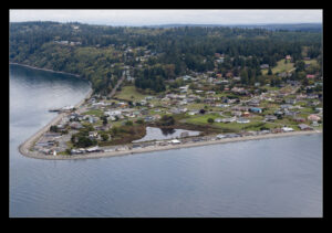
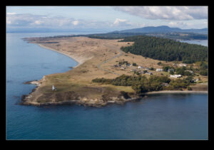
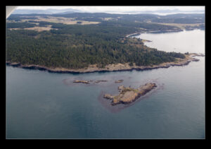
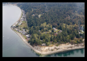
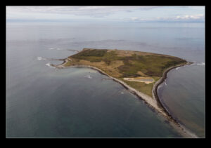
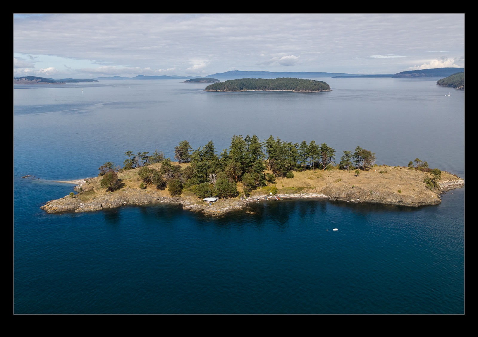
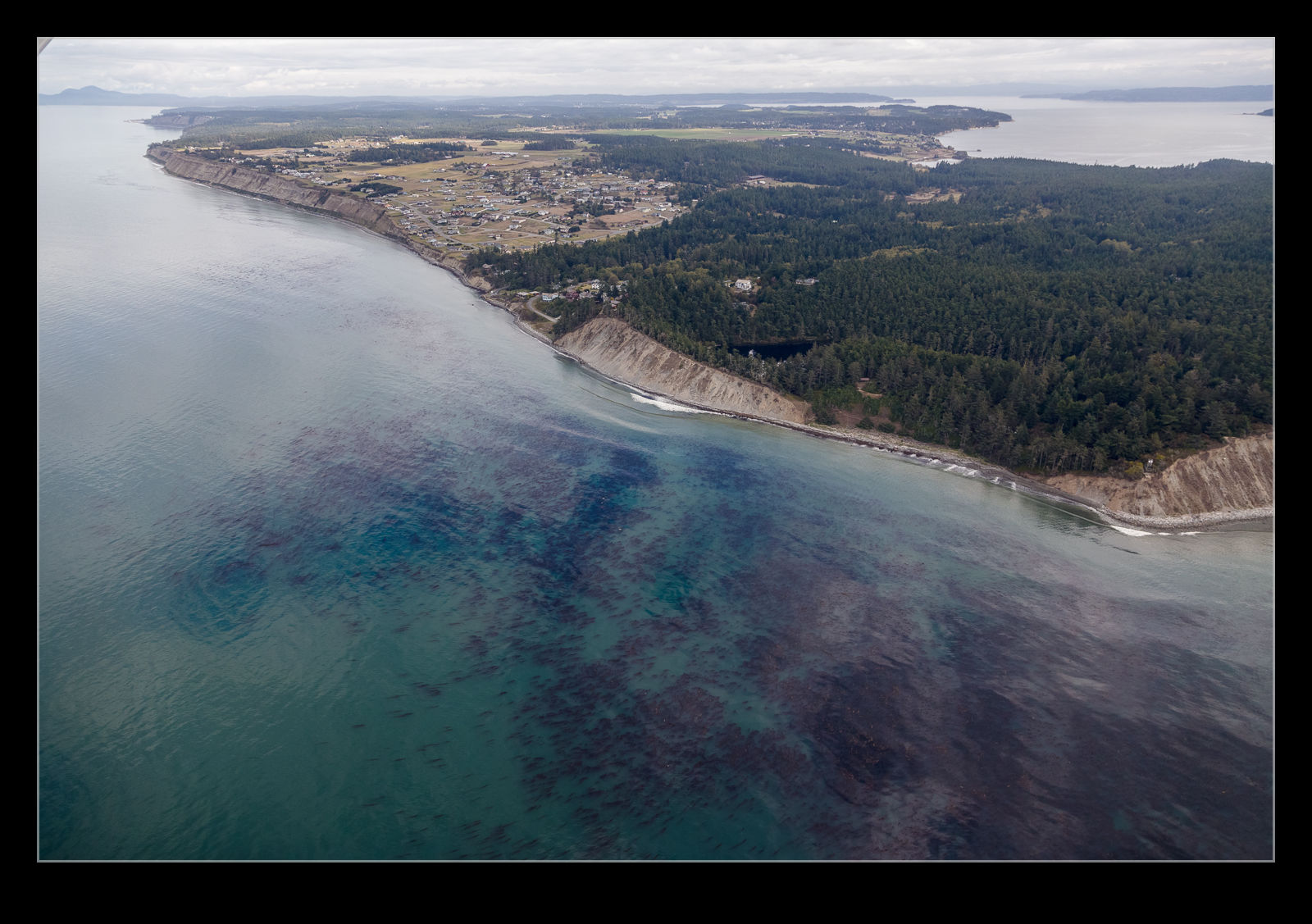 The weather wasn’t too sunny which actually made for some smooth flying conditions. We were in a piston Beaver and probably never got above 1,000’ when transiting. Some of the sections were a bit below that which meant a great view of the scenery. We also saw some boats and they got a post here as well. We skirted passed some islands and over others as we made our way. Our first stop was Friday Harbor and the second was Deer Harbor.
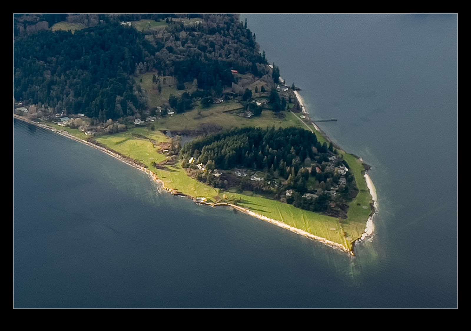
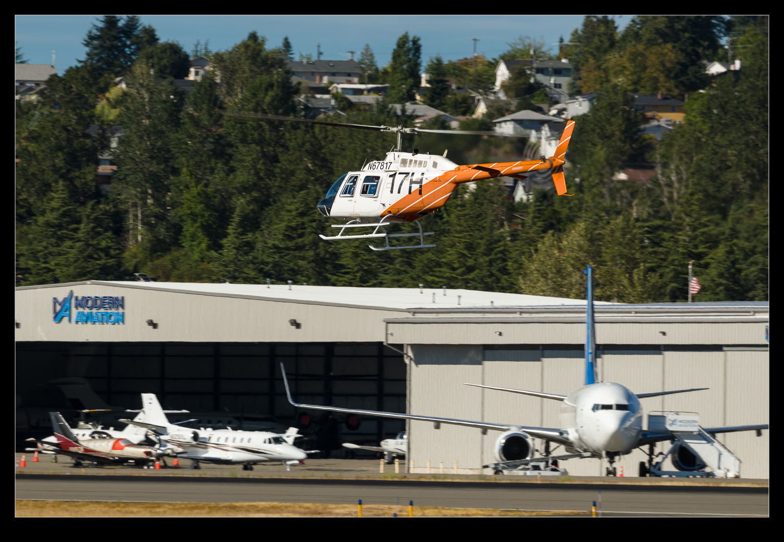
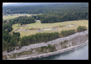
 There was a small airfield on one of the islands that we passed close by. A brief look down the runway as we crossed the center line but then it got harder to see. It was surrounded by trees so was hard to make out. These shots are a selection of those that I got as we made our way around the islands and across the bays and inlets. With spring coming, I think I might need to book another one of these trips.
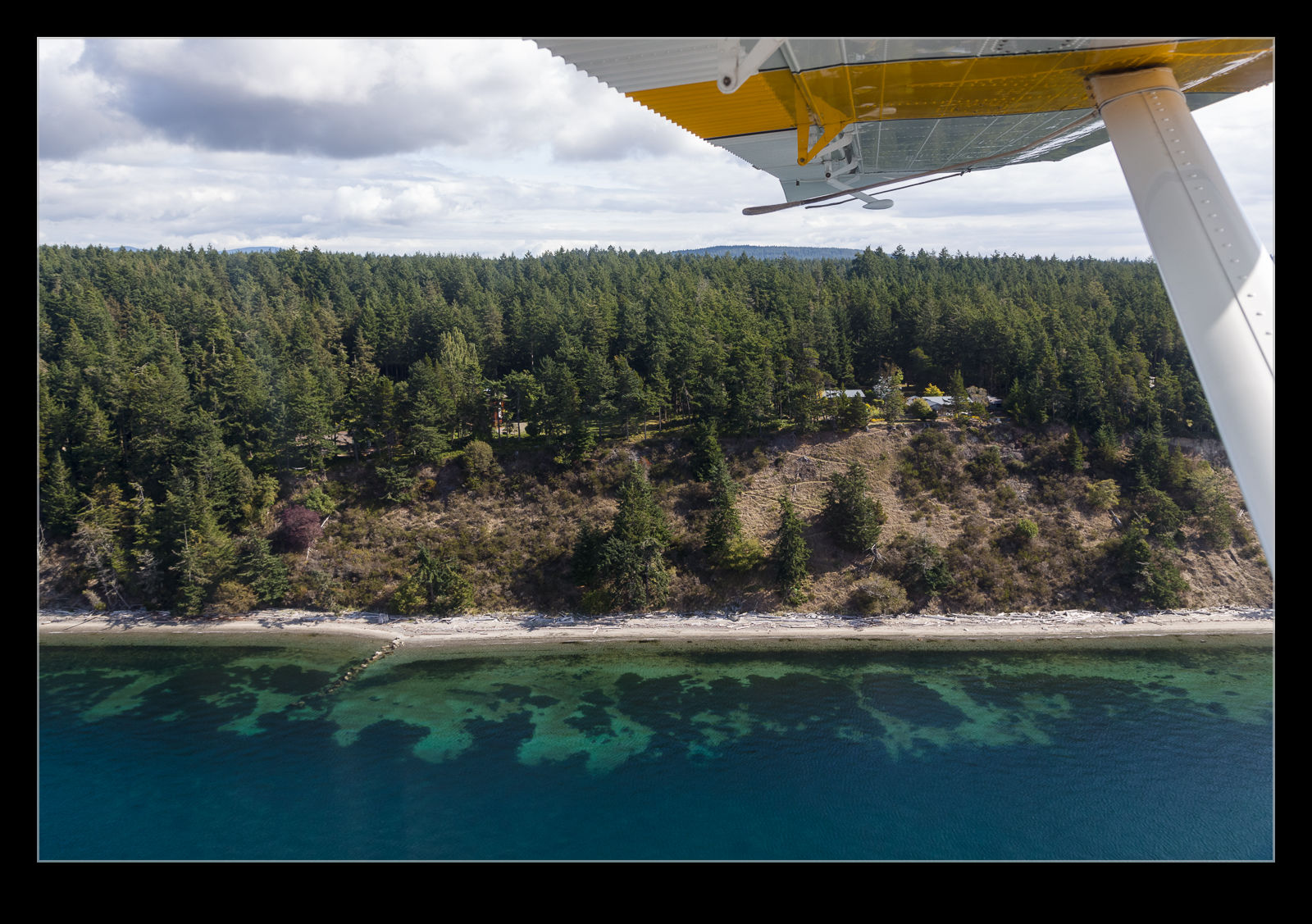
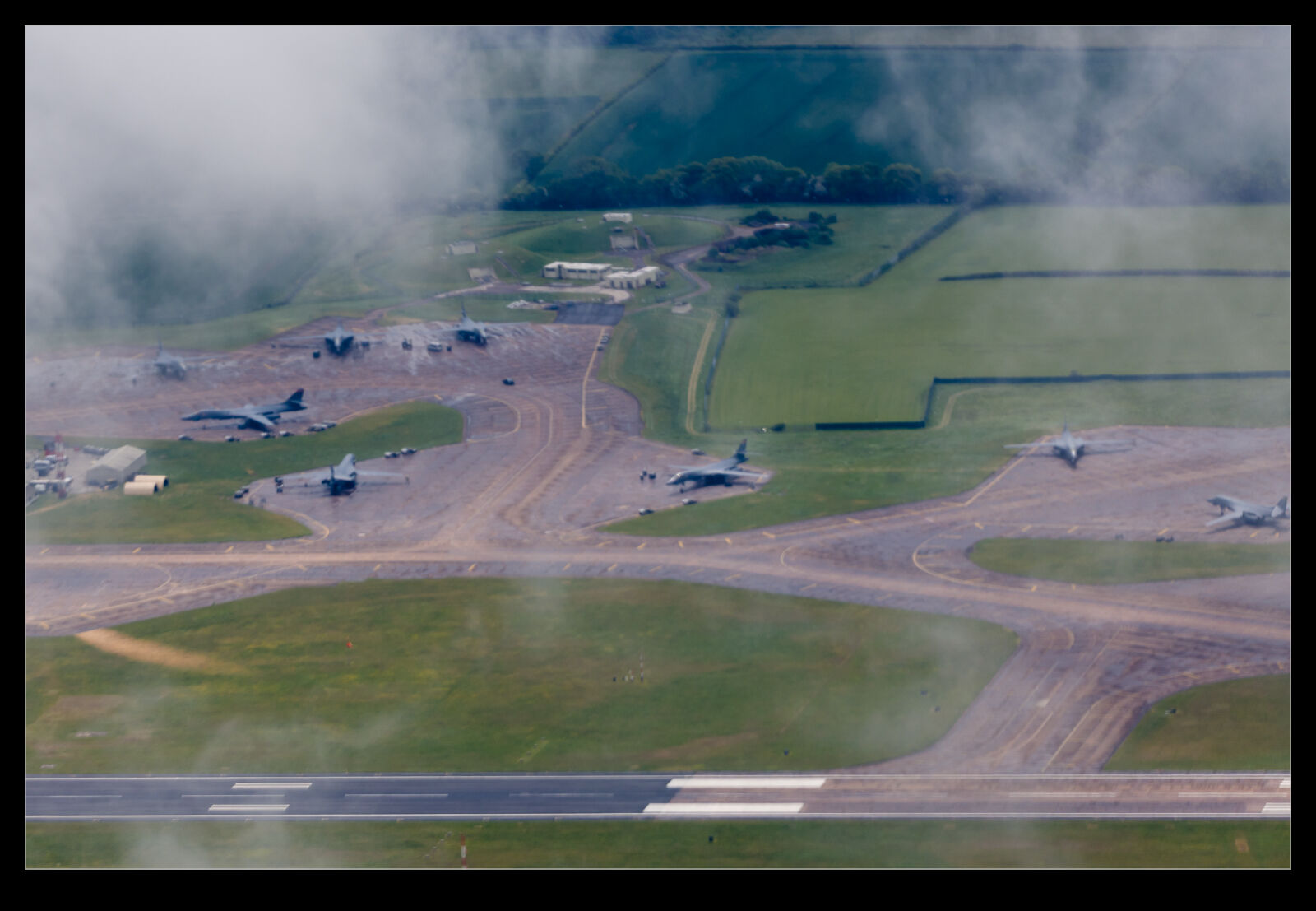
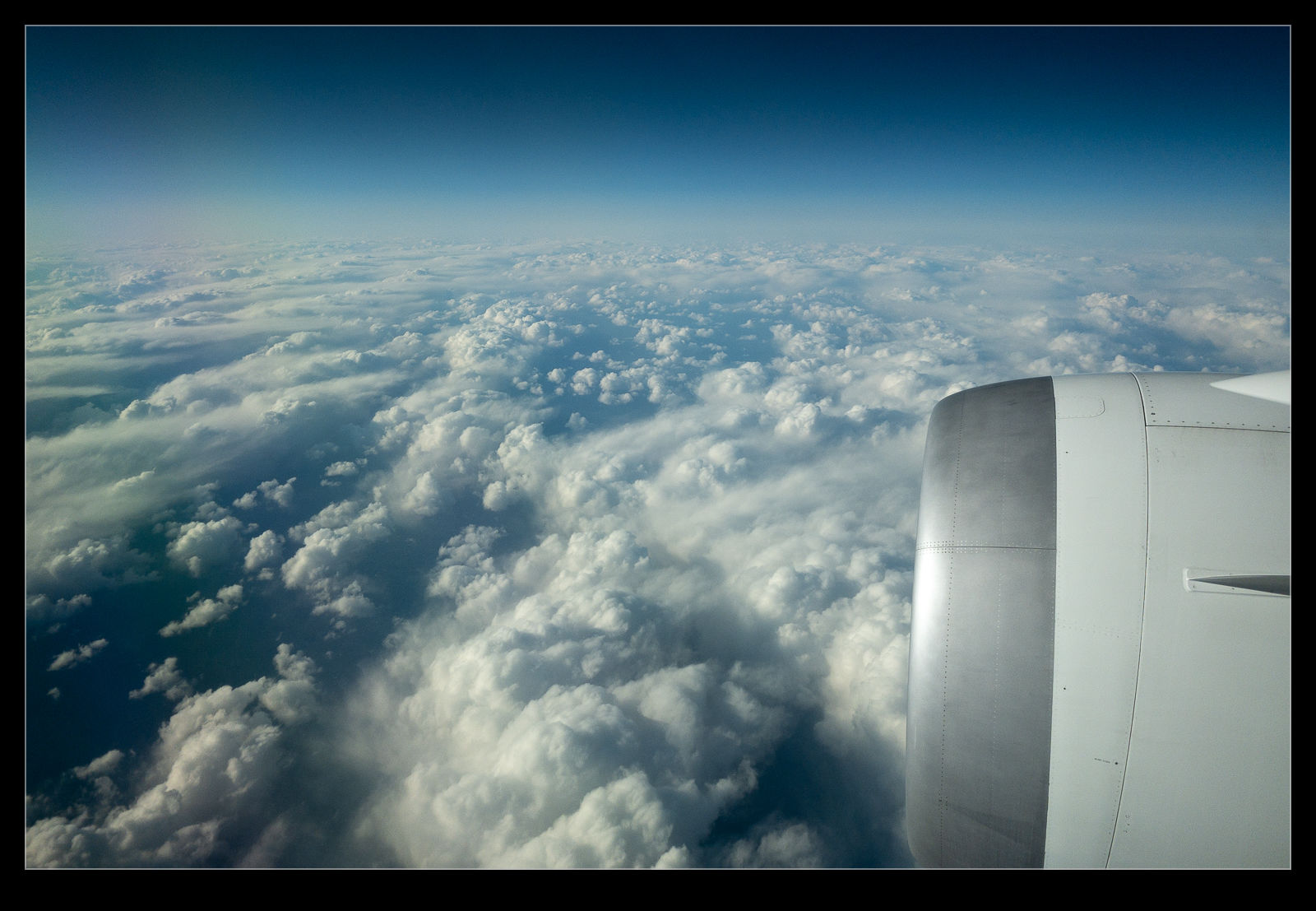
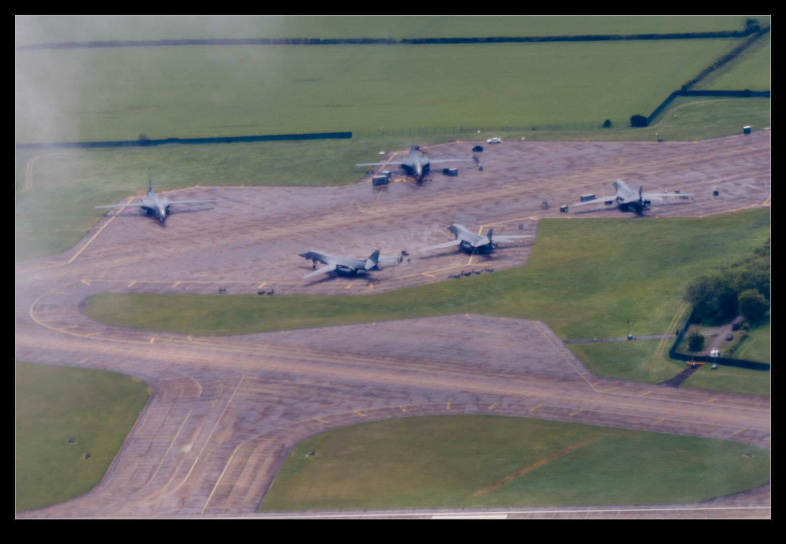 I found myself in a plane over Gloucestershire recently and our route took us very close to RAF Fairford. Most of my photos at Fairford are from the Air Tattoo. However, in this case, whilst there was a fair bit of cloud in the area, I was getting shots looking down on the airfield. It has been used a lot recently for USAF missions to the Middle East. Things were a bit quiet while I was there but there were plenty of B-1Bs on the dispersals awaiting whatever might come next. Shooting through windows does not make for great image quality unfortunately.