Tag Archives: trail

Otters Snacking on the Bank

A sunny Sunday afternoon seems like a good time to go for a stroll.  It was not supposed to be a wildlife photo trip.  I did have the little M6 with me in my pocket, though, and, since the 55-200 is pretty small, I took that along too.  I was rather glad I did too as, while walking along the river, we saw a family that were peering in to the river.  There were ripples on the surface so we stopped to see what they had seen,  Soon we could see the outline of a pair of otters swimming about.  We watched for a short while and were about to move on when they swam down towards us and climbed out on to the bank.

One of them had caught a fish – a pretty big one in comparison to the otter itself.  It started crunching noisily in to the meal while the other otter seemingly stood guard.  They were on the bank for ages so we watched them for a while and then left them to enjoy their lunch.  A short distance further along we came across a couple watching another otter so I guess this stretch of the Sammammish is pretty popular with otters!

Sammammish River Trail

I have biked along the Sammammish River trail on a number of occasions and it seemed like it would be a good place to take a walk and enjoy the scenery at a more leisurely pace.  A sunny Sunday afternoon provided the perfect time so we headed out.  We clearly were not the only ones with such an idea as the weather had attracted tons of people to the river.  Fortunately, it is a big trail so it wasn’t too crowded even if it was popular.

It is a nice stretch of river and sufficiently far from the road in most areas to provide a quiet environment to stroll along.  All of the people mean it is a bit less peaceful but it is still a nice place to be.  The river is heading pretty directly from Redmond to Woodinville but it does have some gentle bends to provide a little variety in the scene.  Just walk along and look for wildlife – more of which will come soon!

Sammamish River Trail

The Sammamish River Trail runs through Woodinville and heads south towards Redmond or west through Bothell.  We decided to try it out one weekend day.  We were not alone as there were plenty of walkers and even more bikes.  It was a pretty warm day and sections of the trail are exposed which made it hot.  However, as we got closer to Bothell, tree cover meant it was a lot more comfortable.  Plenty of people were also on the river in kayaks and canoes so the river does seem to attract a lot of users in one form or another.

Lost Lake

Lost Lake is a within walking distance of the center of Whistler.  The trail from the town takes you along the river.  Once you get to the lake you can take a walk around the perimeter.  There is a beach area that is at one end of the lake that was a popular spot that day.  (You can park there if you don’t feel like a walk from the town.)  While the temperatures were not that high, a couple of people were even making use of the clear skies to do some sunbathing!

We too an alternate route around one side of the lake.  A trail was named the Upper Panorama Trail so we took it.  I think we were justified in assuming that this route would give us an elevated view of the lake.  I’m not sure if there were spots that you could see the lake if you went off the trail but, from the trail itself, we were deep in the trees the entire time.  There was no view of the lake from up there.  It was a good walk though and an opportunity to walk off some of the bakery goods we had been sampling!

Icelandic Veteran With a Smoky Engine

Icelandair has made a good business of operating Boeing 757s on routes from Iceland to the US with Seattle being a regular destination for years.  There was a time when the 757 was a cutting-edge jet but these days they are getting up in years.  Similarly, the RB211-535E4 was once considered very advanced.  Now, it is dated.  It turns out that one of the engines on this flight is in a little better shape than the other.  As they cycled the power on the approach, the starboard engine was noticeably smokier.  Not a big deal but I guess it has been on the wing a little longer than its partner.

Akaka Falls

I am like many tourists in that I am a sucker for waterfalls.  I suspect as I go through the many posts on this blog that I will find plenty of waterfall shots.  Today I shall be adding one more.  Akaka Falls on Big Island are a popular spot.  Tour parties seemed to be a feature the day we were there.  We saw so many people wearing badges defining which group they were in and you could see the group number change as you walked around and obviously came across a different part of their schedule.  However, they were not what we were there to see.

You can take a short walk to the falls from the parking lot.  What is nicer is to take the longer loop.  You actually get a view of some other falls early on in the loop although they are across a valley and so a little less dramatic.  The area is rain forest like in its conditions so you get to see plenty of cool plants and wildlife as you go, some of which has already made its way on to this blog.  Near the end of the loop, you come down a slope and the Akaka Falls are in front of you.

They are some pretty high falls.  The volume of water rushing over them was substantial and you could see smaller streams of water around the opening.  Sadly, the viewing area was such that it was hard to get a good view of the bottom of the falls and the surrounding water so everything felt a little isolated when trying to frame it.  I’m sure with more time and persistence, I might have found a better way to get some shots.  The blog is most suited to landscape format shots but these falls were stretching the wide angle nature of the lens I was using so portrait was often the best option.  They are snapshots of a tourist spot but they make me remember a really cool waterfall.

Devils Slide Exits the Fog

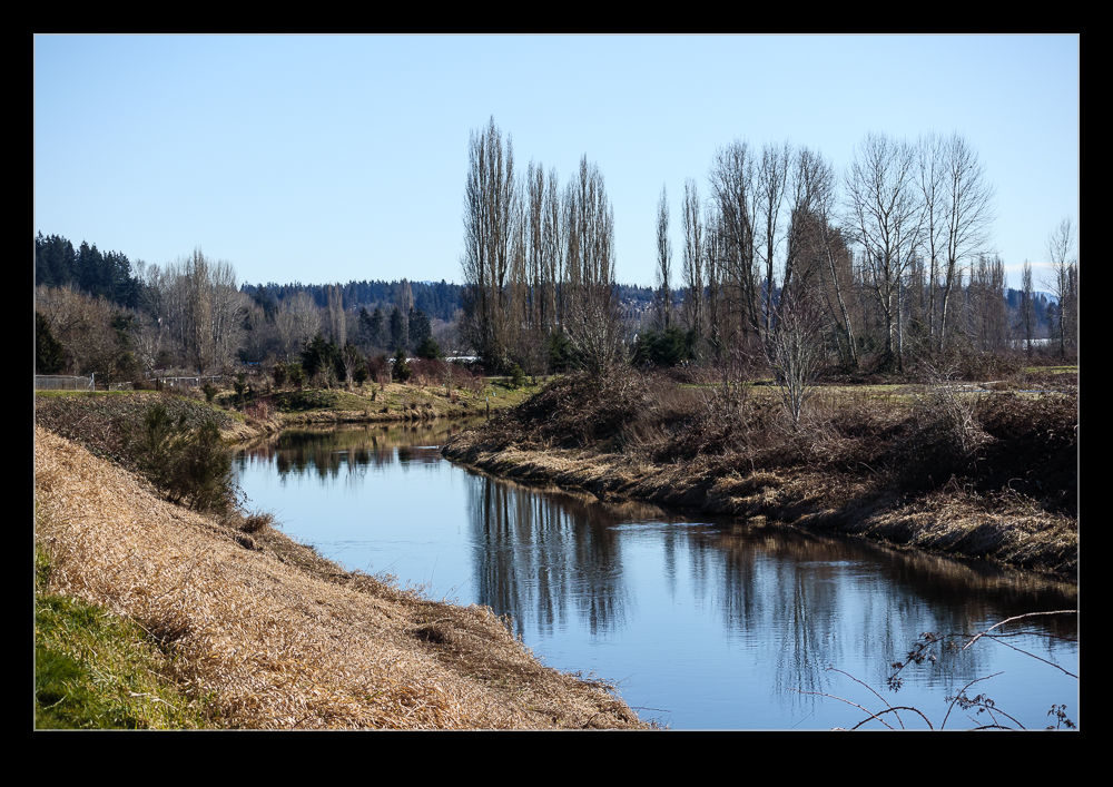
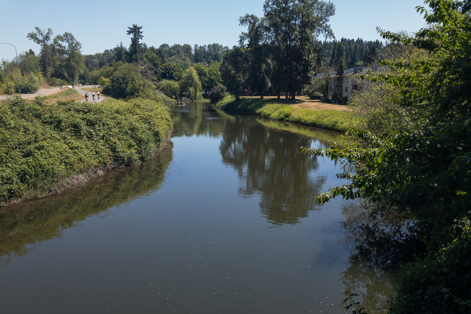
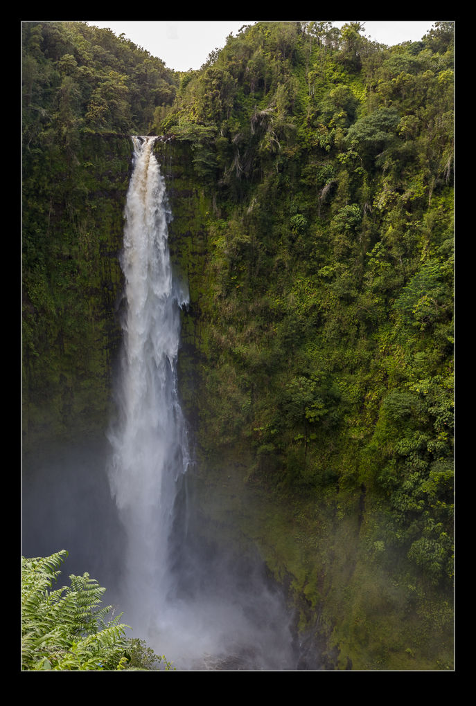
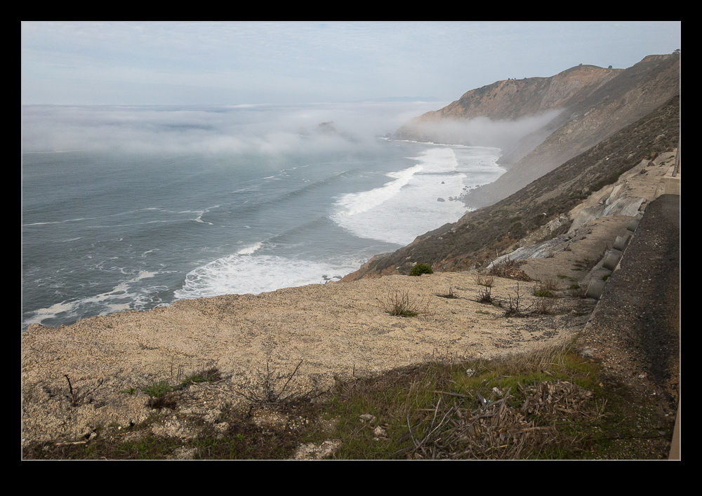
When my mum was visiting, I thought it would be a good idea to take her to Devil’s Slide to walk along the coastal trail.  We drove out there and, coming across the bay we went into some pretty thick fog.  I was tempted to bail on the plan at that point but we decided to keep going and see how things were.  Even as we were on Highway 1, it was still foggy.  It really didn’t look like a good idea at all.  The best bet for turning around was at the parking for the trail so we went there anyway.  It still looked bad but we got out and decided to take a look.  The sun felt like it was trying to poke through the overcast so we took a chance.

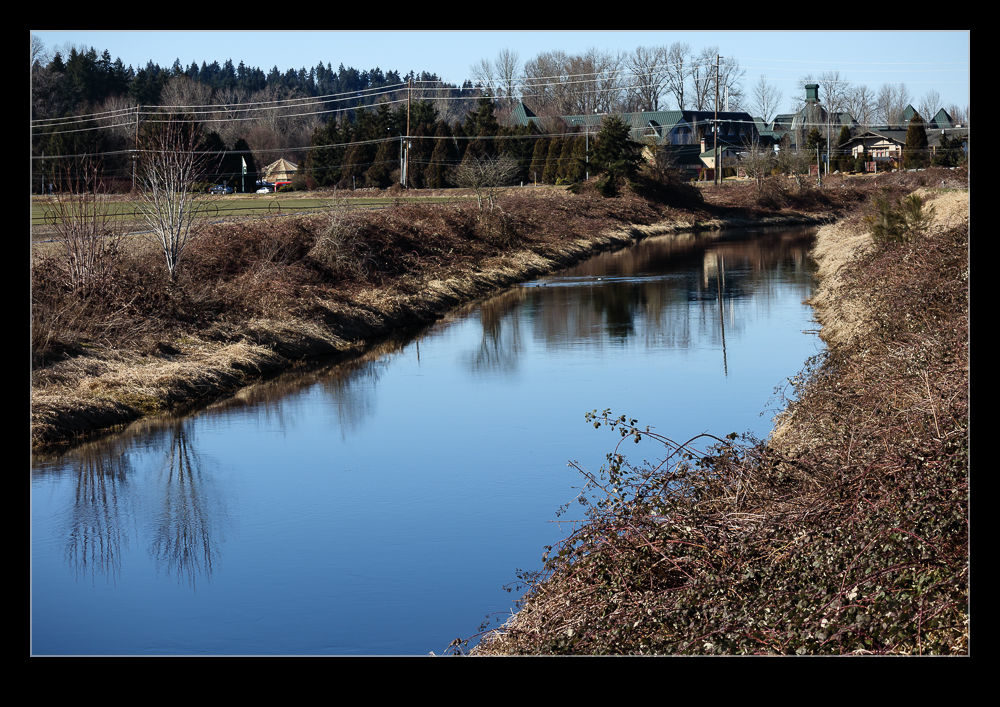
Turns out we were lucky.  As we walked along the trail, the sun was burning through and the view was opening up beneath us.  There was still a lot of cloud around but it seemed to be receding from us as we walked.  Equally importantly, the conditions meant there was little wind unlike my previous visit when I felt like I could get blown off my feet at some times.

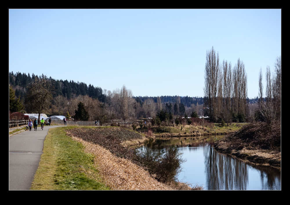
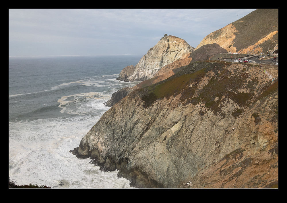
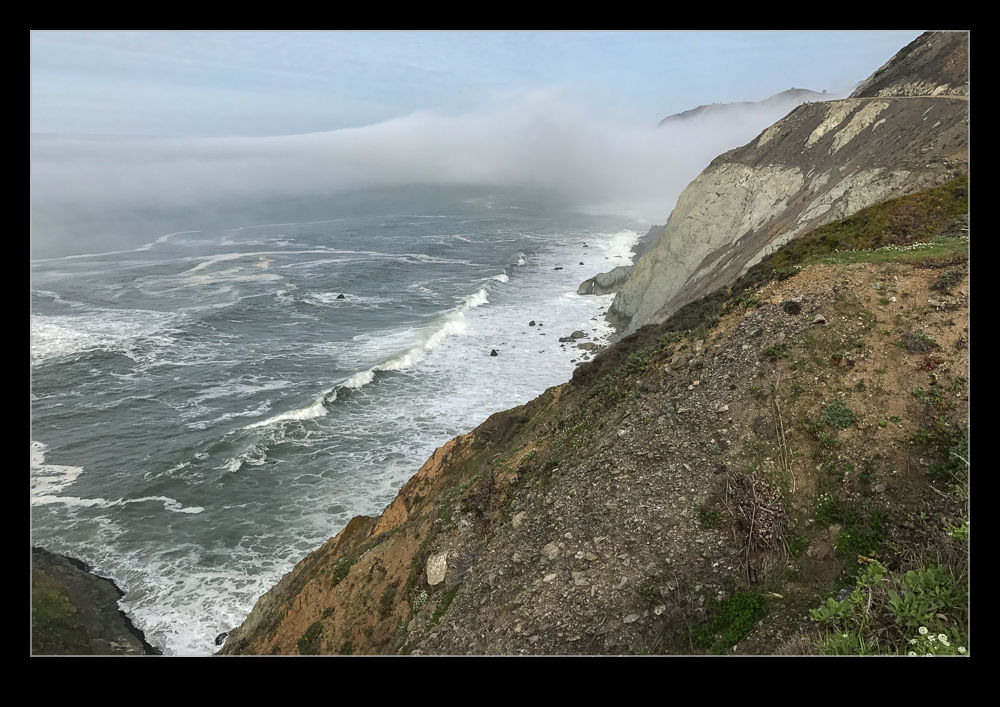
We walked most of the trail and then headed back.  It was a great time to be up there and the waves crashing below us looked great.  The whole time, I was only shooting with my phone.  I hadn’t anticipated the walk working out so I had left the main camera in the car while we checked things out.  Instead, we kept going.  I was shooting in RAW for the first time on the phone and that will get a post of its own in due course.  It turned out our timing was really good.  Once we were back and driving up the coast, the cloud started to drift back in again.  I think we got rather lucky.
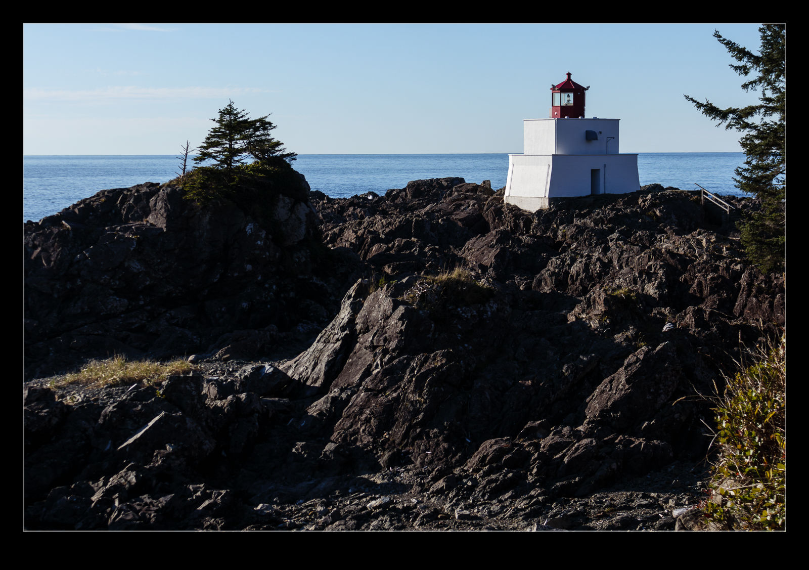
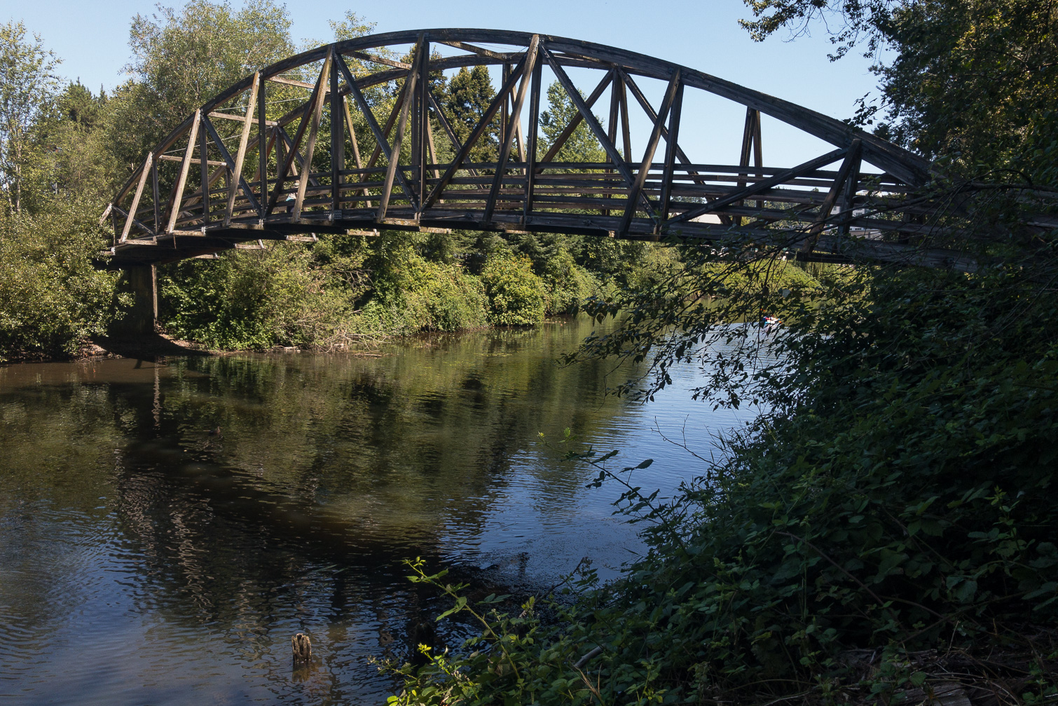
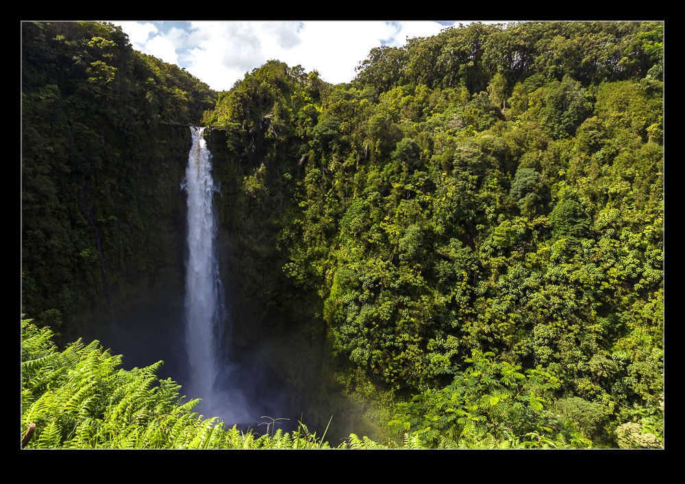
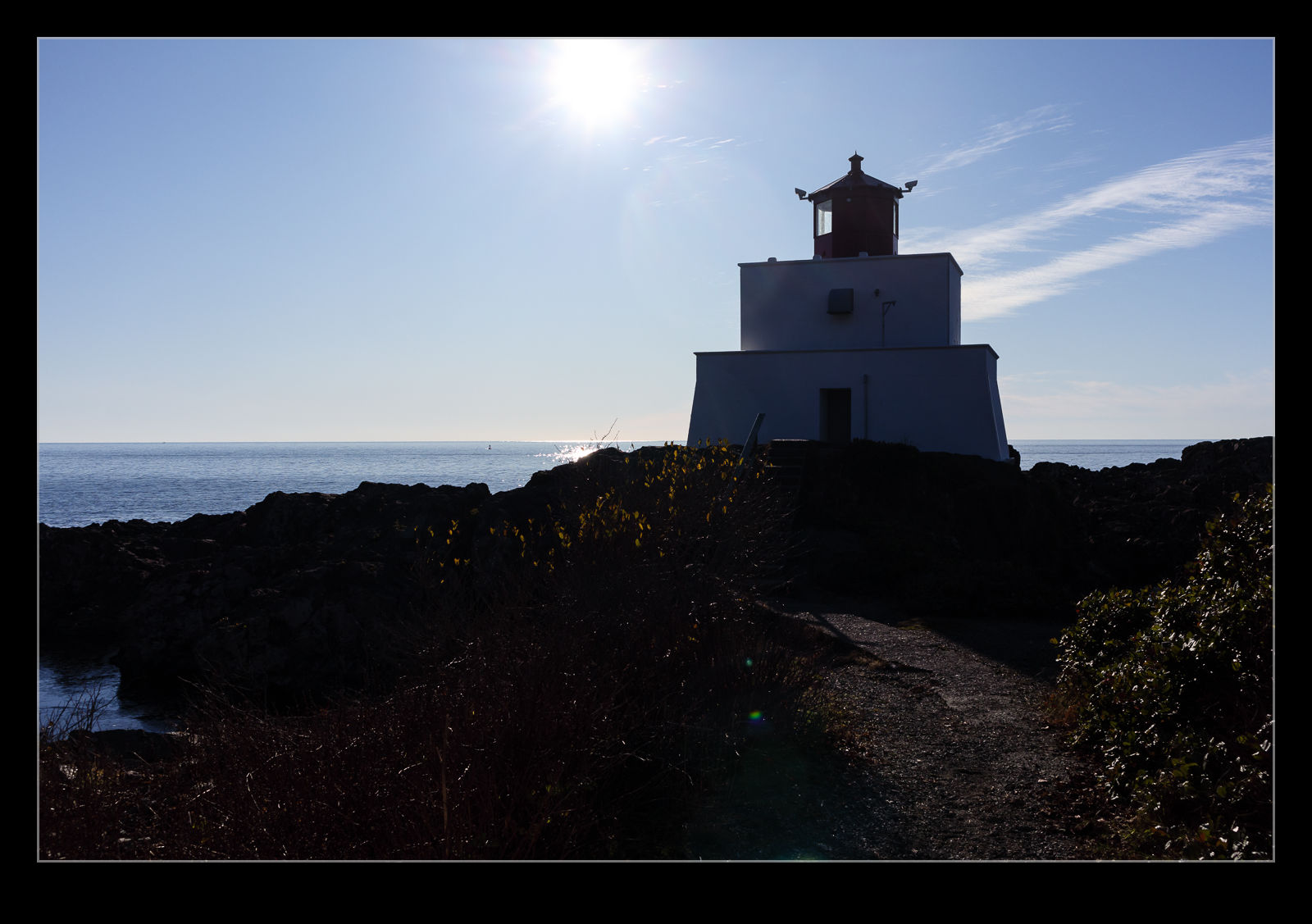
Climb to the Top of Hurricane Hill

B11I8118.jpgHurricane Ridge is a popular place to visit but go a bit further along and you come to the trailhead for the climb to Hurricane Hill.  We felt up for a bit of hiking.  The hike is not terribly long but it has two elements to consider.  One is a fair bit of climbing with some reasonably steep grades.  The other is that you are quite high so the air is noticeably thinner.  That is a great excuse for taking things at a steady pace.  It isn’t me, it is the altitude!

B11I8122.jpgIt certainly is a popular trail.  Plenty of people passed us as we were going up and coming back down.  The views as you climb get better and better.  Some wildlife shows up as well.  We saw a marmot at one point.  It only lives between certain elevations so this was the only place we were going to catch it.  Once you get to the top, you have a view down to the coast.  Port Angeles lay beneath us and you could see over to the islands in the distance although the view was a little obscured by the haze.  The trip back down was okay but walking downhill is something I don’t enjoy if it is steep.  Climbing may be tiring but I find it less hard on the knees.  This wasn’t too bad though.  You stop less on the way back down since you have seen all of the views on the way up when you were more than happy to pause (only for the photo – not tired at all).

B11I8138.jpg

Devil’s Slide Trail

AU0E6203.jpgShortly before we moved to California, a change was made to the route of Highway 1 along the Pacific coast. Many stretches of the Pacific Coast Highway run along the tops of cliffs. One section south of Pacifica was very prone to landslides with regular disruption to the accessibility. After many years of debate, the decision was made to create a twin bore tunnel for the highway to bypass the troublesome area without impacting on the surrounding area.

AU0E6205.jpgThe surplus highway was not abandoned though. Once closed, work was started to convert it into a trail for walkers and bikers. This was opened not long after we arrived. Ever since reading about it, I had been thinking of checking it out and, on our way home from a weekend down in Half a Moon Bay, we stopped to see what it was like.

AU0E6218.jpgThe whole thing is probably 1.5 miles in length. It certainly includes some pretty steep slopes considering that this was once a highway. The views over the cliffs to the ocean below are stunning. You are pretty exposed though. On the day we were there, there was quite a strong wind. Sections of the trail are a little sheltered so you don’t notice the wind. Others, though, are in the teeth of the wind. One area has a cutting between a rocky peak and the cliff face. The wind really accelerates through here and we were working hard to keep on our feet!

AU0E6191.jpgSupposedly you can get migrating whales coming very close in shore at this location. I would certainly want to go back to see if we can some whales. The high angle would certainly make it easier to spot them compared to the normal effort picking out the clouds of spray when they exhale. I will be interested to see how busy it can get. It was not too popular when we were there but maybe the timing was not good for many people.

AU0E6201.jpg