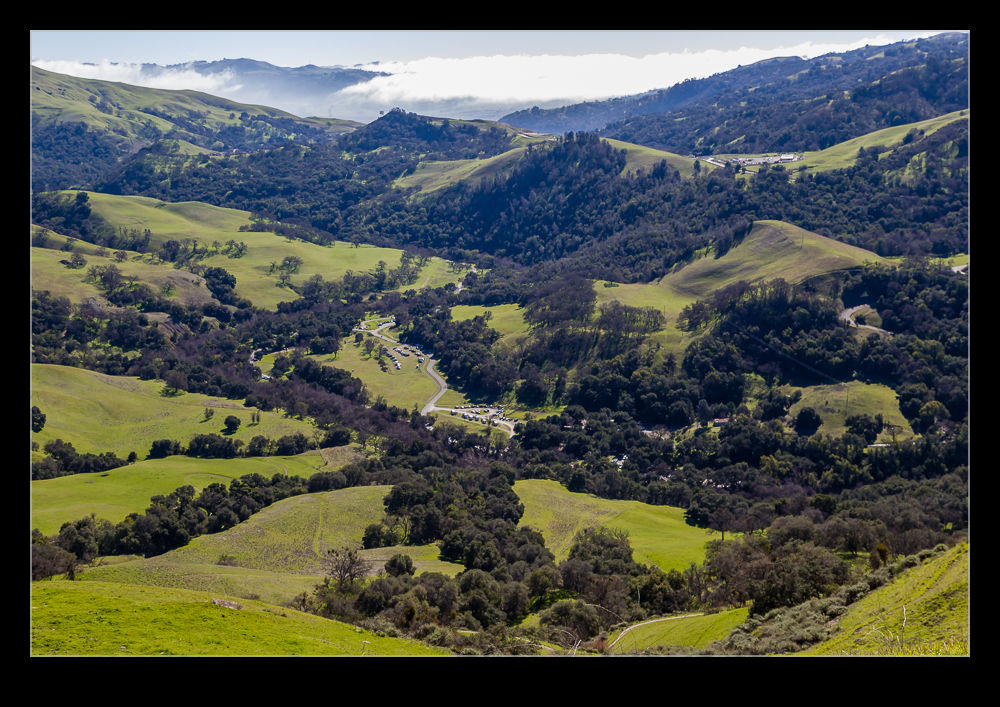
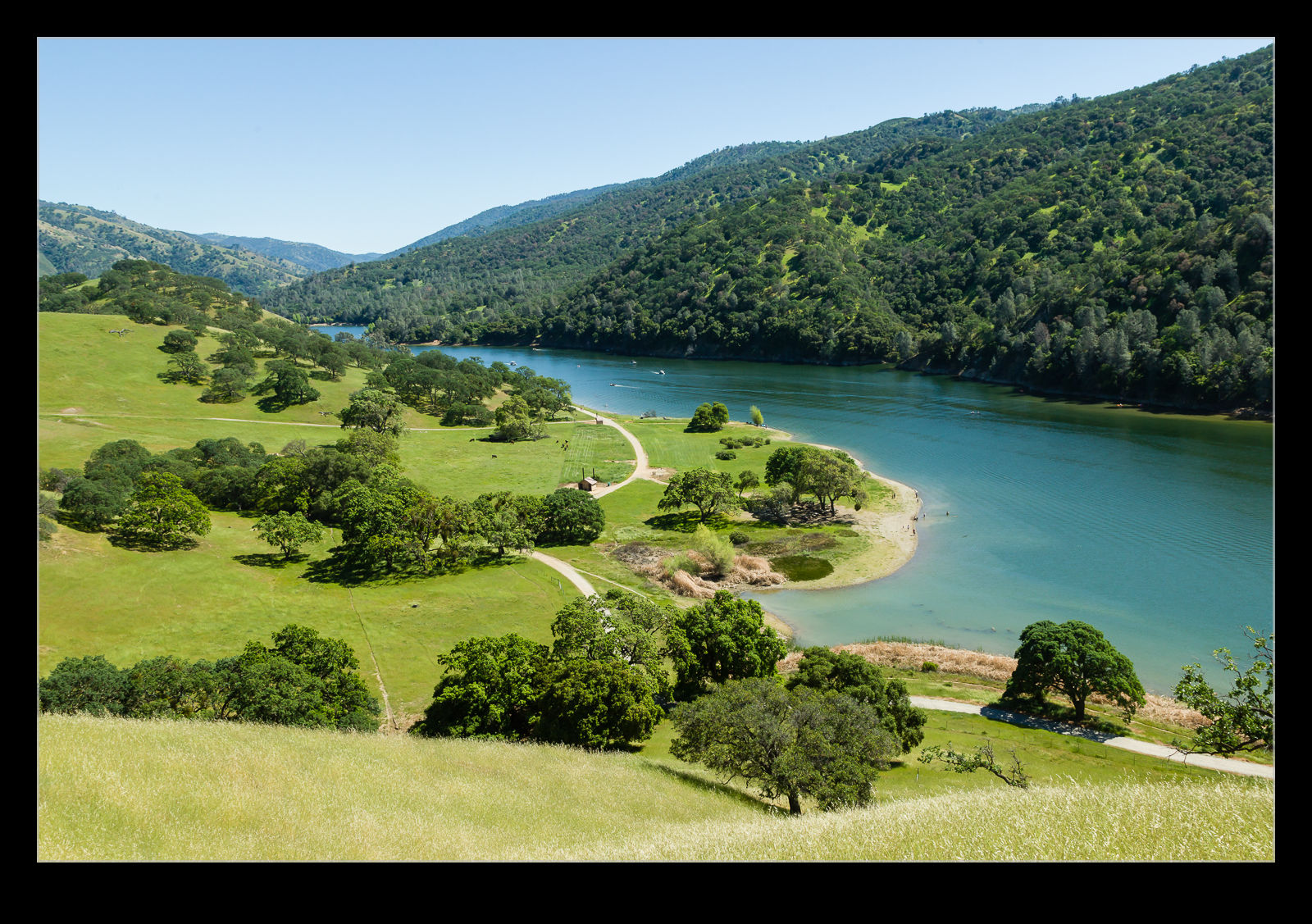
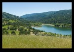
Head south from Livermore and you get into some hilly territory beyond the vineyards. Climb over one of the ridges and you drop down into a valley flooded by a reservoir. The water is surrounded by a park that has lots of options for hiking, biking, boating and just hanging out. This is Del Valle Regional Park. We were keen to try and get some hiking in before the temperatures got too high so planned out a route that would take us up around the hills and back down to the lake.
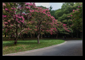
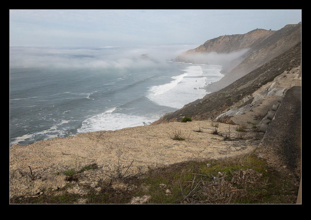
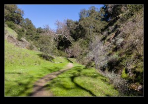
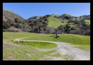
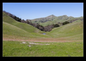
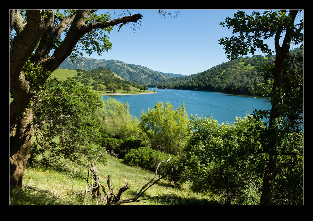
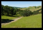
 While the park is very popular and a lot of people were along the water having picnics and swimming, it didn’t take long to get well away from everyone. To be fair, it wasn’t hard to see why. The route we took involved a very steep climb to start things off. Without having warmed up much, we were both suddenly very aware of how quickly (or not) we were going up. However, once we had reached the high point, we then had a far more relaxing path to take along the ridge. The view was fantastic and we were almost totally alone for the entire route.
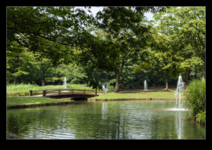
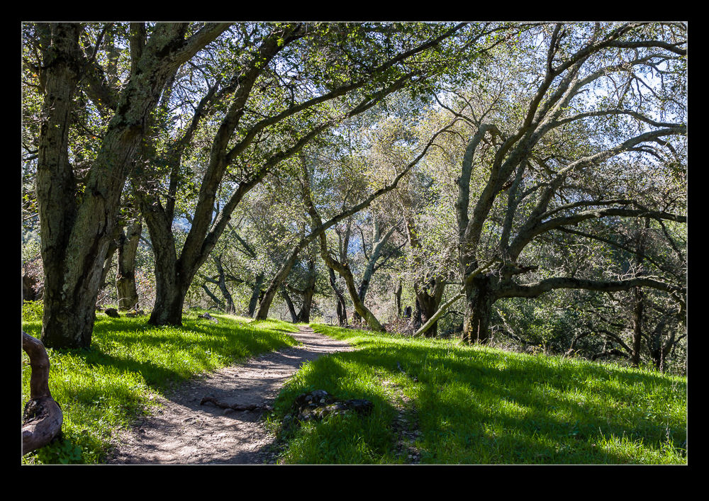
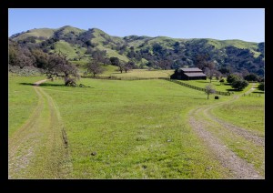
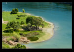
 Finally we dropped down to the water and had a gentle stroll back to our starting point. Meanwhile, plenty of people were enjoying the water. Kayaks and powered boats were all over the water. The edge of the water had a lot of people fishing. All in all, it seemed the image of relaxed sunny day.
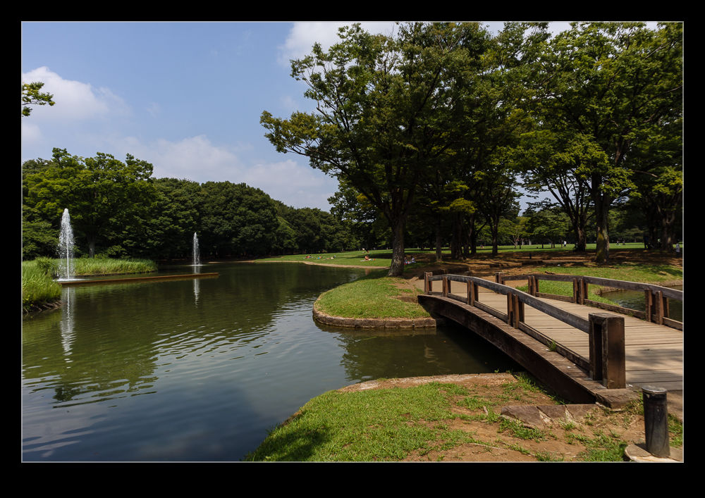
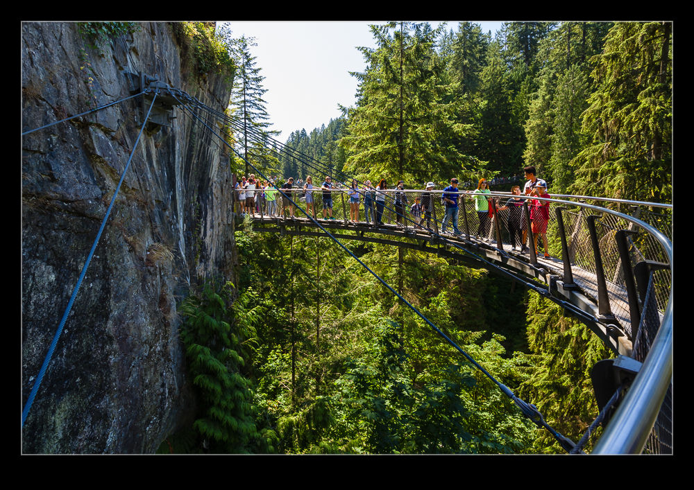
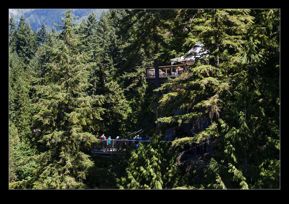
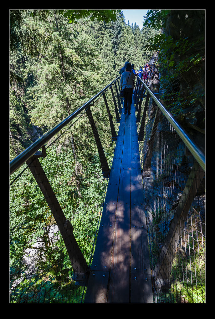
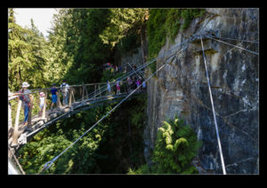
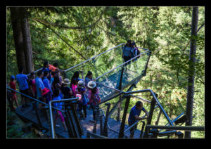
 A short walk from the heart of Canmore is a loop trail that runs along the Bow River. It probably was a longer walk to get to the trail and back than the trail itself was but it was a lovely stretch of the legs for us. I have previously posted about the elk encounter that we had on that walk but the rest of the walk provided some lovely scenery to enjoy. There are some old bridges across the water that look like they would have been rail bridges at some point but now provide great foot access for everyone. A relaxing place to stroll, for sure.