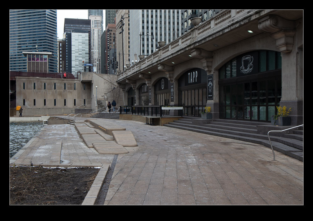
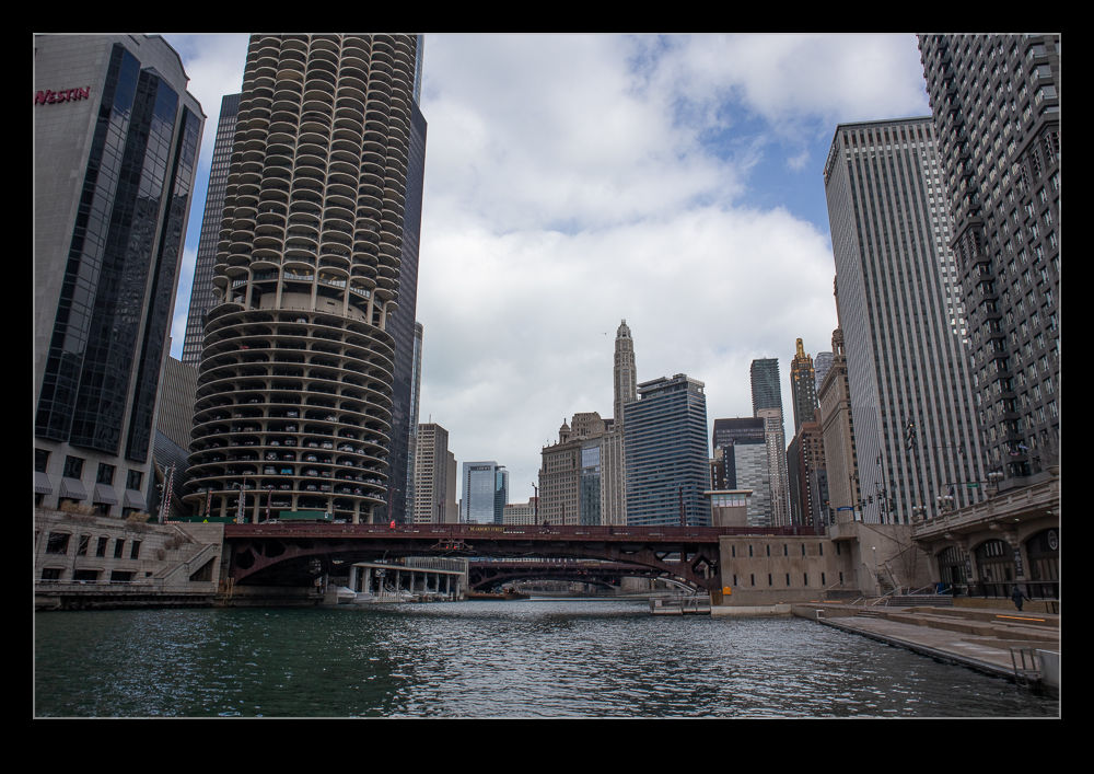
 When we were getting ready to leave Chicago, the city was in the process of extending the river walk. This had originally gone along the river up to Michigan Avenue. The first phase extended the walk to State Street and this was in place by the time we left. The plan was to take it all the way to the branching of the river. A few years have now passed and the plan is now a reality. To get from my hotel to my meetings took me along the river so I checked the walk out.
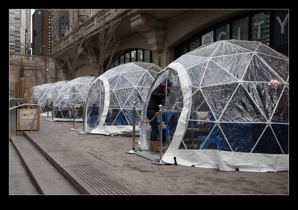
 This proved to be a bit more tricky than I expected as it had snowed the night before and the surface alternated between clear, crunchy with frozen snow and slick with ice. Just what you want when walking close to a river! On the way back, things were warmer and a lot more relaxing. It is too early in the year for all of the businesses to be in place but you can see what will be there. One wine bar was open though with clear plastic igloos to give you some privacy and, more importantly, warmth.
 You can now walk from the lake all the way to Lake Street. This is a great improvement and is a lot nicer than walking along Wacker and having to cross the streets at each bridge. Now I just need to find a reason to be back during the summer so I can hang out down there when it is warm!