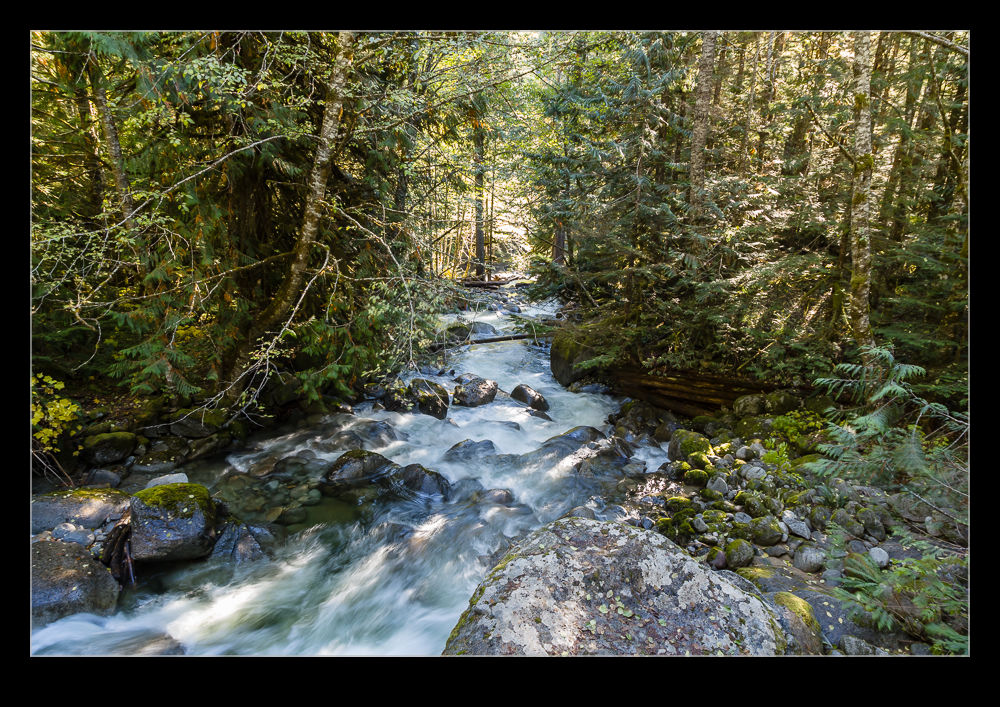
 We almost missed Deception Falls. I had put it in to the GPS when we headed across US2 over the Cascades but the GPS had picked up on the place I marked and decided an alternate road would get us close. It did but on the wrong side of the road and that had a benefit we hadn’t anticipated which will be the subject of a separate post. However, we had missed the falls and we continued on our way east.
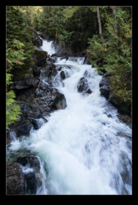
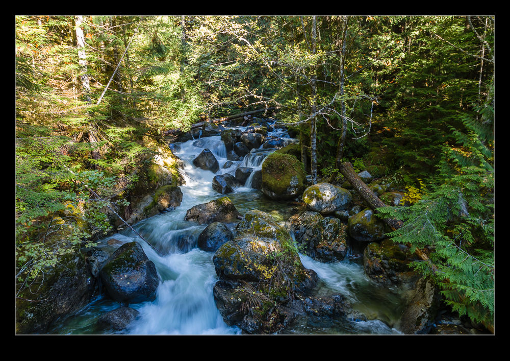
 When we made the return trip, as we got closer to the spot I had marked, we realized it was coming up and started to debate whether to stop or whether we were happy to continue home. We debated for a while over this but, as we got closer, the sign came up for Deception Falls and, since we were there already, why not just stop. Thank goodness we did. The falls are really cool and they are right next to the road. The level of effort is virtually zero for a great result.
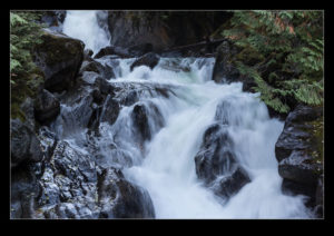
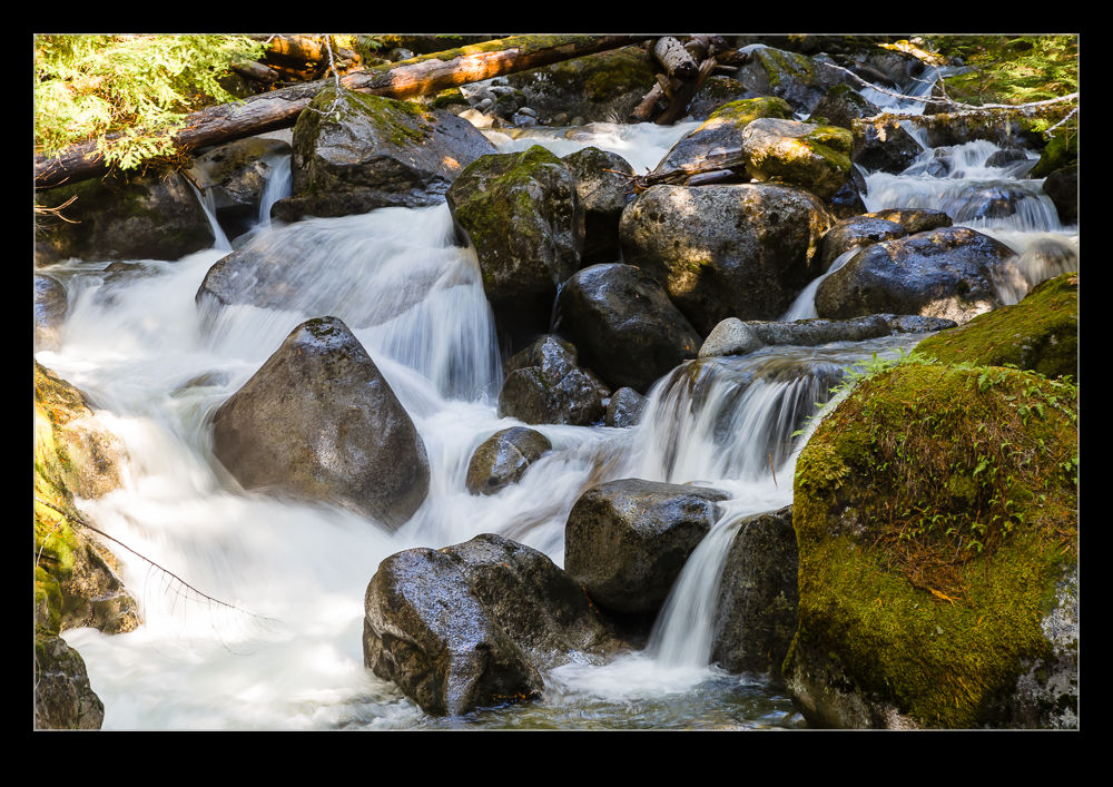
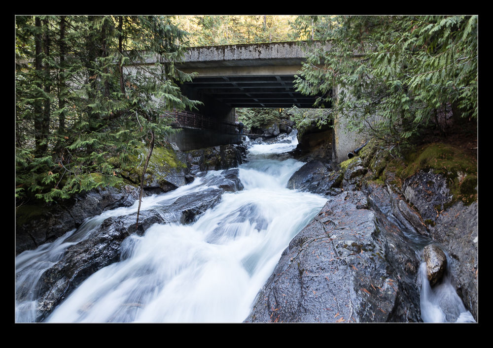
 The falls run under a bridge which you can cross but, aside from looking upstream and down from the bridge, it is worth looking through your feet. The surface of the bridge is metal grate which allows you to watch the water tumbling beneath your feet. On the other side, you can walk along a path that runs up alongside the flowing water. You are so close to the water, you feel like you are almost in it.
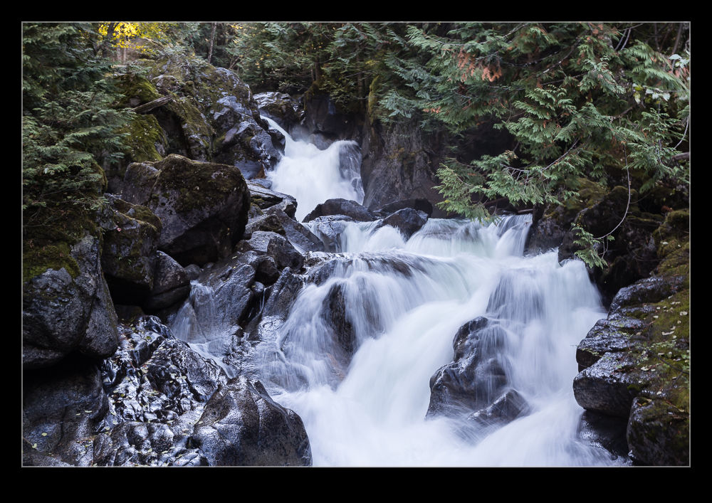
 Steps take you up to nearer the top of the falls where you can watch the water crashing down over the rocks. All of this is just a few steps from the parking lot. It is very impressive (and rather popular) so definitely worth the time. We came away wondering how easily we could have bypassed this location and what we would have missed if we had done so.
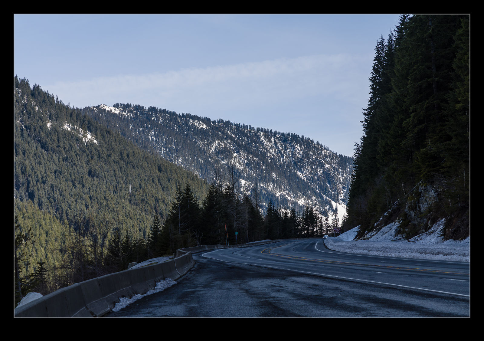
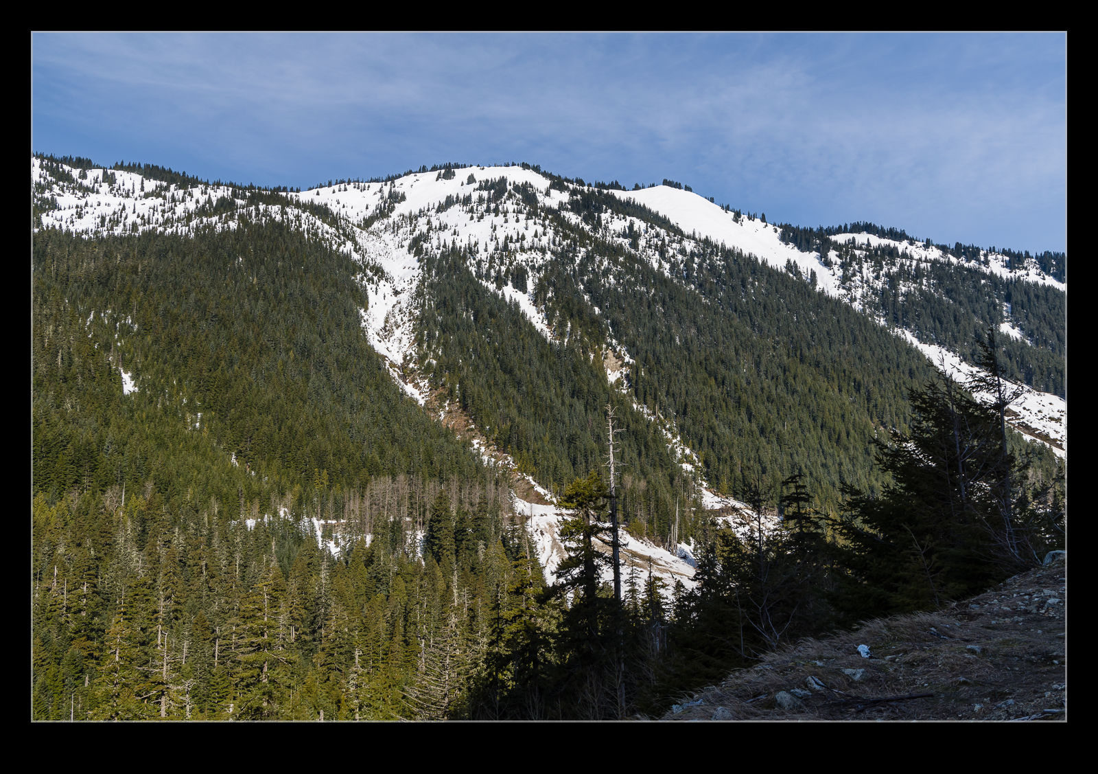
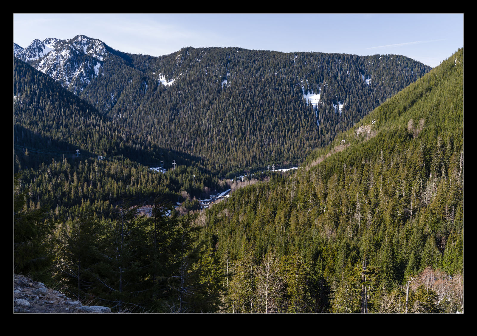
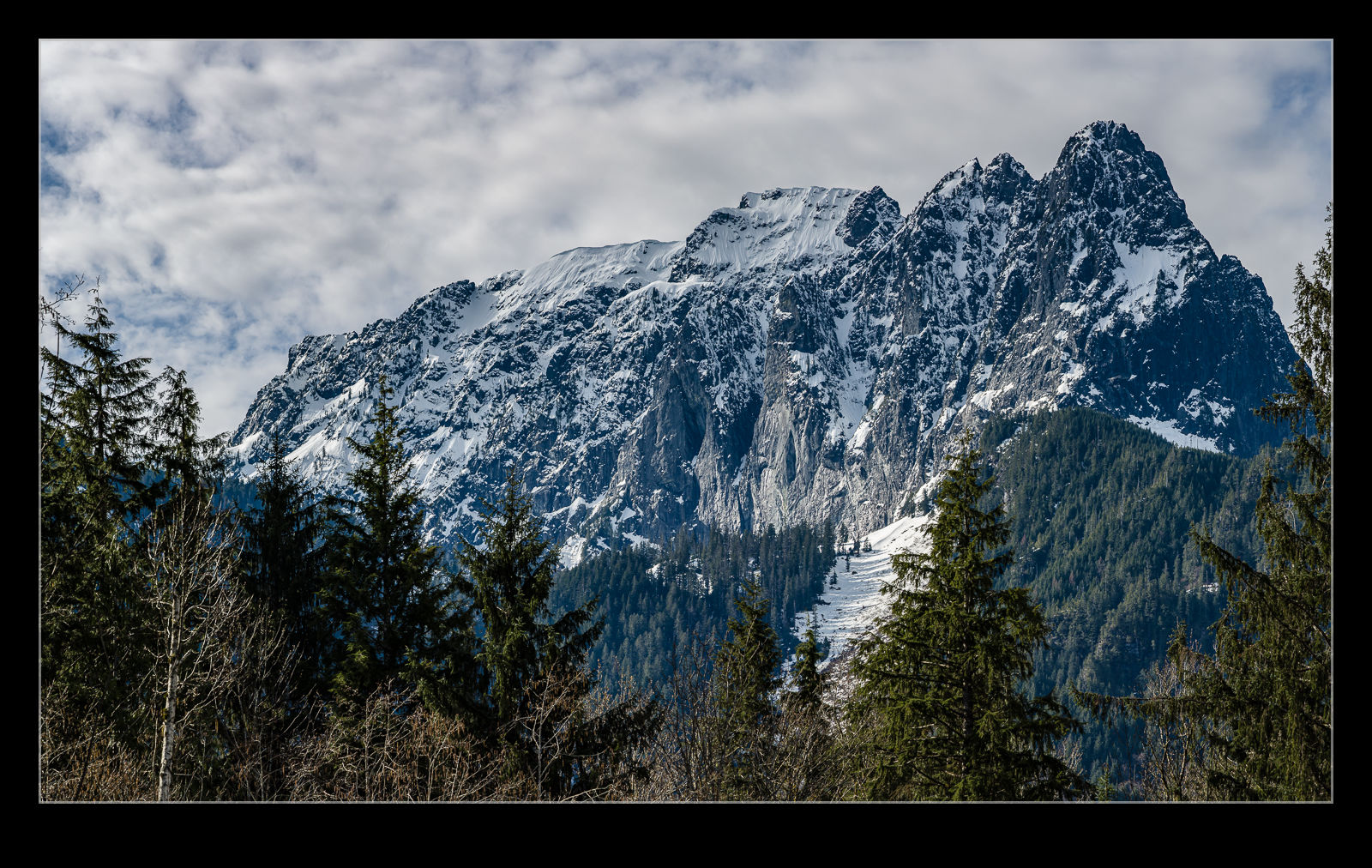 My return journey from Chelan brought me over Stevens Pass on a sunny day. I had a schedule to get back for another meeting so wasn’t able to loiter too much but I still managed to take a few minutes out to stop and grab a couple of shots. There aren’t many places to stop going over Stevens Pass but, coming down from the summit heading west, there is a pull out and so I made my first use of that. I also stopped coming in to Index to grab a snack from the coffee hut there which has a nice view of Mount Index.