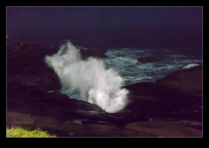
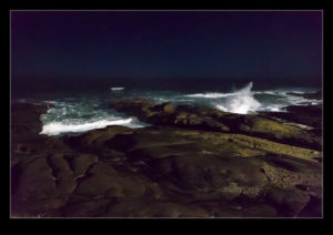
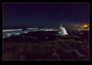
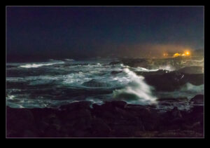
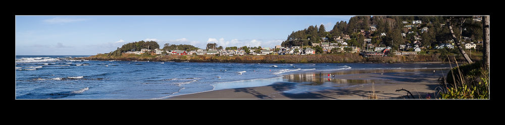
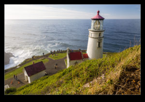
After dinner one night in Yachats, I decided to go out and see what I could make of the waves crashing on the shore at night. A number of lights were trained on the shoreline from the local properties so it wasn’t too dark out there. Even so, it certainly wasn’t very light. Time to test the low light capabilities of the cameras. The fact I was going to get slow shutter speeds didn’t bother me particularly as I was interested to see the effects that I could get showing the motion of the waves.
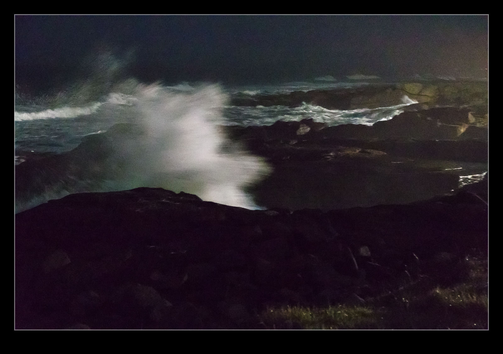 Light levels were indeed better than I had anticipated and I was able to get a lot of shots that came out okay. There was a good element of luck involved too. Waves are horribly unpredictable. If you see something good, you can almost guarantee it won’t do it again and, even if it does, it will be ages before the next set of waves comes in and, even then, the big wave will break differently. Also, some of the shapes they make turn out to look good in the shot and others are just indistinct messes. Nothing to do but hang around for a long time and try and lot of different shots and see which ones work. This randomness is a little frustrating as you feel you should be able to do something to improve but, in this case, it is a case of being there.