Tag Archives: view

Lunch At Newcastle Golf Club

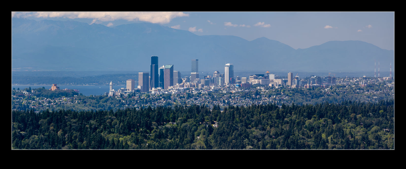
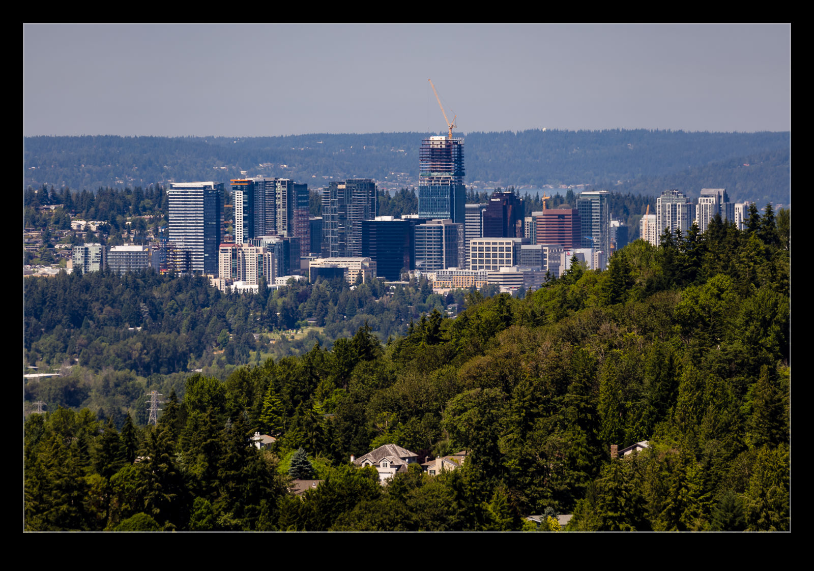
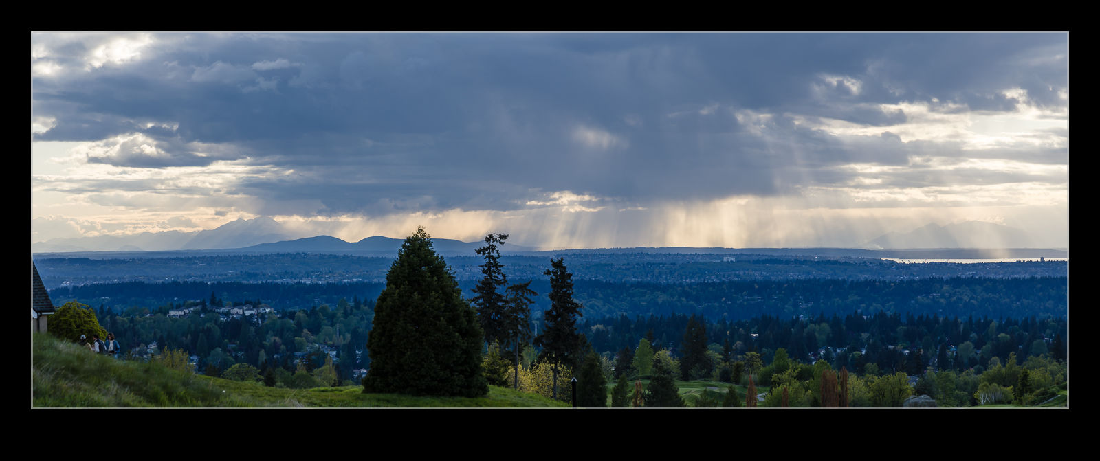
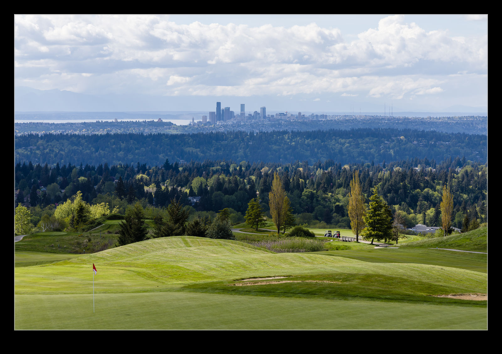
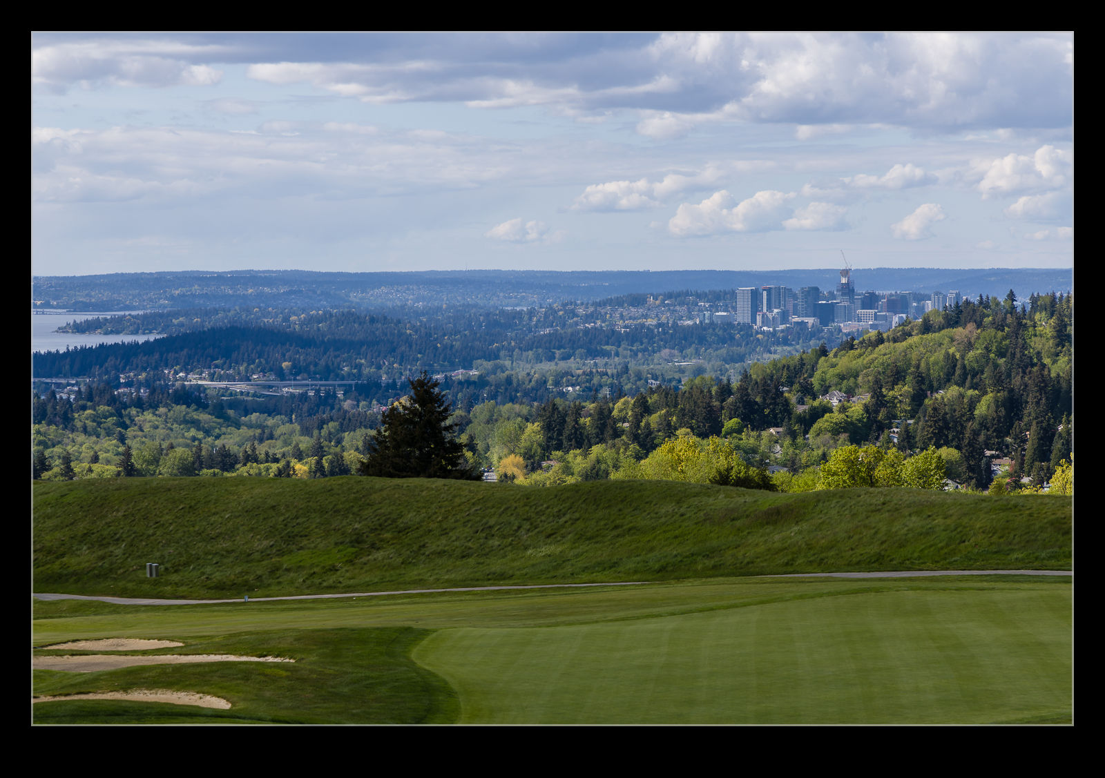
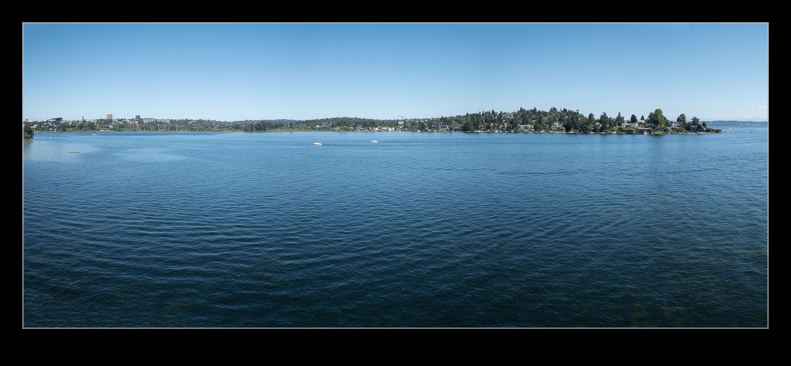
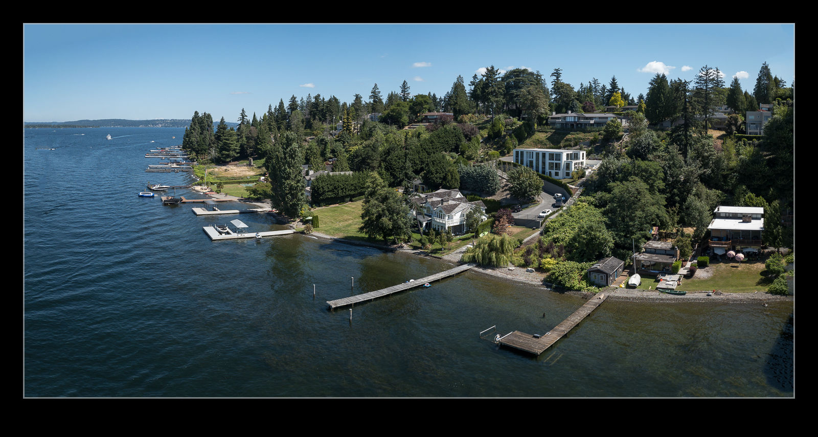
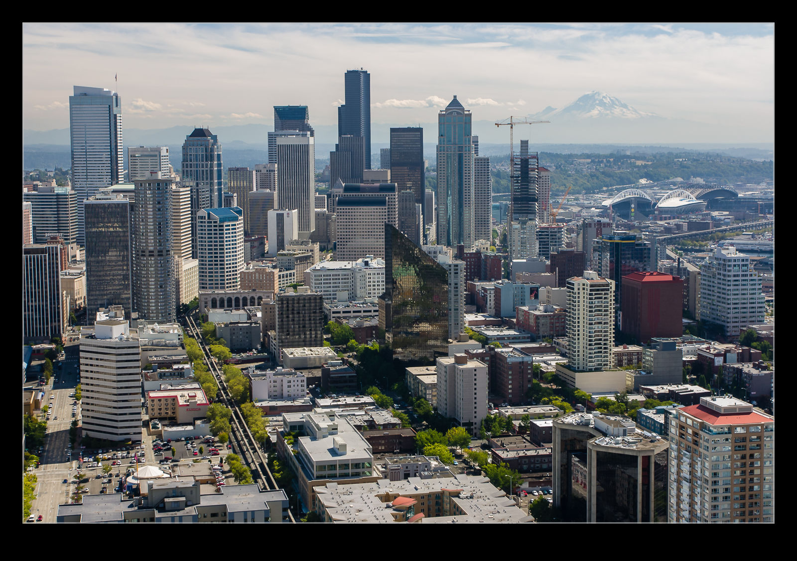
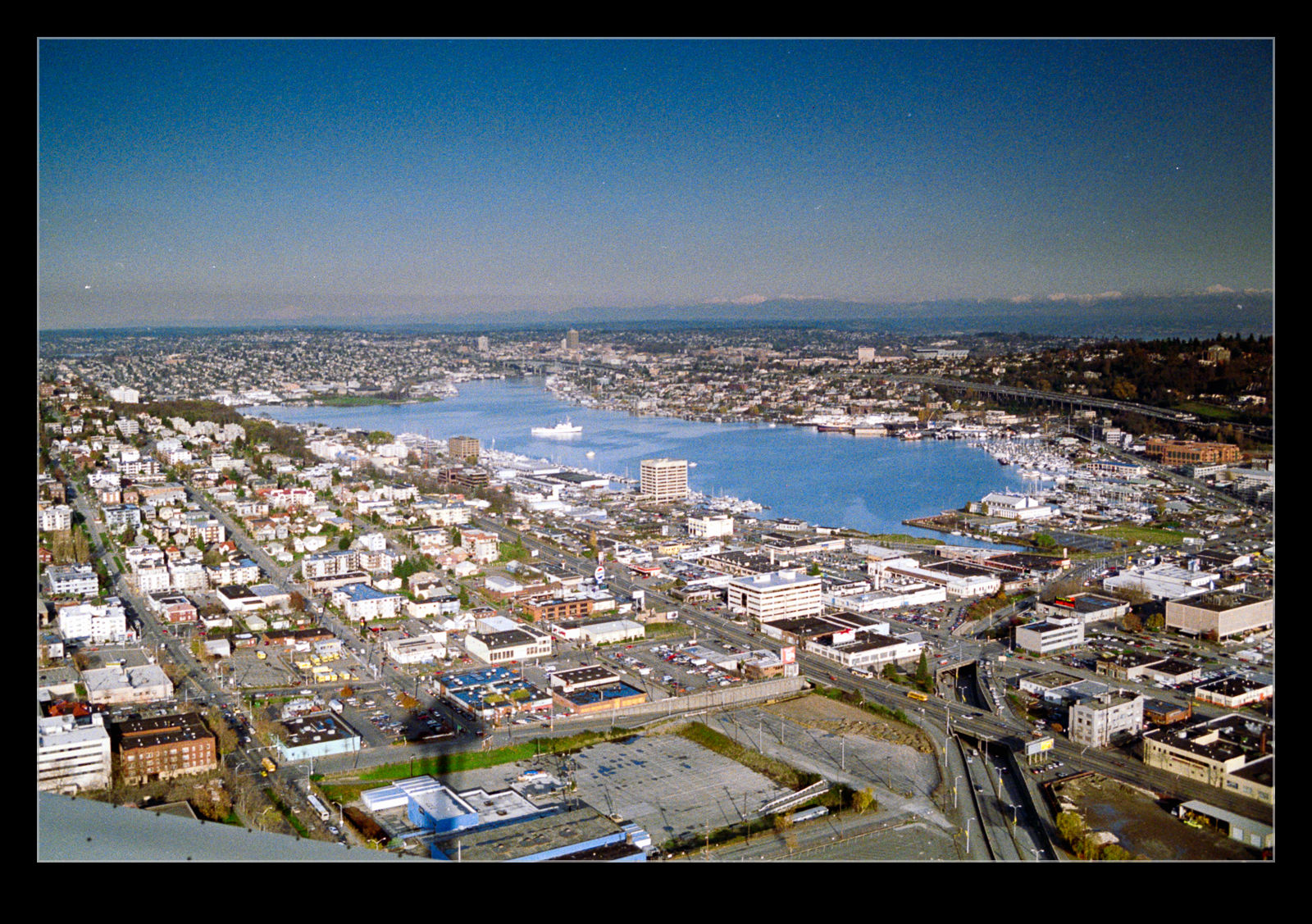
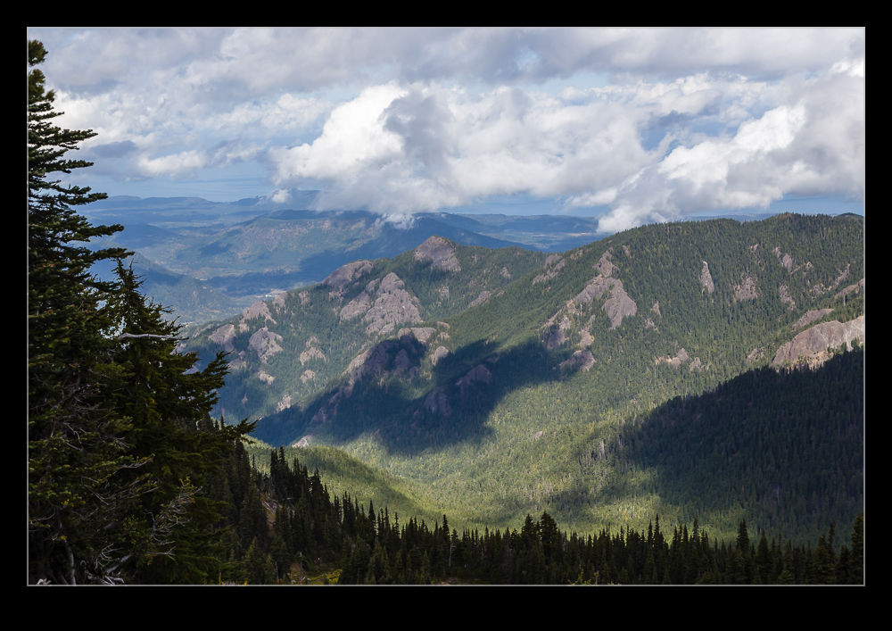
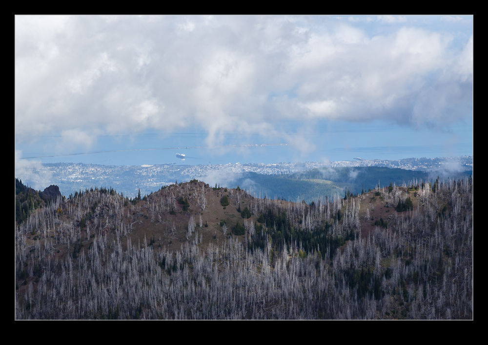
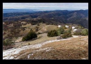
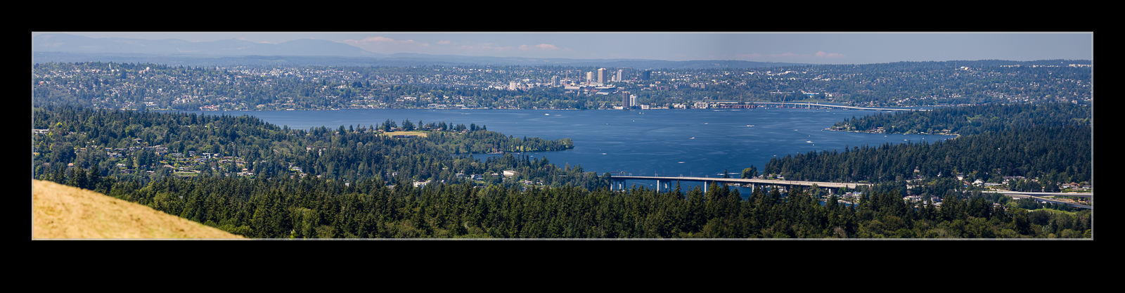
A work event at Newcastle Golf Club that I posted about previously introduced me to this location.  Since it has such great views over the area, it seemed like a good spot to have lunch when mum was visiting.  I also took along the camera so, after we had eaten, I could use the longer lens to get some shots of the area.  I also shot a few panos to see how they would work out and how bad the heat haze might prove to be.  Things came out better than I had expected.  I did also shoot a bunch of identical shots to use the statistic function in Photoshop to try and remove heat distortion but, to be honest, the original distortion was not that bad and the edited shots weren’t any better.
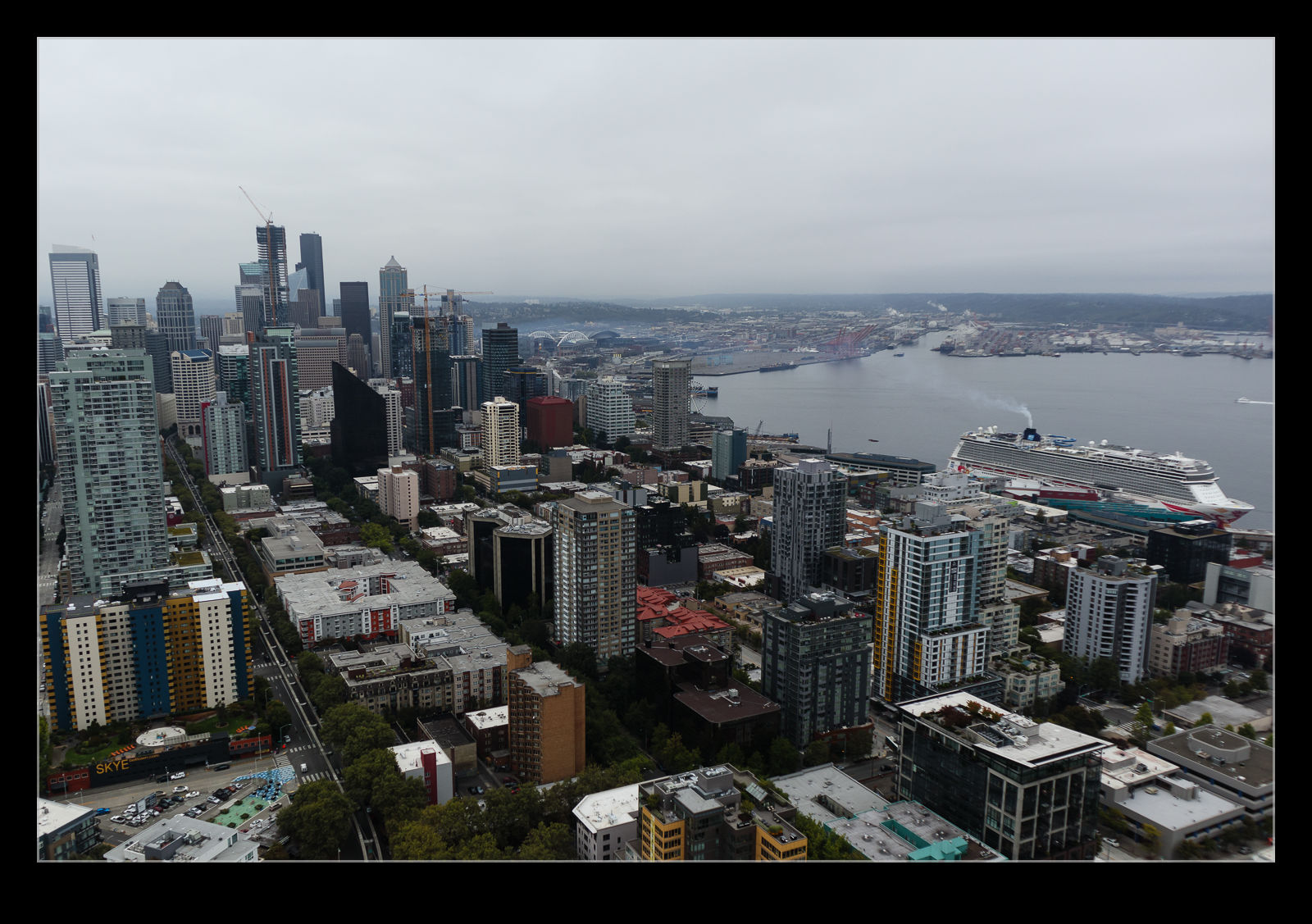
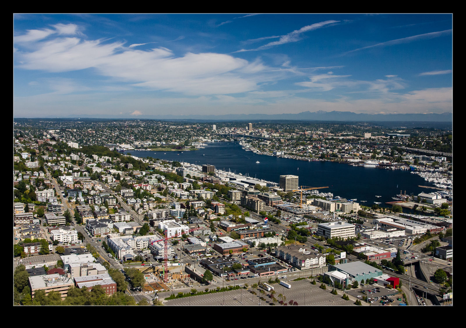
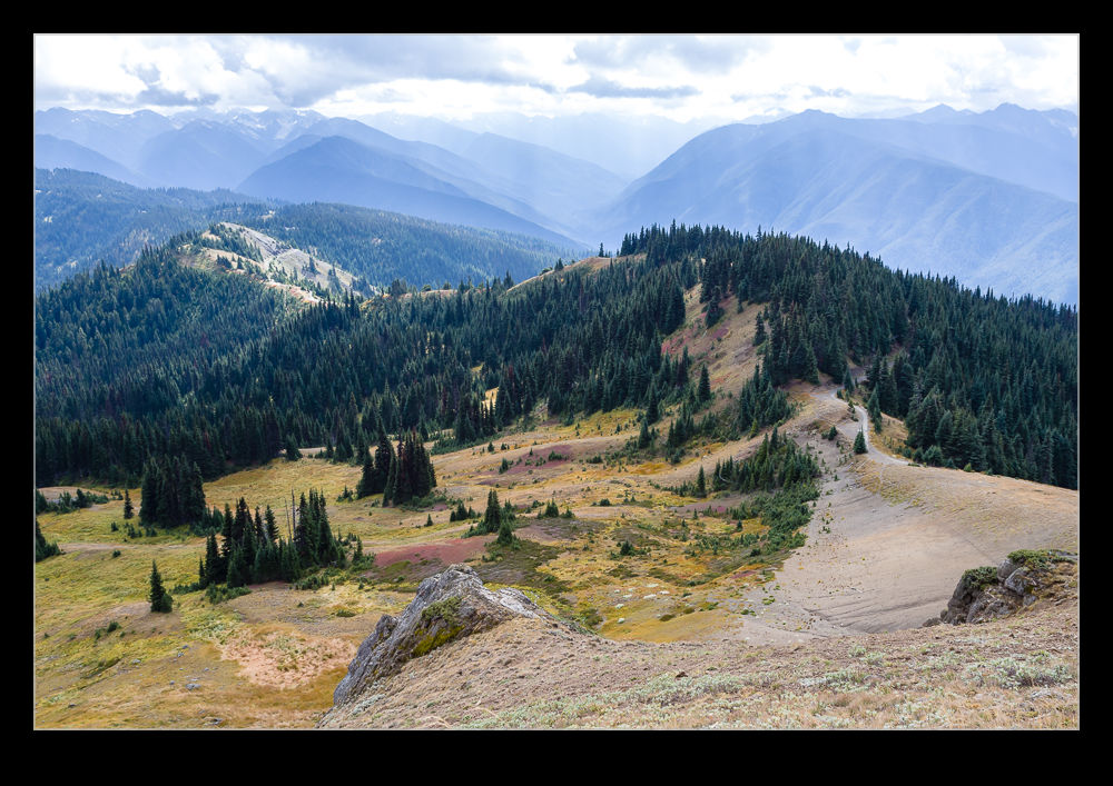
Newcastle Has A Great View!

We had a work team event in Newcastle at the golf club.  We were playing on their little putting course so not a great demonstration of golfing skills but the location was great.  I had heard about the place from a number of people but had never been there before.  It is located on top of the hills overlooking Lake Washington and the view is very impressive.  You can see down to Lake Washington and on to Seattle and Puget Sound.  Quite a cool spot to spend some time relaxing.

View Across Lake Washington from the Bridge

The SR520 bridge across Lake Washington provides some great views of the lake and the shoreline around it.  The nice thing about riding my bike across the bridge’s cycle trail is that it means I can stop and take some photos – even if they are only with my phone.  The headland leading in to the Montlake Cut seems like a great place to live when it is a warm and sunny day in Seattle.

The other end of the bridge is the location of some pretty impressive houses.  It is an area that is popular with many of the tech moguls that make Seattle home.  I figured it would be wrong not to take a moment to have a look at the nice houses there.  Bear in mind that these houses, while very nice and next to the lake are also right next to a major highway!

How Has Seattle Changed?

I have taken a lot of photos of Seattle since we moved here.  The city has a lot of development which shows itself clearly in both the downtown area and the South Lake Union area.  The downtown core is not massively different but the spread out from the center is noticeable, as is the change in stadiums.  My first visit to Seattle was in 1992.  Things were very different then.  I recently took a look at some photos I scanned from that trip including a view from the top of the Space Needle.  I also have some shots from the mid 2000s in the mix.

The following shots are combinations of shots from 92 and current shots along with some taken from one of our trips here in around 2005 when I had a work visit that we extended to include some time in the city.  The city already had some big towers in 92 but there has been a lot of development since then.  South Lake Union is a different story.  During my first visit, there was not a lot going on in the area.  Now things are heavily in the area with Amazon having led the investment but the Gates Foundation also having a big site.  Things have really changed a lot!

What a Great View of the Sound!

The house at Bloedel Reserve sits up on the hill with the grounds landscaped to provide an unobstructed view down to the sound below.  You can imagine the tranquility of sitting on the terrace in the evening, sipping a cocktail and looking out at the water.  Unfortunately, at the time of our visit, a large barge was moored a short distance out in the water.  I’m sure the view is beautiful but, with a barge plonked in the middle of things, somehow the delightful nature of the scene is a little compromised!

Sutro Heights

A weekend day had us over in San Francisco having a mooch around some places we haven’t visited before.  I had been reading something online about Sutro Heights and wanted to check the place out.  This is an overlook up on the cliffs that had been the home of a guy called (unsurprisingly) Sutro.  He had built a large house on this land and added gardens around it that included statues and artworks that were available for people to visit.

The house is long demolished but the gardens have become a city park.  We stopped off to look around, enjoy the view and use the place as somewhere to have our lunch.  The view down to the beach below, while rather hazy when we were there, was still rather nice.  You could see plenty of people having fun down on the sands.  The gardens themselves were rather relaxing.  You could climb up onto the area where the house had once stood and try to imagine what it had been like.  A few signs included images of how things had been laid out.  Given how close we were to the Cliff House, the baths and the trails, it was a little surprising how few people were there.  However, it isn’t heavily signed so maybe it is easily missed.  If I hadn’t read about it, we would probably never have known either.

Climb to the Top of Hurricane Hill

B11I8118.jpgHurricane Ridge is a popular place to visit but go a bit further along and you come to the trailhead for the climb to Hurricane Hill.  We felt up for a bit of hiking.  The hike is not terribly long but it has two elements to consider.  One is a fair bit of climbing with some reasonably steep grades.  The other is that you are quite high so the air is noticeably thinner.  That is a great excuse for taking things at a steady pace.  It isn’t me, it is the altitude!

B11I8122.jpgIt certainly is a popular trail.  Plenty of people passed us as we were going up and coming back down.  The views as you climb get better and better.  Some wildlife shows up as well.  We saw a marmot at one point.  It only lives between certain elevations so this was the only place we were going to catch it.  Once you get to the top, you have a view down to the coast.  Port Angeles lay beneath us and you could see over to the islands in the distance although the view was a little obscured by the haze.  The trip back down was okay but walking downhill is something I don’t enjoy if it is steep.  Climbing may be tiring but I find it less hard on the knees.  This wasn’t too bad though.  You stop less on the way back down since you have seen all of the views on the way up when you were more than happy to pause (only for the photo – not tired at all).

B11I8138.jpg

My Timing on the Bridge Was Off

AE7I4326-HDR.jpgWhile reading some of the material at the Donner Memorial, I saw some pictures of a cool looking bridge.  A similar style to the Bixby Creek Bridge, this one was above Donner Lake.  It is on the old highway which is now bypassed by the interstate.  We were heading off in a different direction but we were coming back to Truckee on another day for dinner so I decided to check this place out prior to that.  Since it would be early evening, the light should be in a good place too.

AE7I4336.jpgIt turns out I timed it just a fraction wrong.  The sun was low across the lake which did look very nice.  Unfortunately, the bridge was in the shadow of the surrounding hills so it was rather subdued compared the rest of the view.  A little earlier and it would have looked great.  Oh well, too late to change that.  Maybe if I am up that way again, I will plan a bit more carefully and see what I can get.

Lick Observatory

AU0E3511.jpgHead southeast from San Jose and the terrain heads sharply up. Mount Hamilton sits ahead of you and, if you want to take the 18 mile trip up the mountain, you will arrive at the Lick Observatory. Operated by the University of California, there are many different telescopes in use. Visitors are welcome to see two of the telescopes.

C59F7649.jpgAt one time, the top of the mountain was home to quite a community including a school for the children of the staff. However, as the observations are now able to be made and controlled remotely, there is no need for the science teams to live up on the mountain. They make trips up for initial testing of instruments when they can stay in dormitories. However, once things are up and running, they can head back down the mountain. Consequently, the residents are now the maintenance and engineering staff. This means there is a far smaller number of people up on the summit most of the time.

AU0E3505.jpgThe view from the summit is very cool. We had a bit of haze in the air which limited things a little but the view down to San Jose and off to the Bay is impressive. It would have been nice to have been up there a day or so before when the skies were very clear. However, they also get some snow up there so it might have been a trickier drive up.

Ullswater

C59F2350-Pano.jpgUllswater is gorgeous. Not a lot more to say to be honest. A large lake surrounded by impressive hills. Add a sunny day and what more could you want. This place is lovely and, since it is not on a main thoroughfare, once you are out of the main tourist season, it is not terribly busy. What more could you ask for?

C59F2364.jpg C59F2363.jpg