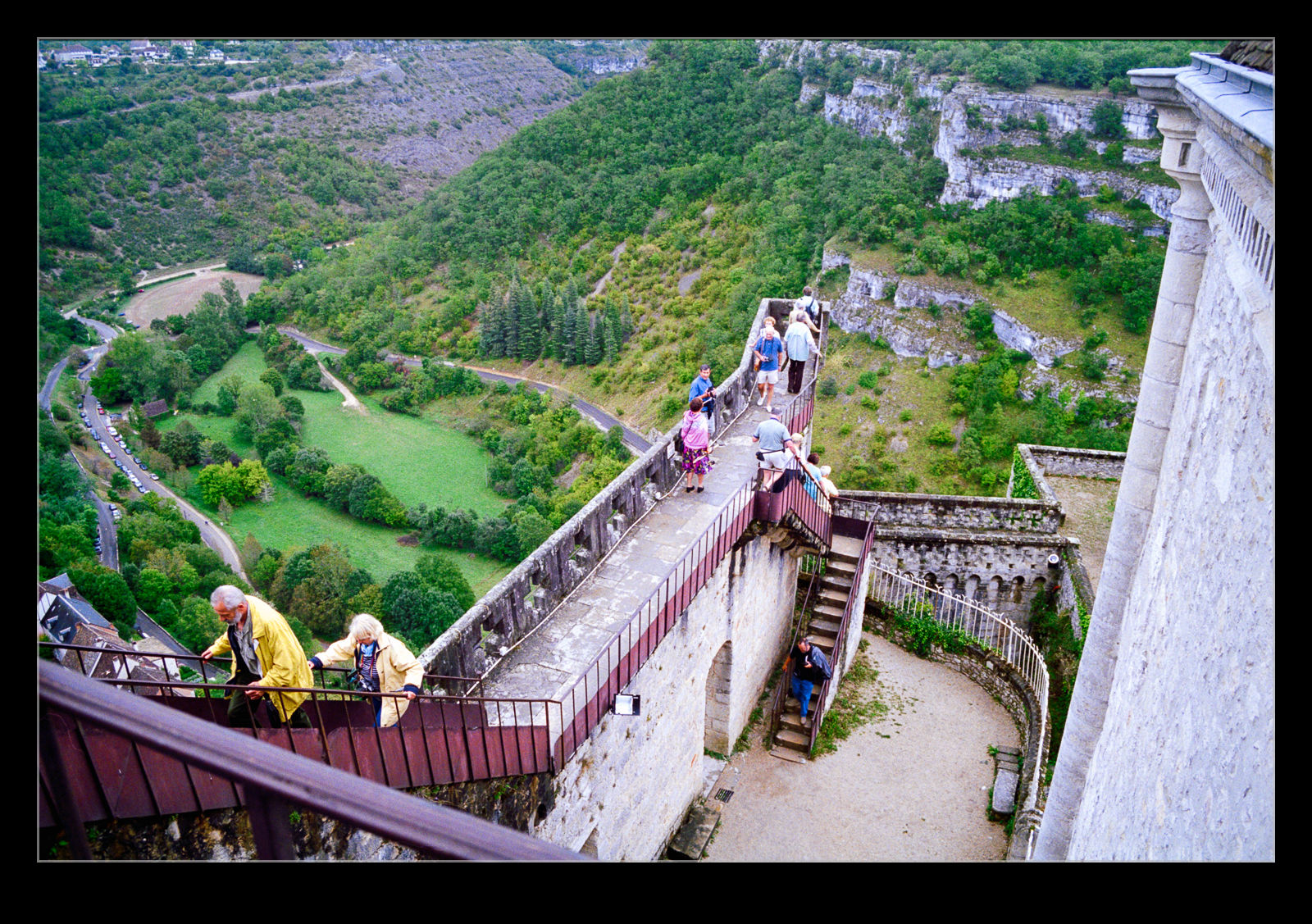
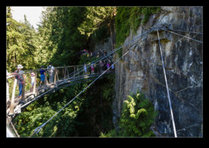
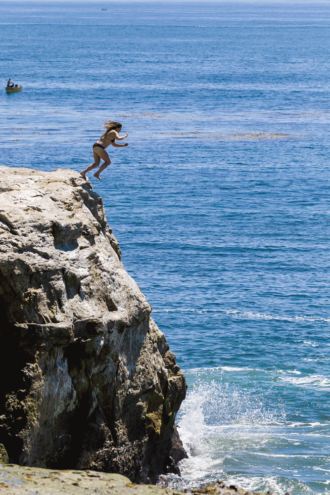
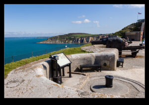
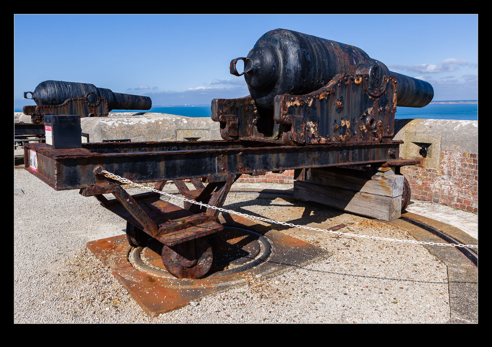
 I posted some shots of the Needles in this post. The rocky outcrops are not the only thing of interest, however. The strategic location of the cliffs and the importance of some of the military facilities in the waters approached via the Needles mean a fort was constructed overlooking the entry to the Solent during the Victorian era. Large guns were mounted on the top of the cliffs to deal with any enemy that might come.
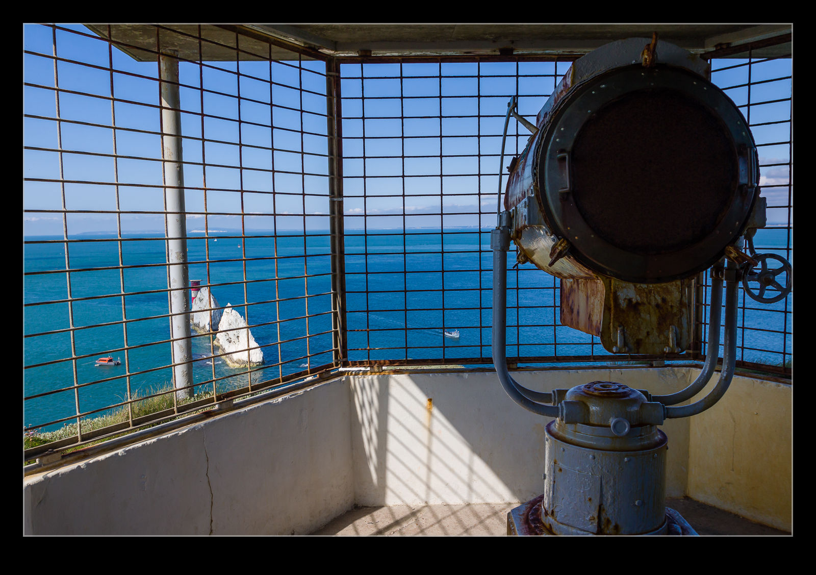 In the end, no enemy came. However, when the First World War came, there was again a need to protect the approaches. The existing location was not suitable for the size of guns then in use so a new battery was built a little higher up on the cliffs. As with the first one, it stood guard but never engaged any enemy.
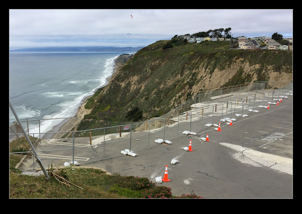
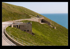
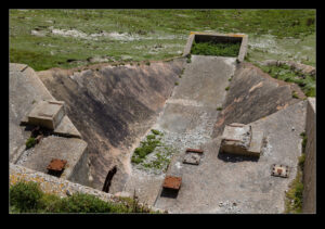
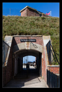
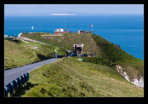
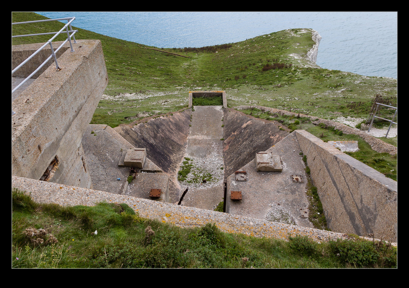
 In the middle of the 20th century, the location again found a use. Britain had a space launcher development program with the rockets being developed at Saunders Roe in nearby East Cowes. The location on the cliff tops, a long way from most population areas, with nothing but sea below and no overlooking locations for prying eyes meant it was an ideal location for secret programs. A couple of test stands were built for the rockets to be mounted for testing purposes.
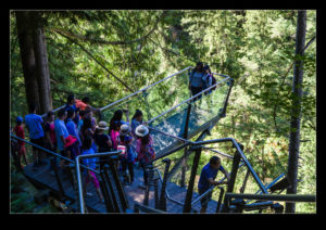
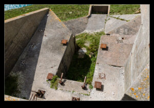
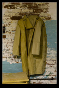
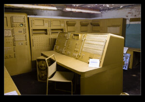
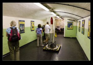
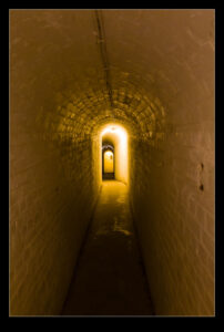
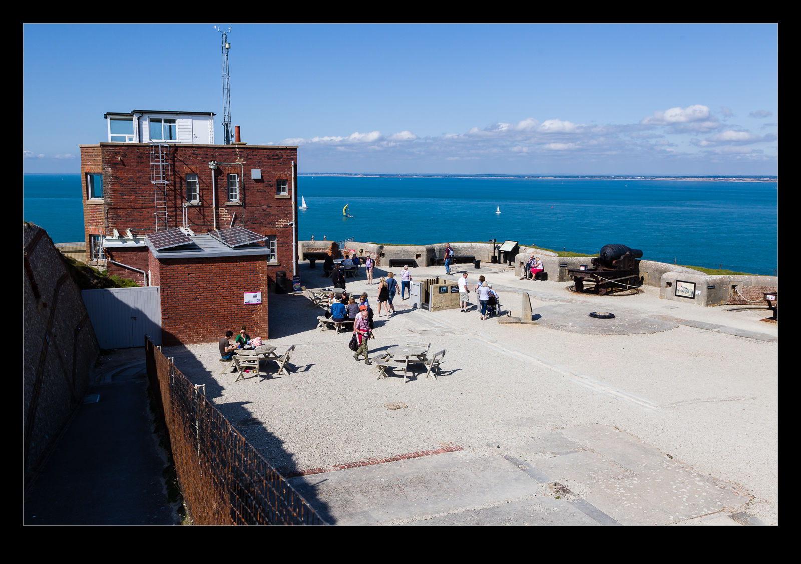
 Now everything is decommissioned and is open for the public to view. The location on top of the cliffs is very cool anyway but, if you are an engineer type like me, the test facilities are even better. The bunkers and control rooms are worth a look and one of them even has the equipment recreated in cardboard. That might sound strange but it has been done well and even includes a cardboard coat hanging up on the wall. It is a very innovative approach to reproducing what had been taken apart long ago.
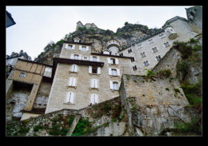
 Once we had crossed the border into Canada, we traveled for a while before arriving at Radium Springs. Here we took a turn into the Kootenay National Park which also provides the main road up towards Banff. As we made the turn and took the entrance into the park, I was convinced that something was wrong. We were driving right at a cliff. Sure, there appeared to be a crack in the cliff but that surely couldn’t be the road. However, that is exactly what it was. The road ran through this tiny gap and into the valley beyond. It was quite a stunning way to enter a park!