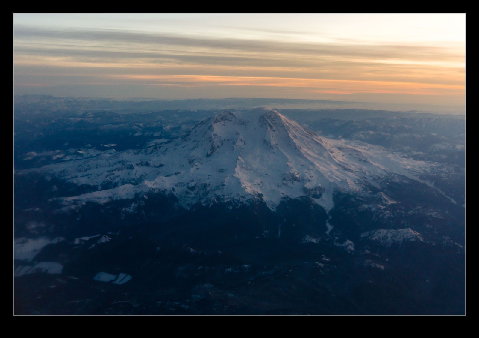
 An early morning flight was needed for a trip that I needed to take for work, and it was taking me south. The departure time was before the sun was due up, but I hoped that I might get a view of Mt Rainier (also known as Tahoma) as we headed south so I had selected a seat on the left side of the plane. The plan was a good one even if the quality of the window of the jet was not. I have not seen such a scruffy window on an airliner in ages! Some random repositioning of the lens to try different parts of the window resulted in some reasonable shots. Nothing special but nice to get when you have to be up early anyway.
Tag Archives: volcano
Sunset on Mt Baker
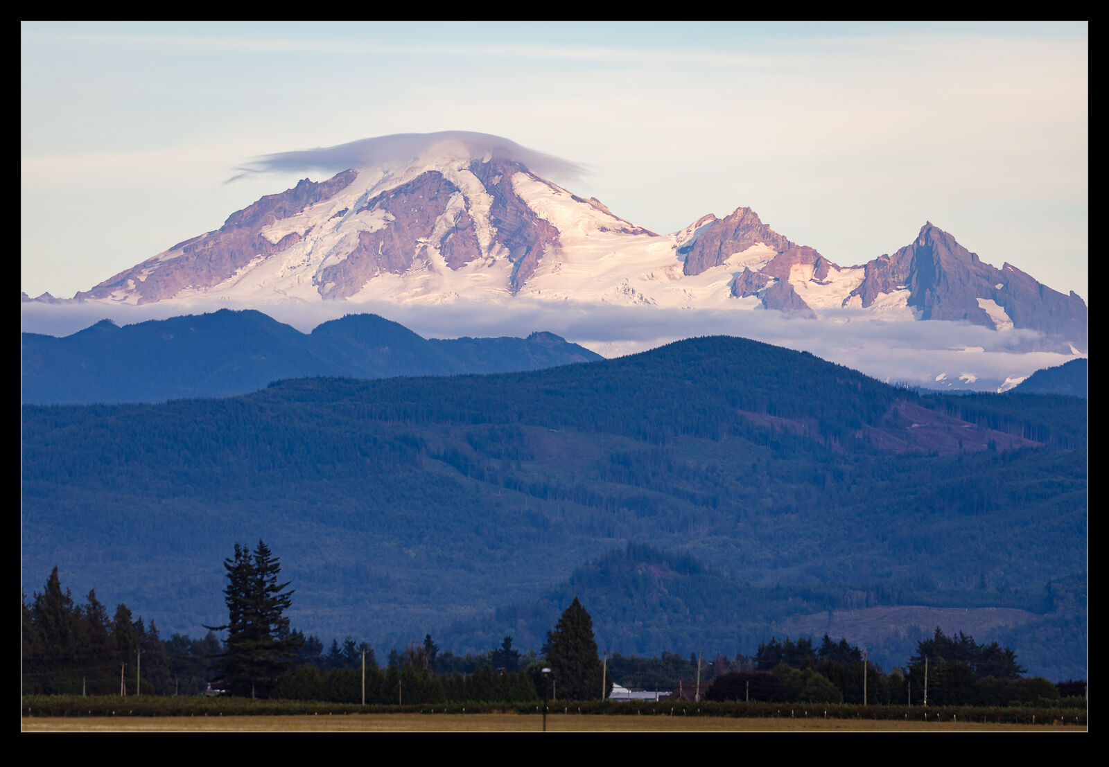
I made a quick excursion across the border to Abbotsford for the air show. I went for the evening show on the Friday rather than the day show. The conditions were really nice for most of the show with the cloud rolling in only near the end of the proceedings. Mt Baker is in the background across the border and provides a nice backdrop for some of the flying. As the light got nicer, I wasn’t going to miss out on a couple of shots of the mountain with its cloud formations above the summit.
Mt Rainier Catches the Evening Light
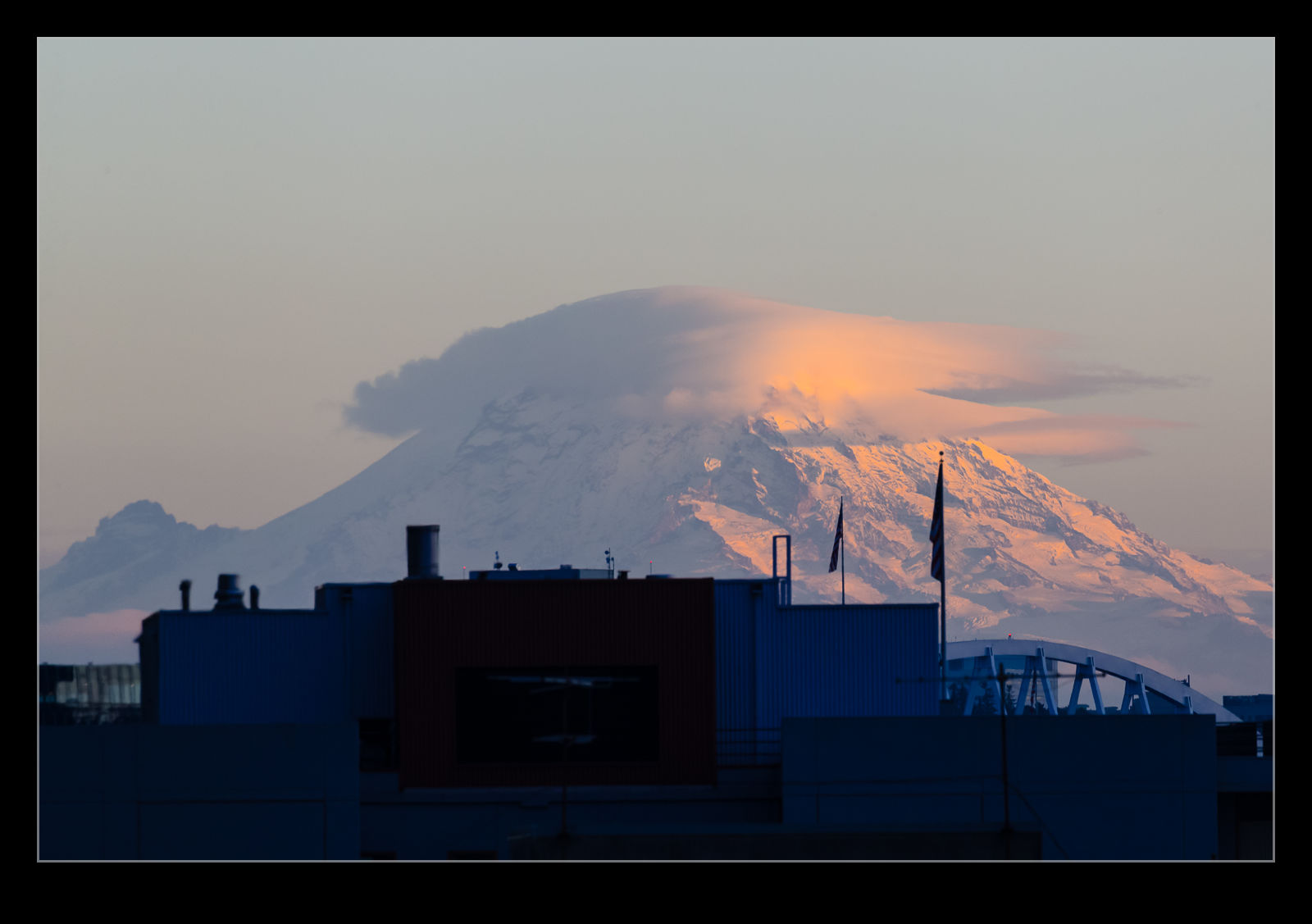
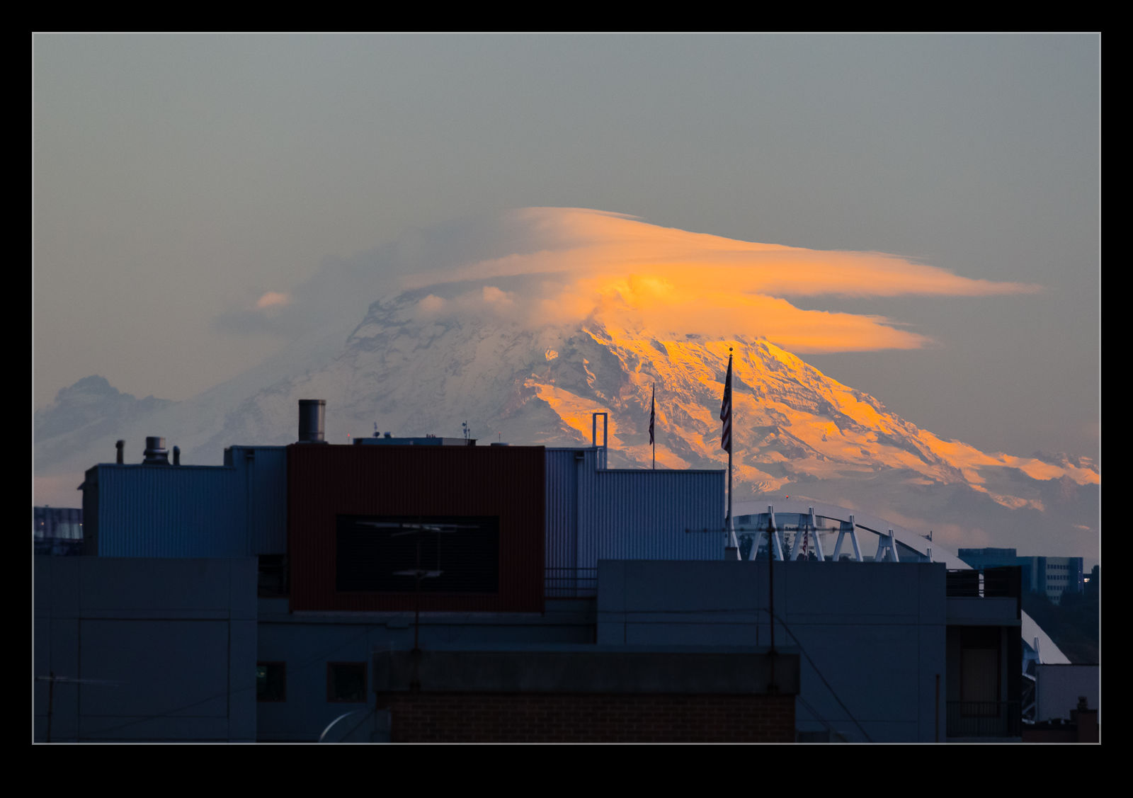 Our hotel in Seattle had a roof deck which we sat out on prior to going out to dinner. Looking south across the city, you can see Mt Rainier. In the evening light, the mountain was glowing. It looked great and was accentuated by some cloud formations across the summit. Sadly, from this location, the bottom of the mountain is obscured by buildings but it was too good a site to let that stop me taking some photos.
Mt Adams in the Distance
 The Cascades range has a few volcanos. One of the less frequently discussed is Mt Adams. I know of it as a result of something work related but have never thought much about it or where it was. However, from Mt St Helens, you have a good view of Mt Adams off to the east. I wasn’t planning on heading that way but it was hard to miss it from up there.
Mt St Helens
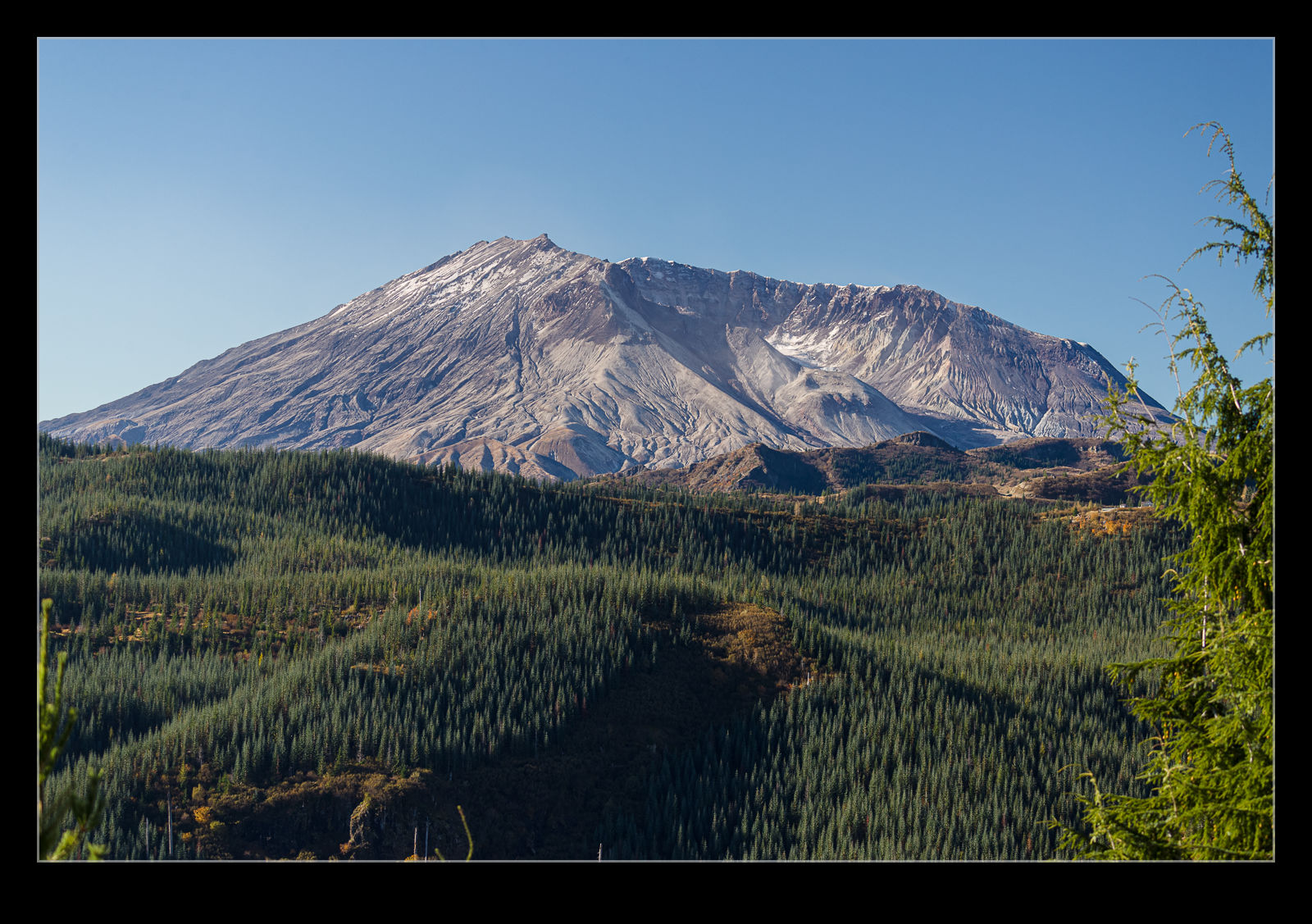 Long before we moved to the Pacific Northwest or even visited the area, there was one mountain in the area that I knew all about. Mt St Helens exploded in 1980 killing over 50 people and devastating a wide area. The idea that the side of a mountain would just slide away and the exposed volcanic activity would blow out with the force of tens of megatons of explosive was amazing to me then and it still is. I had been thinking of taking a visit for a long time.
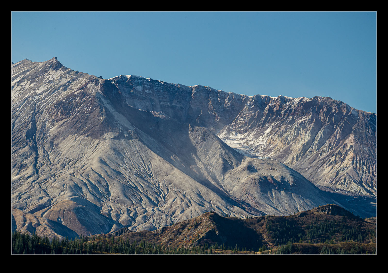 The lack of a reason for time off this year means I have built up a balance of PTO that the company wants me to use so I booked a random day off in the middle of the week and, with nothing else planned, I thought a road trip was worthwhile. It is a little over three hours south of us to get to the mountain so I headed off earlier with a good forecast. I was a little skeptical as I drove south in the rain and low cloud but weather changes quickly here and altitude can make things change fast.
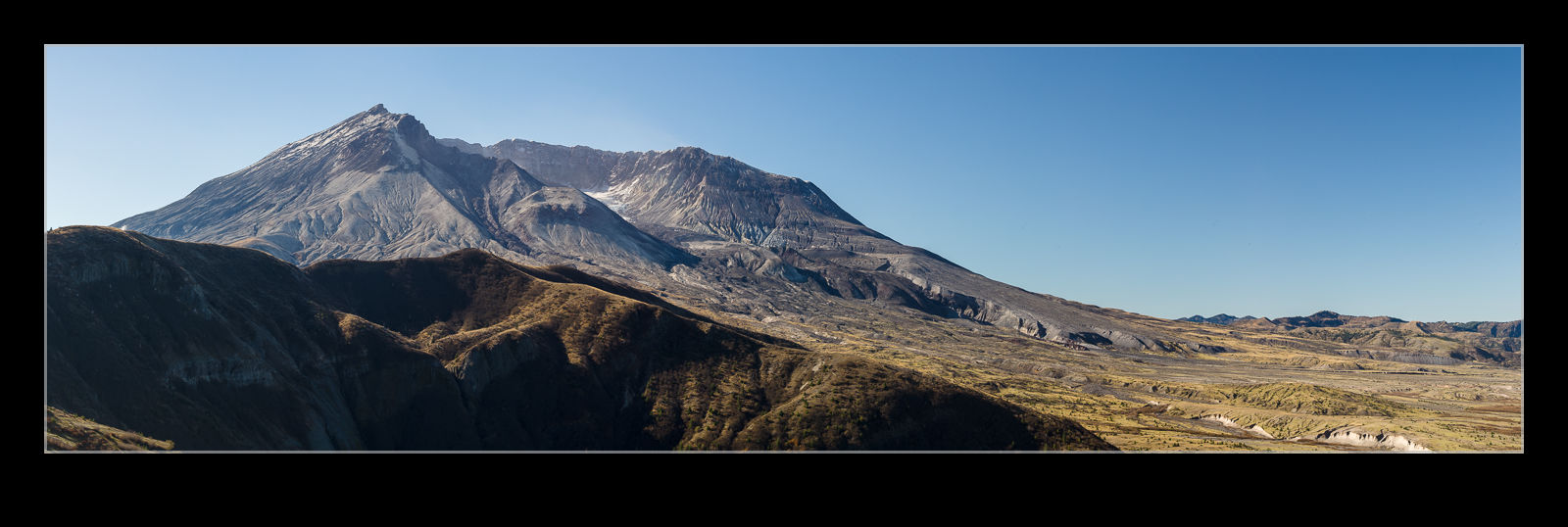 The road to Windy Ridge Viewpoint closes in the winter but it was still mild enough and there was almost no trouble on the road. The deep shadows combined with the sun breaking through the trees made for some awkward conditions to drive up while watching out for the sudden deteriorations in the surface which appeared without warning. The majority of the road surface is perfect but every once in the road, a little chasm will appear! Also, while the air temps were in the 50s, the shade meant there was the occasional icy patch on the road which gets your attention on steep sections with big drop offs!
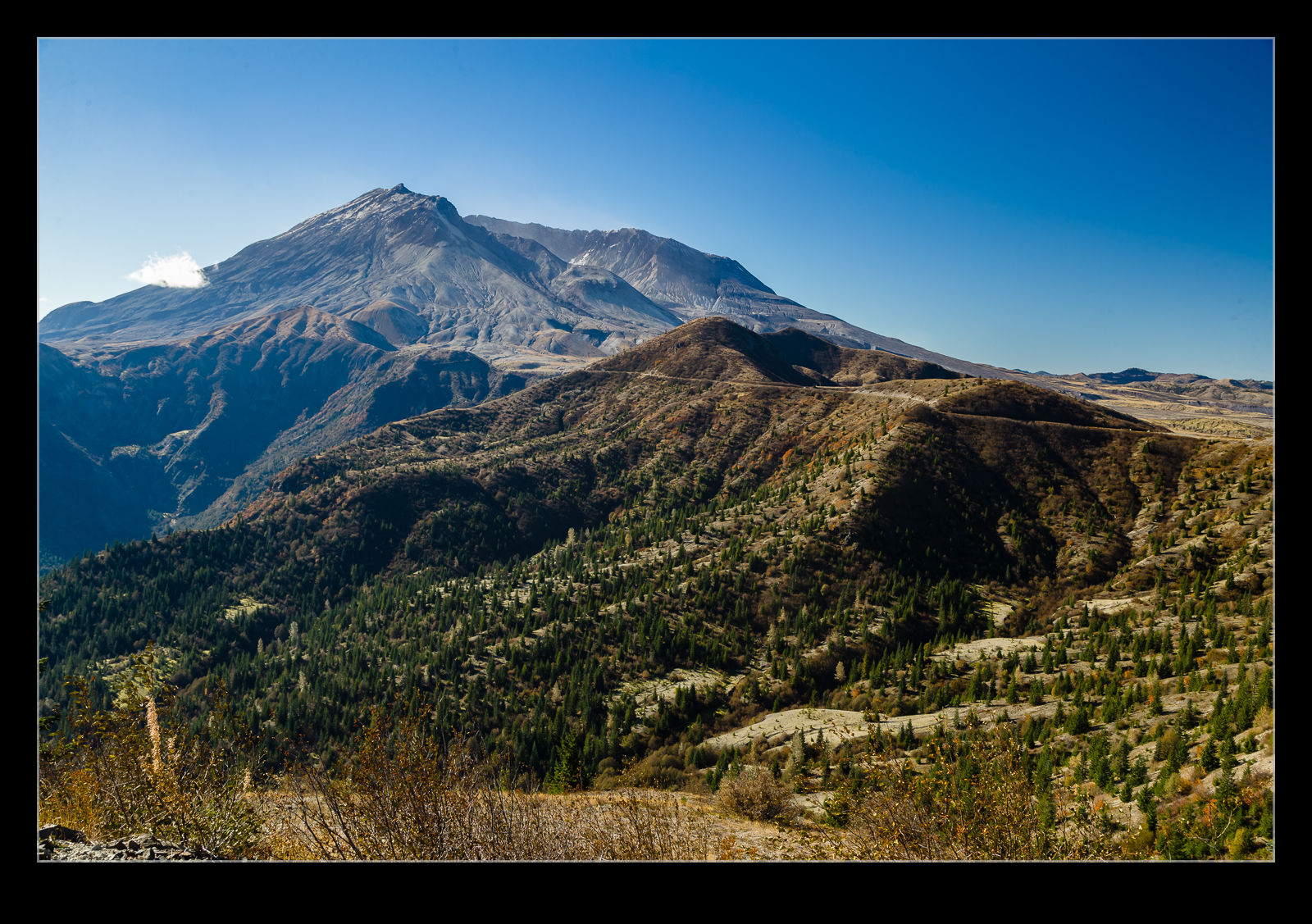 As I got closer to my target, I started coming around corners which provided a view to the mountain. It is a dominant shape even without the 1,600’ or so that got blown off it forty years ago. This was not an ideal time to visit for photography purposes because the sun is so far south so it is a little backlit but the good viewpoints are in the north and, even if I had been there for sunrise, it would still have been a less than ideal sun angle. That would have required an overnight there which I didn’t feel was a great plan.
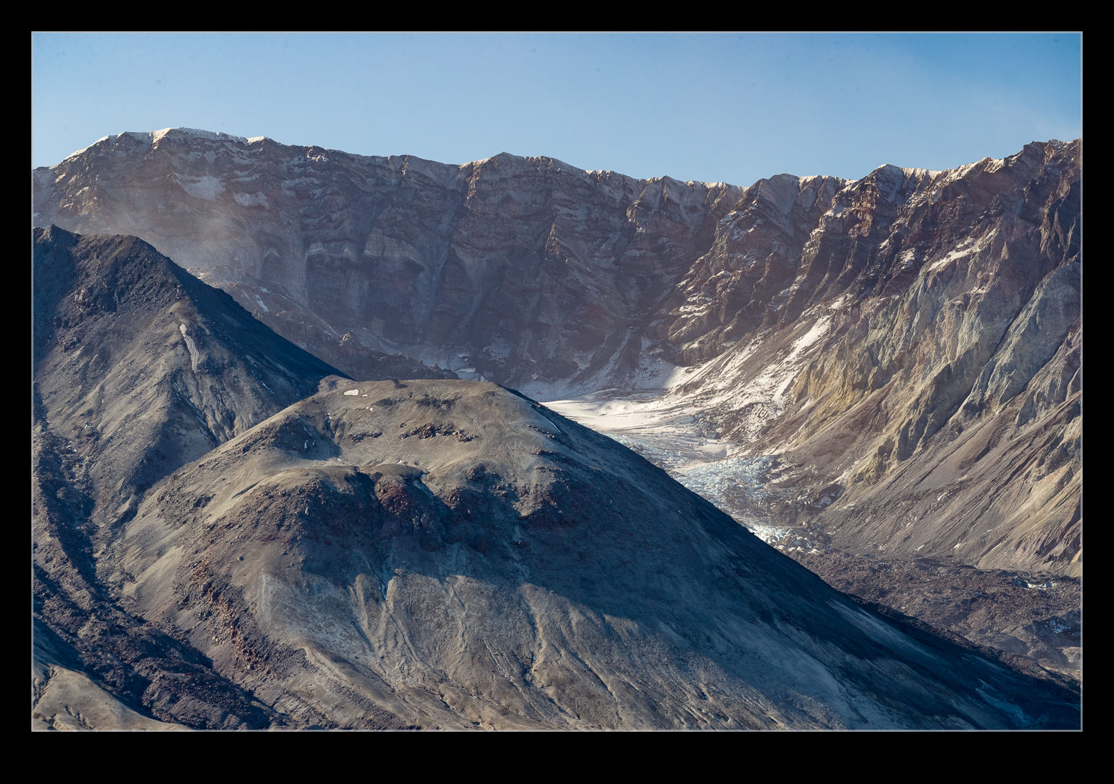 When I got to Windy Ridge, I was all alone. There were two vehicle parked up near the trailhead but the occupants were obviously off up the trail. It was just me. Consequently, it felt super tranquil. I read up on the disaster and what happened to the area and the people. I spent a lot of time just staring at the mountain. The hollowed out side of the mountain gives you an idea of just what got blown out. There are new bulges in the surface as magma pushes up from underneath which serves to remind you of just what you are looking at. This thing has blown on multiple occasions and will again at some point. Right now it looks benign. The eruption from 1980 continued on and off into the mid 2000s. It is quiet for now but it will cause trouble again at some point. The desolation of the area, even after 40 years, is a stark reminder of the power of a volcano. Some trees have. Grown up but most of the landscape is still barren. Everything was scoured clear by the high speed and burning heat of the blasts. Some areas were sheltered by geography and they are were things have grown back first but they are in the minority. Quite a place. One day I shall go back and do the hike to the summit.
Clouds Over Rainier
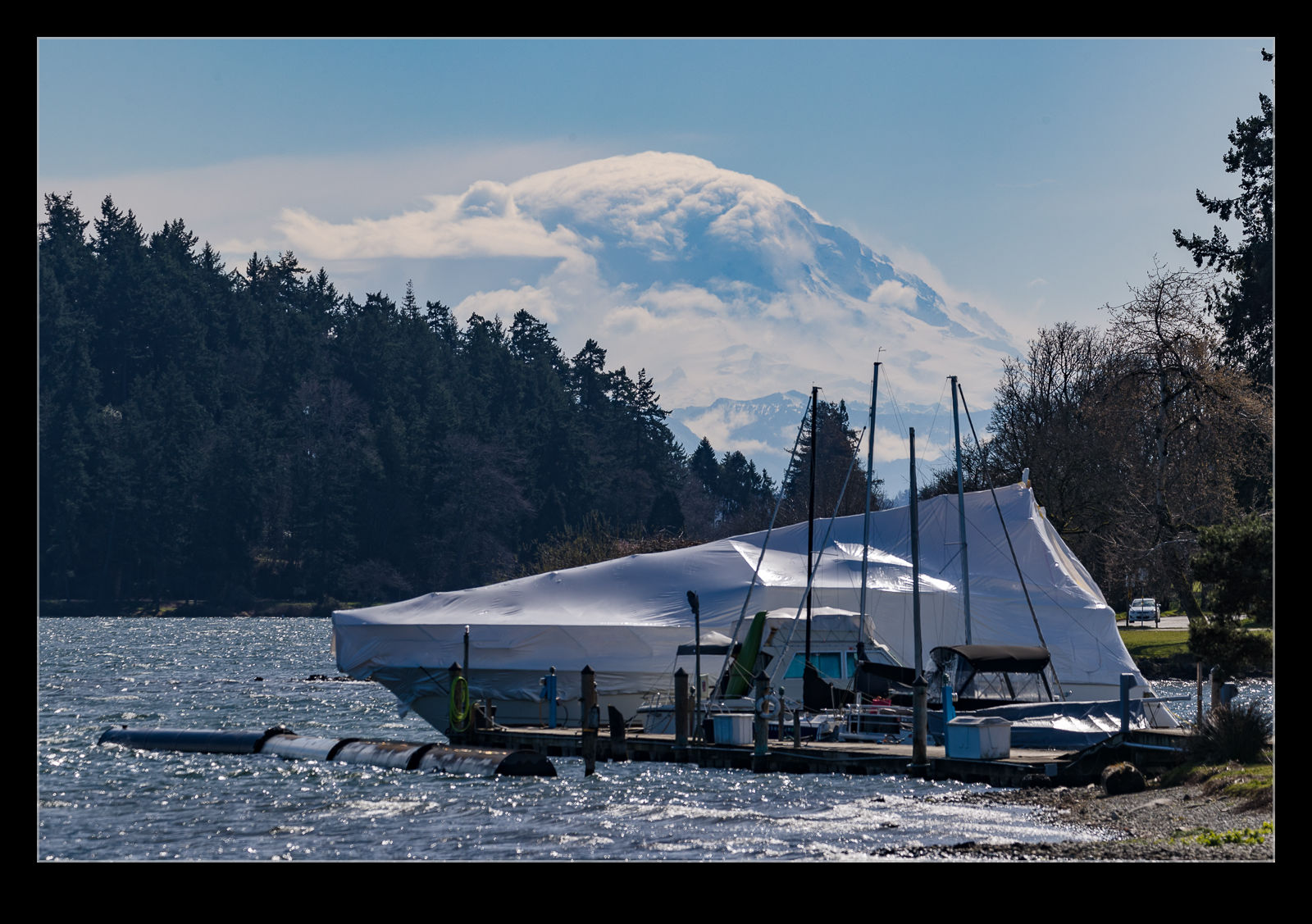 If you live in the Seattle to Tacoma area, you get familiar with the phrase “the mountain is out” or “in”. This refers to Mt Rainier which can be shrouded in cloud or out in the sun. As a 14,000’ mountain, it is the most obvious landmark around here. It also drives its own weather systems so the clouds on the mountain are always worth a look. Not so long ago, I was quite taken by the cloud development over the mountain which was a bit different to what I am used to seeing. The boat in the front was not helpful but I wanted to get a shot of the mountain so went for it.
Mount Rainier Aerial Tour
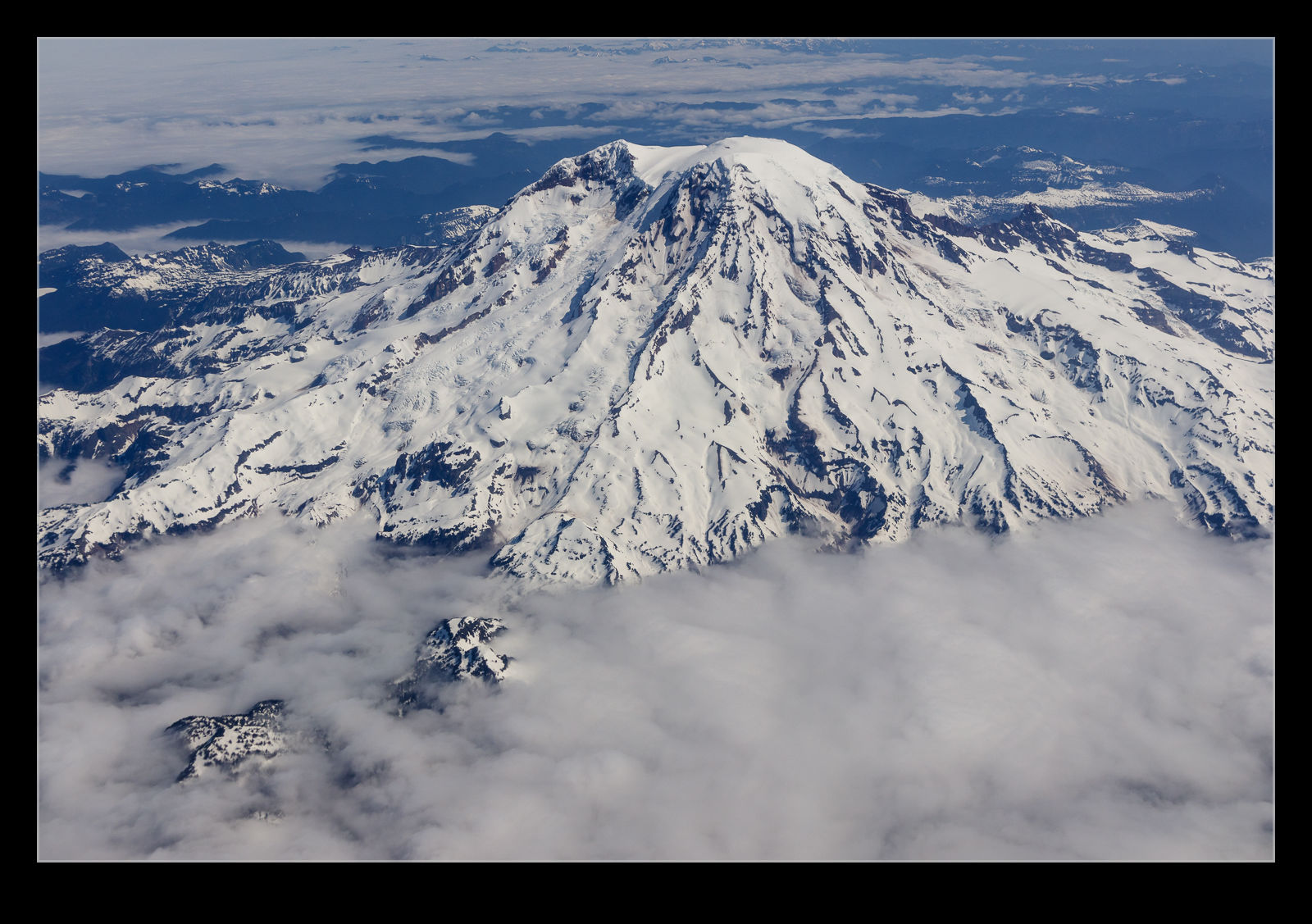
 Another trip and another flight out of SeaTac. I was sitting on the left side of the plane without having given any thought to what I might see en route. As it happened, we departed to the south and then, after a short time in the climb, we turned on course for our destination. It just so happened that our turn brought us around the south side of Mount Rainier. I was sitting on the side that happened to have a great view of the mountain as we turned.
 I was sitting down the back of the plane so, for a while, the wing was in the shot. I wasn’t sure whether to be annoyed by this or to have something to give some perspective to what I was shooting. Aerial photos of large landscapes usually lack a sense of scale and I doubt the wing altered that, but it was worth a try. The cloud banks that lay on the surrounding foothills are probably rather large, but they seem almost insignificant against the scale of the mountain. A lucky day to be heading the right way, sitting on the right side of the plane, turning where we did and then not having the whole thing shrouded in cloud!
Mt St Helens From Above
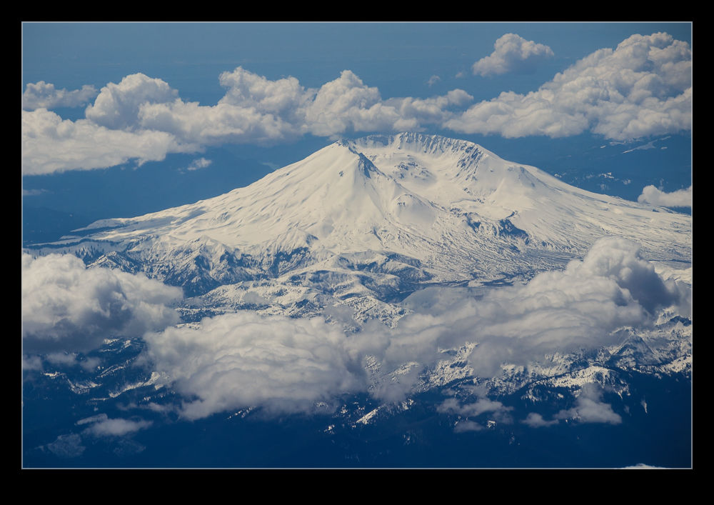 I have been on a couple of flights recently that took my past Mt St Helens. One was coming back home from LA and the other was departing out towards Dallas. In both cases I got a good view of the mountain covered in snow and with hints of clouds lower down. When you live in Seattle, Mt Rainier is a constant reminder of the volcanoes that surround you but Mt St Helens is the one that has reminded everyone about the power that these mountains contain. Hopefully it will be calm for a while.
Boats and Mountains
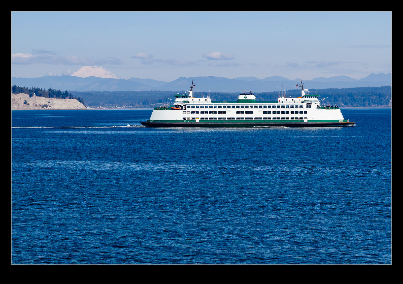 Taking any of the Washington State ferries provides with some interesting scenery. Puget Sound is surrounded by large mountains so you can see something in most directions. The other ferry plying our route passed us mid-way across the journey and catching it with a mountain in the background was not tricky. The ferries seem large when you are close to them but they are quickly put in context with a volcano in the background!
Into the Heart of the World
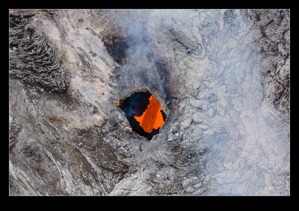 The biggest thing that made me want to go to Big Island was volcanoes. I have seen plenty of photos and video of volcanic activity but I have never seen it for real. I wanted to try and experience the awesome power welling up from the heart of the earth. Awesome is a word that gets pretty free use but I think when it comes to the violence that the layer of energy just below the crust of the earth can produce, awesome is a word that is entirely justified.
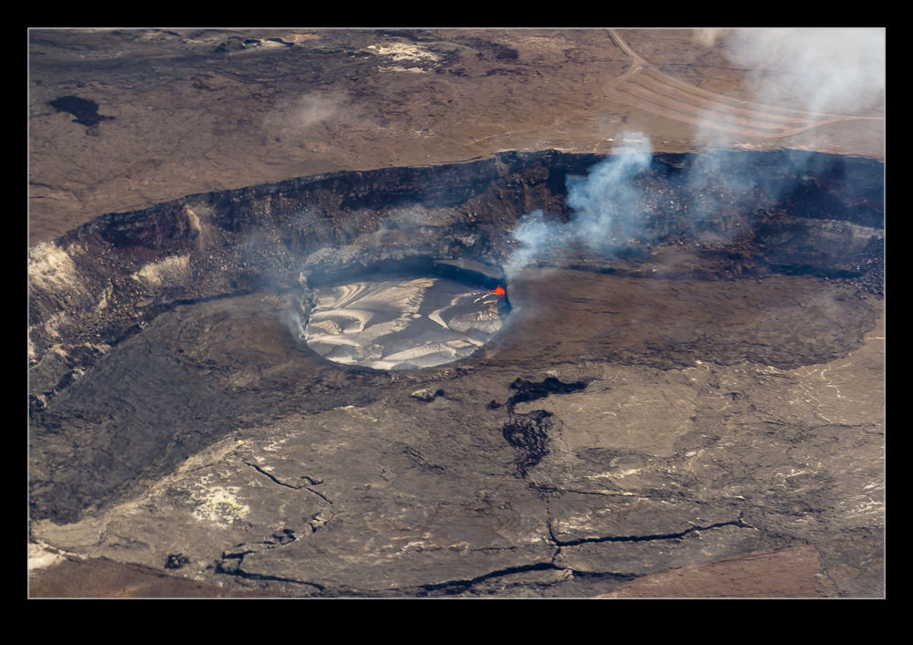
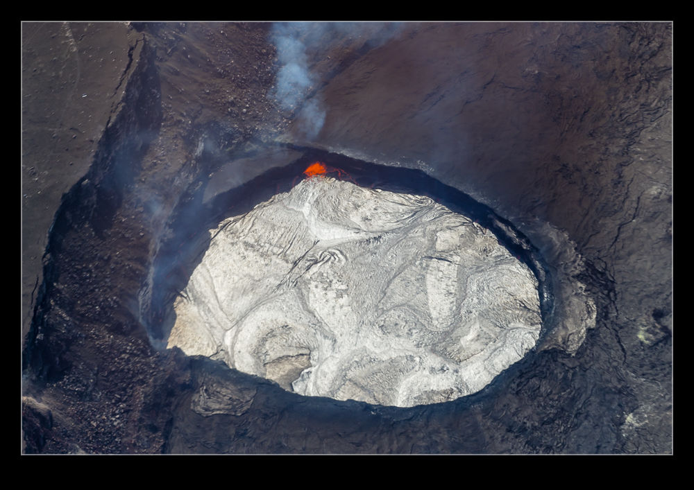 The south end of Big Island is the one that is most active volcanically. Mauna Loa and Mauna Kea are both sitting quietly at the moment but neither of them is considered done. Mauna Loa has erupted relatively recently. However, the one that is playing at the moment is Kilauea. It has been busy erupting for a long time now. We checked it out by helicopter – the most easygoing way to see things. We took in two locations of activity.
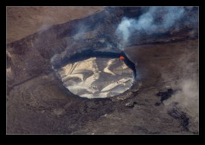
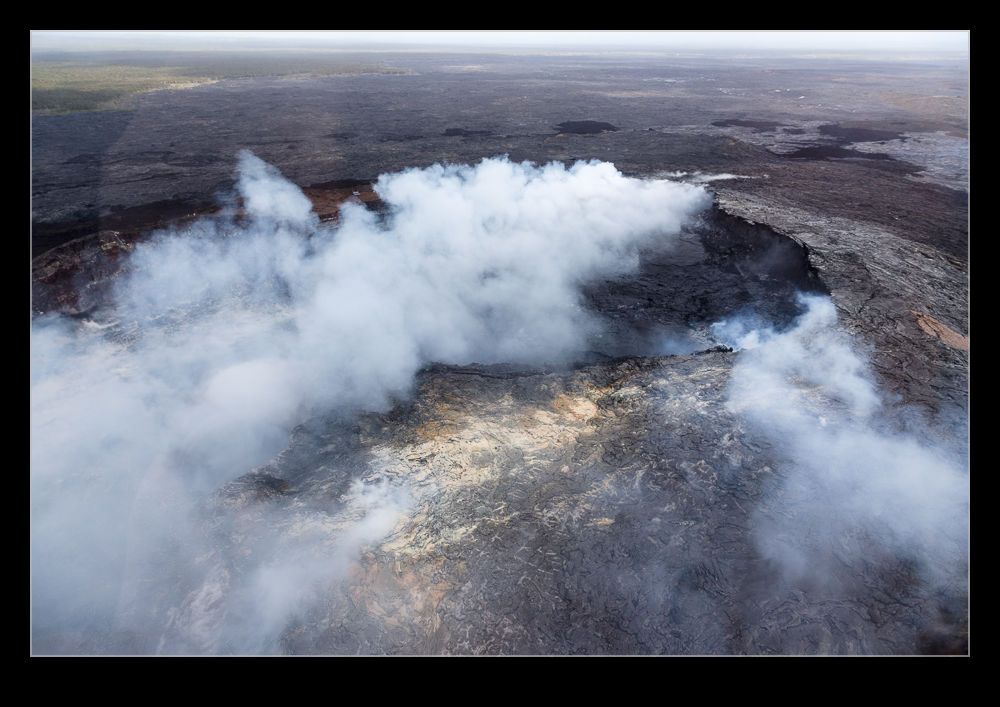 The first was an open route to the inside of the planet. It has been active for a long time and has a visitor center. Apparently, you used to be able to walk close to the edge of the hole as a tourist. A parking lot is still visible. However, a violent outburst a few years ago suggested that this location was no longer safe. Now the visitor’s center is as far as you can go. There is a circular hole in the larger crater in which the lava bubbles. The level rises and falls daily and often will come over the lip into the larger crater. While we were over it things were a bit below the lip but you could still see the heat just below the surface of the lava. Because the air cools the lava quickly, you rarely see the molten lava is it is usually under a crust. Still very hot, but not liquid.
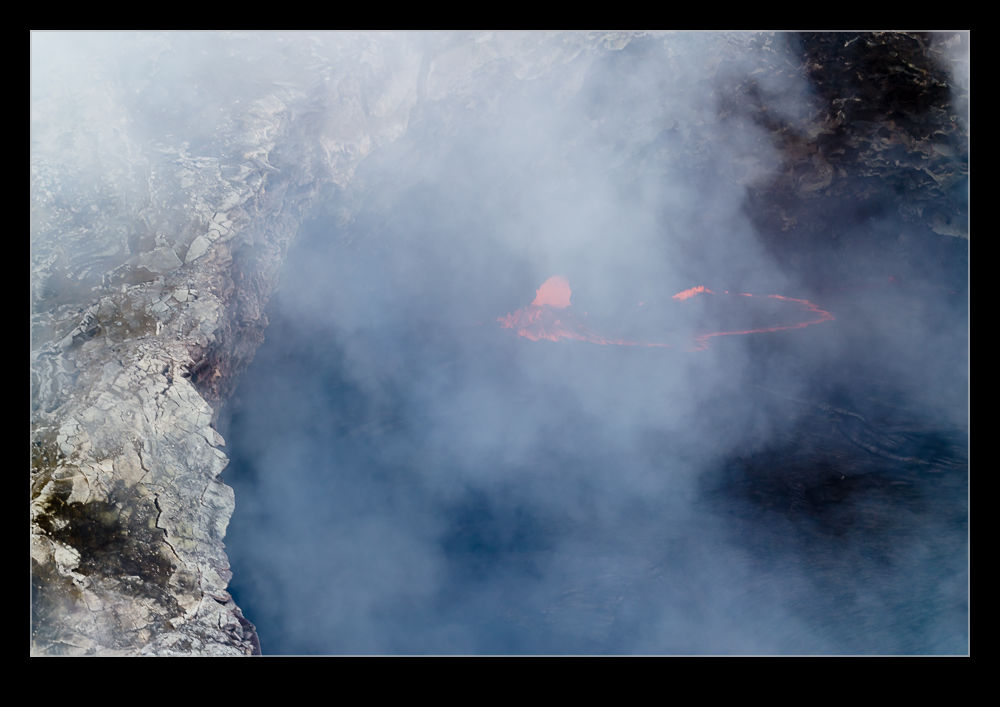 We then headed off to another area of activity. Here there was a rip in the surface from which gases were billowing. As you looked through the various holes, you could see into the heart of things and the glow from the lava was impressive. The color was intense and you could sense the heat within. As the lava emerged from various fissures in the surface, it would cool to make a new crust. A metallic looking surface would appear. Occasionally, the lava would bubble forward and, oh so briefly, there would be a red glow on the surface. Then it would cool and add a bit more to the metallic surface.
 Big Island was a constant stream of references to the incredible forces that had formed the island. The lava fields covered much of the island. Even on the beaches, you had to be cautious of the lava chunks on the sand. My delicate feet did not like the lava. However, nothing could match the raw power that was on display at the volcanoes. I was certainly not disappointed having focused so much on them in planning the trip. Nature is amazingly powerful.
