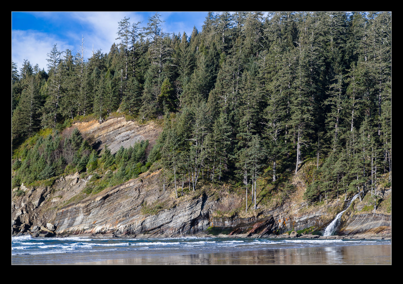
 Short Sand Beach was a pretty place to hang out but it also would be great place for a geology field trip. There were some very clear strata in the rock and they were angled from the level. It appeared that the corner of the beach was in the middle of the slope of the strata with the angles opposed on either side. Low winter sun makes the shading on the strata stand out. Every time I see something like this, it reminds me of a friend from school who used to impersonate a teacher whose Welsh accent really made the words sing! You know who you are…
Tag Archives: rock
Rock Texture on the Shore
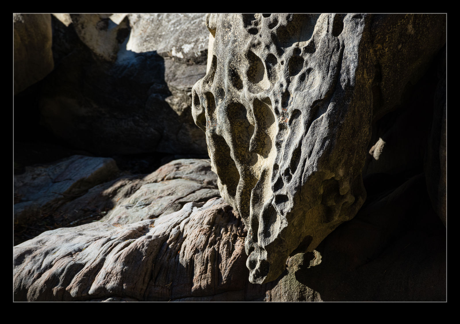
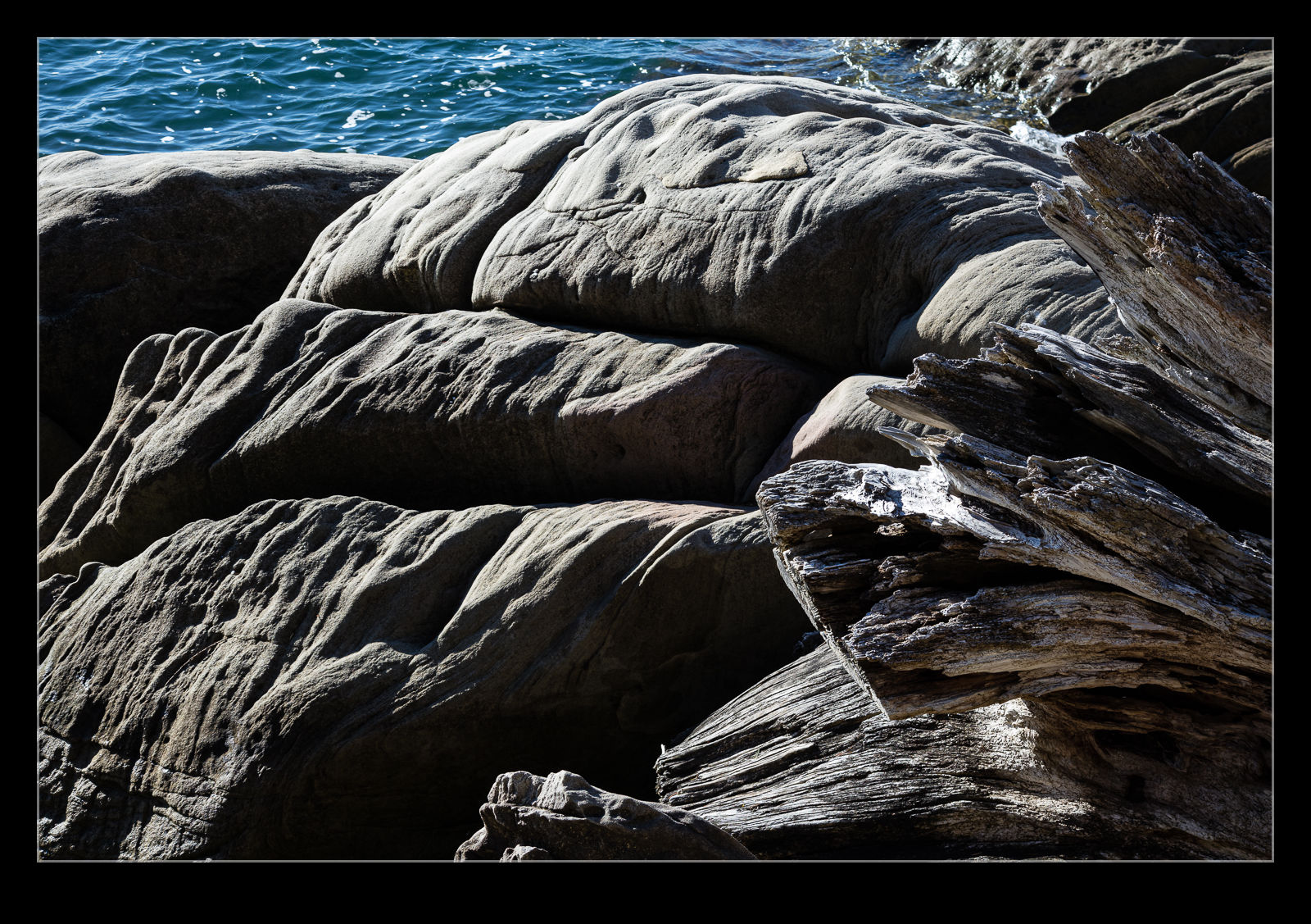 Some of the rocks along the shore in Larrabee State Park had worn in to interesting shapes under the relentless pressure of the sea. The coastal rocks are all shaped by the wave action but I thought these looked a little different to normal. I wonder whether the rocks are a softer type than I am more familiar with because the curves and cracks seemed to be a lot smoother than is usual. Some of the rocks also had pitting in them, presumably from the eddies in the water flowing across them gradually eroding deeper into the surface of the rock.
Trees Growing Out of the Rock
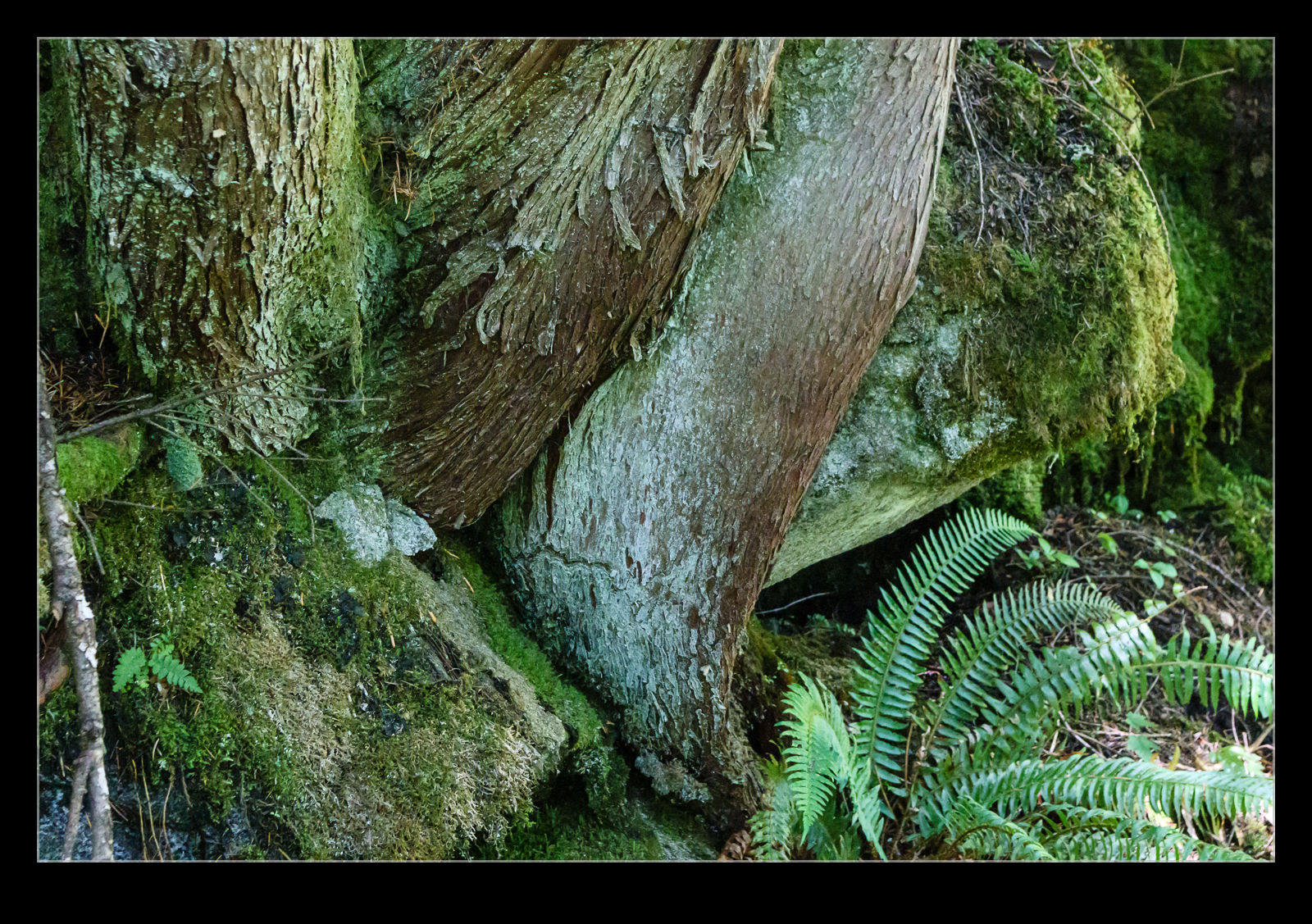 When starting up at rocky mountainsides, it is easy to spot trees that seem to be doing an amazing job of growing out of somewhere that looks like it shouldn’t be possible. Normally I am a lot further away that is practical to get a good look at how they do this. However, while hiking in the Cascades, we came across a spot right next to the trail where some trees were growing right out of the rocks next to us. It was so cool to see how they develop a root structure in solid rock from which they can grow and flourish. Here are a couple of shots to show how they have successfully embedded themselves in a rocky surface.
Cliff Fall and Rock Strata
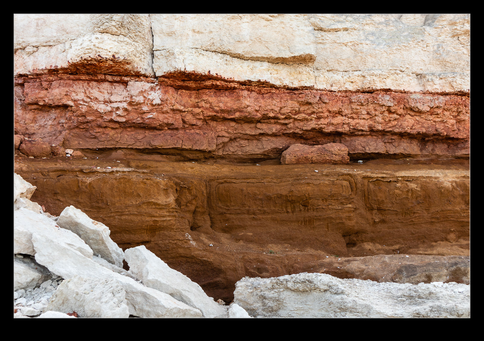
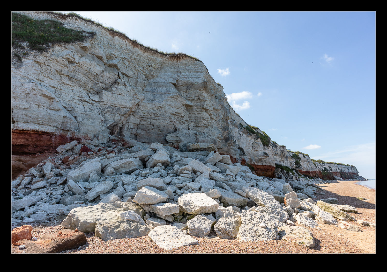
 While staying in Norfolk, we took a walk along the beach at Hunstanton. We parked up on the top of the cliffs and walked down the path to the beach. Once down there, we were able to see the cliff rocks and they were pretty interesting. The rocks had been laid down in strata are a gentle angle and looked really cool. I guess they were eroding since we came upon what looked like a recent rockfall. Of course, rocks do things in a lot slower time than us so it is entirely possible that these rocks had been lying there for ages but they did look pretty recent.
Rainbow Canyon Earns its Name in the Afternoon Light
 Many of the aviation people reading this will immediately know what Rainbow Canyon is. For the rest of you, it is a canyon in Death Valley. It is part of a low flying route used for military training and it is a popular spot for photographers to get shots of low flying jets either at eye level or below you in the canyon. Today it is not going to be pictures of the jets though. The canyon earned its name because there are many layers of rock in the walls that are of different colors.
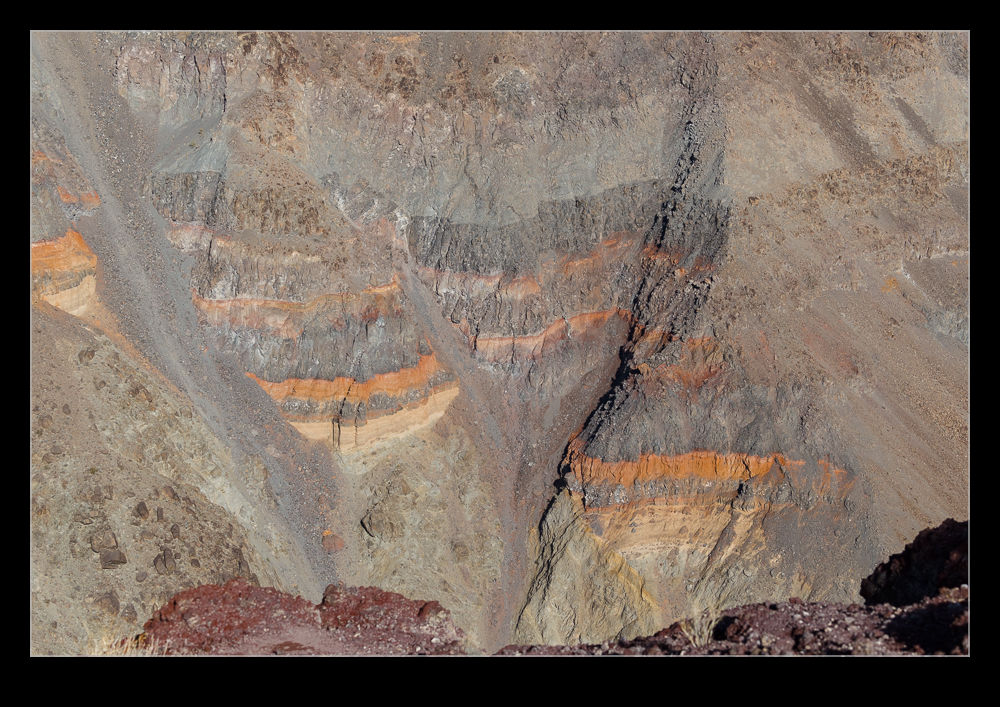 I was there in winter so the sun angles never got too high. This avoided washing out the colors of the rocks quite effectively. Even so, as the day wore on, the angle of the sun certainly improved from the point of view of getting the color out of the rocks. There was plenty of time with nothing flying so I was able to enjoy the views around the canyon a lot.
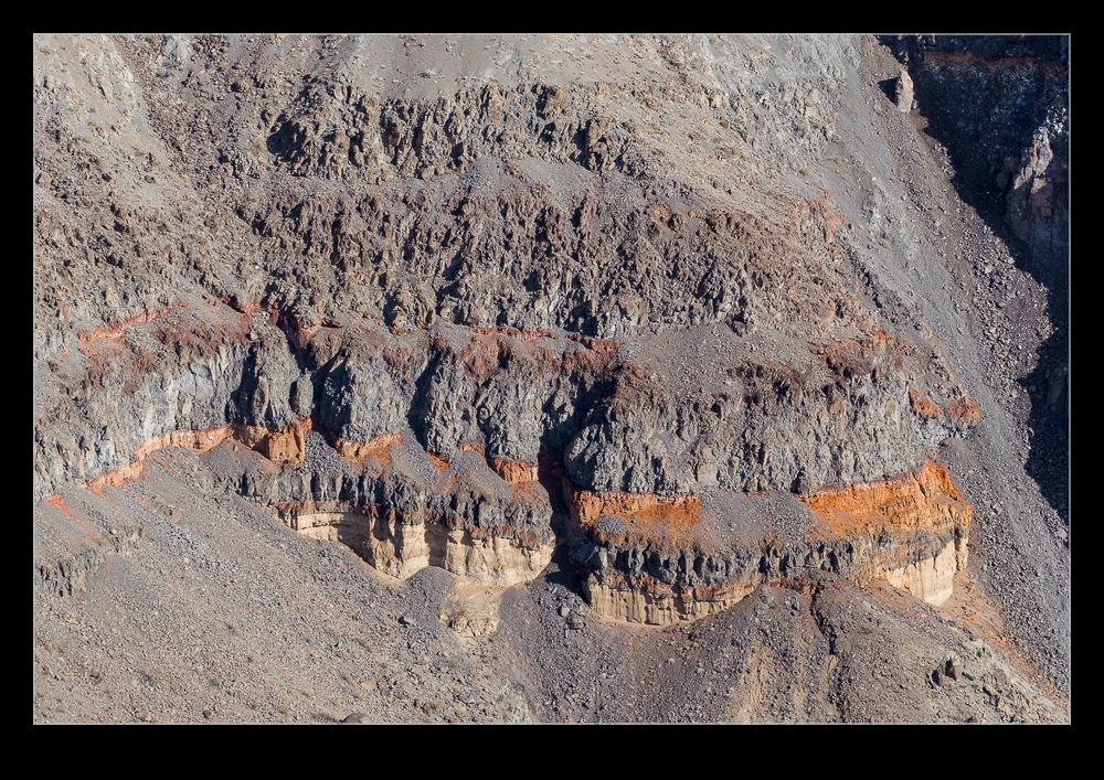 One thing that you struggle to appreciate at a place like this is the scale. I read about the Spanish first arriving at the Grand Canyon and totally failing to appreciate the scale because there was nothing to give them a reference. Rainbow Canyon, while a lot smaller than the Grand Canyon (obviously), still is deceptive. The distance across felt very small until a jet flew through and you realized how far away it still was and it was not even close to the other side. A quick look on Google Maps with the scale showing makes you realize it is actually a long way across.
Malham Cove
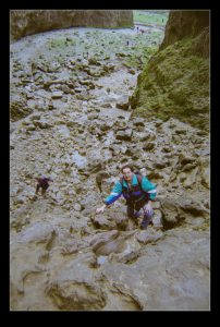
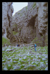
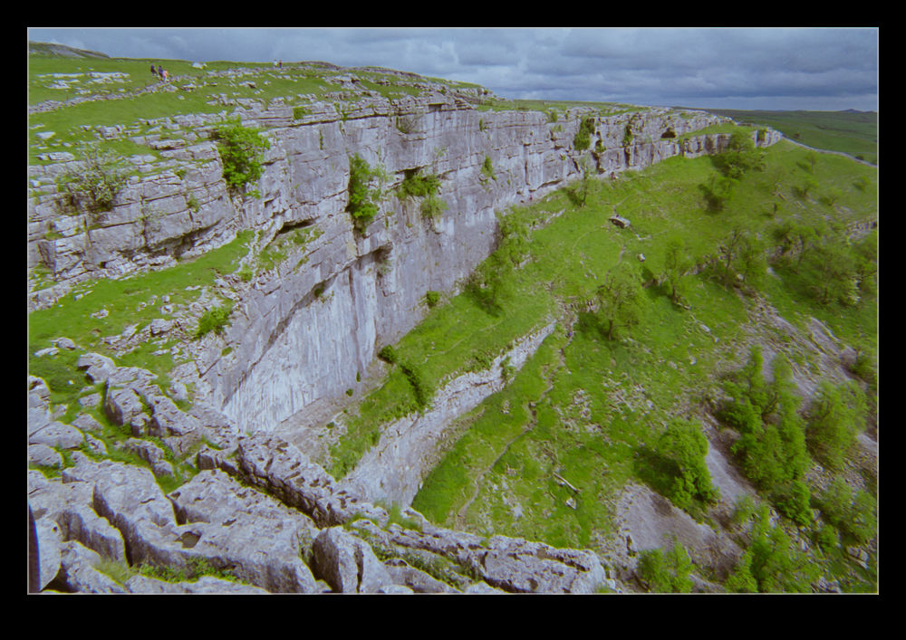 I can’t remember how the conversation developed the way it did but I was talking with a friend and got on to the subject of Malham Cove. Located in Yorkshire in the UK, this is a stunning location. It is a horseshoe shaped rock formation that once was an impressive waterfall. The water is still there but now the majority of the rock face is dry and it provides a great place for a hike. To illustrate this post, I am digging back in to the archives in a big way. This involves a trip I took there with an old friend of mine. I will not give his name but I will be interested to see if he reads this and what he thinks of photos of himself from twenty years ago!
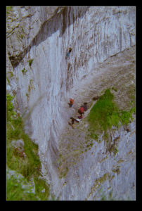
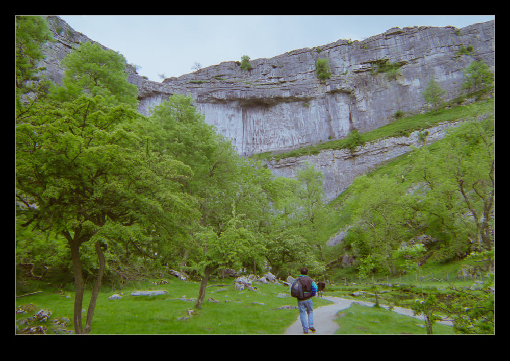 You can park your car in Malham and walk straight up to the cove. However, we took an alternative route to make for a more interesting walk. We walked up a narrow valley named Gordale Scar. The valley gets narrower and narrower until you come to a waterfall. Provided the water is not flowing too hard, it is possible to climb up the side of the waterfall. Once at the top, you continue on a steady climb alongside a river – Gordale Beck. Even as young and energetic fellows like we were in those days, I recall this being a pretty hard slog and, while neither of us was going to show weakness to the other, I seem to recall a few stops to enjoy the scenery – nothing to do with catching our breath.
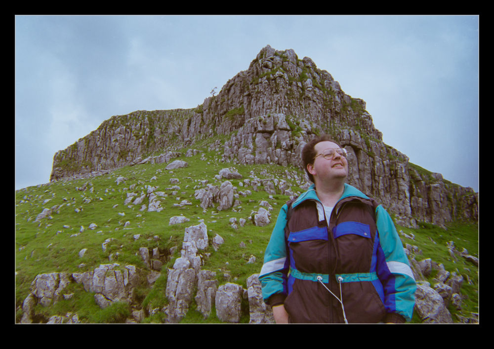 Things gradually flatten out and you cross some fields to come to Malham Tarn, a moderately sized lake. This is the turning point for the walk. Now you head back towards Malham itself. You end up coming across a limestone pavement to the tome of Malham Cove. Here you will meet a bunch of people that have walked up the steps from the valley below. Having made a far longer trek, you are tempted to be a little dismissive of these people taking the easy route but there are still a lot of steps so they have had to make some effort.
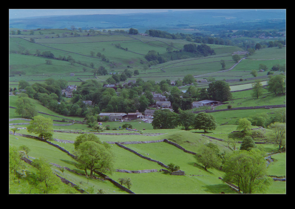 The view from the top is stunning. The drop down is a long one – about 80m (240’) – and there are often climbers testing themselves against the rock faces. The cracks in the limestone can be quite large as you step across and it is fun to imagine the whole thing being under rushing water. The formation is about 300m wide so, while it might be busy, you probably won’t feel crowded. When you have finally enjoyed the scenery enough, you can descend the steps at the side to head back into the village. This still gives you a chance to appreciate the view back up at the cove as you head away.
This place is stunning, particularly on a lovely day. If you live in the UK and have never been, try and get there. If you don’t live in the UK, add this to your itinerary when you go.
Rock Climbing
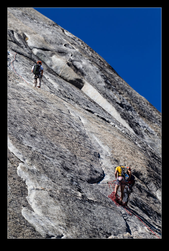
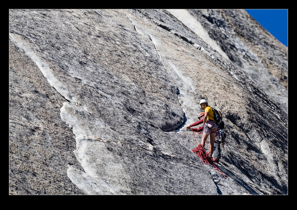 The scenery in Yosemite attracts a lot of people but some of them want to get a bit more personal with the rocky landscapes. Climbing is very popular and, when you stop to take a look around, a quick look up may well reveal a few brave fellows scaling the heights. I initially didn’t notice a group above us at one of our stops but then I saw someone else looking up and took a more detailed peak myself. I saw some people up on a ridge and only then noticed some people lower down on the face of the rocks as they descended. The long lens doesn’t quite give you the impression of their height but I assure you they were a long way up.
Devil’s Postpile
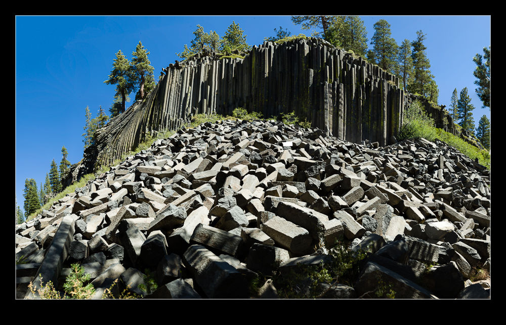 A trip to Mammoth Lakes for a long weekend had us exploring some of the local areas of interest. One that our guidebook recommended was The Devil’s Postpile. This was described as an outcrop of basalt formed during the volcanic activity the area experienced quite a while back. We decided to give it a go. I like geologic features and having grown up with pictures of the Giant’s Causeway in Ireland, I knew what basalt could look like.
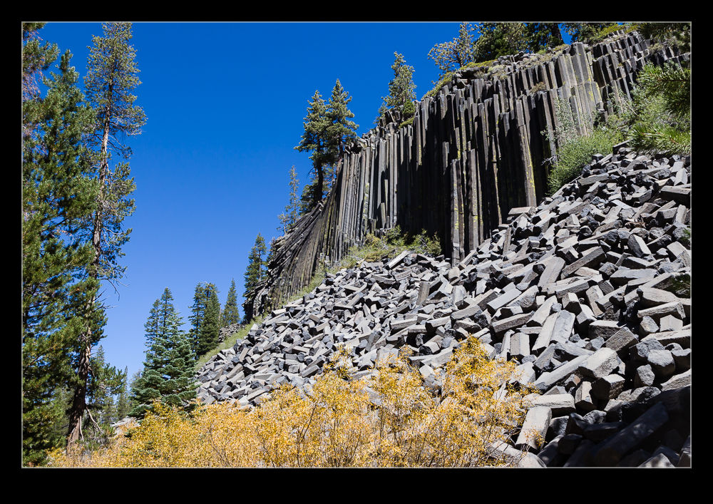 We weren’t the only ones with this idea. The valley in which the Postpile is located is accessed by a steep, narrow, winding road. Consequently, traffic is very restricted and most visitors use the shuttle bus. This was a lot of people the day we were there and the line for the bus was long and slow. At one point we contemplated bagging the whole thing. We set some time thresholds to be on the bus and we were just inside these when we finally got on board.
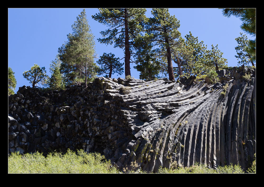 It is a short walk from the bus drop off point to the rocks. They are certainly very cool. It is always hard to believe that rocks should form in these hexagonal columns naturally. In this case they are not only vertical but some sections have distorted in different ways so it is a mix of patterns. The harsh shadows of the middle of the day actually helped to emphasize the interesting patterns.
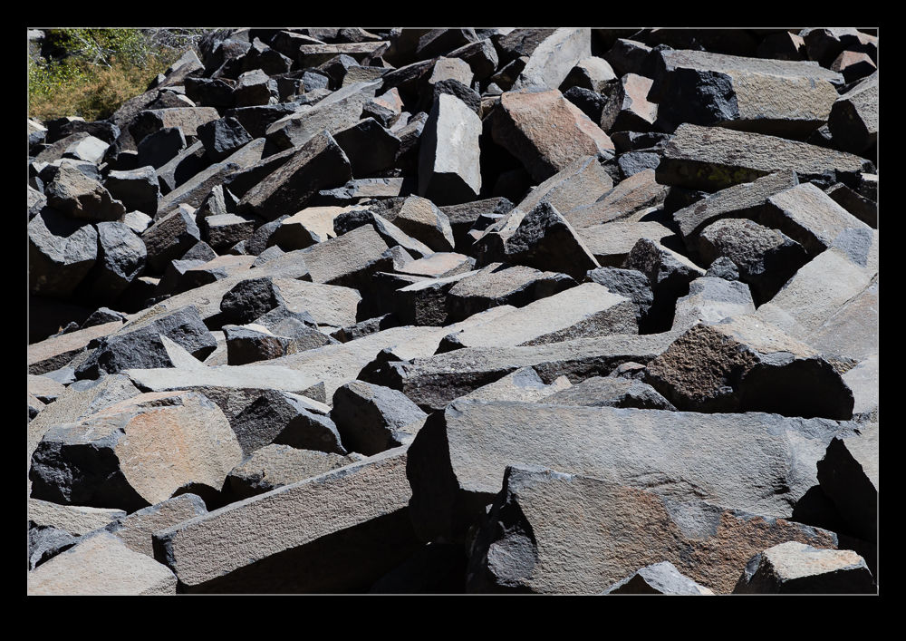 There was a lot of fallen rock in front of the hill which gave some interesting perspective on the size of the columns. When some of the pieces had been split, it was good to see how black the interior was unbleached by years of sun.
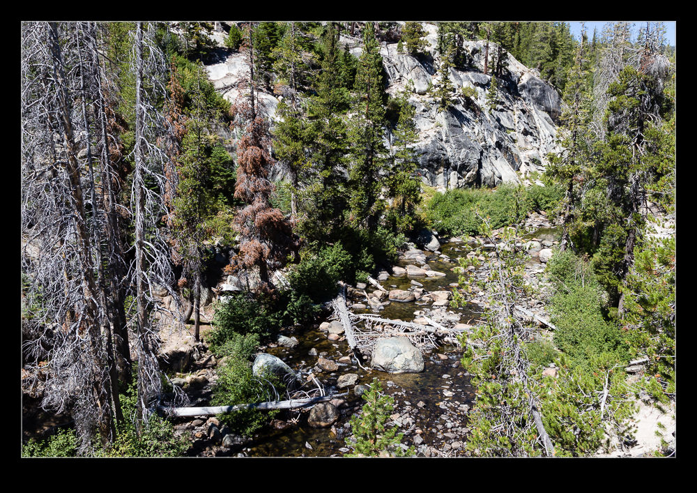 However, the best was yet to come. I was wandering behind the trees to see a view of the hills behind us and to get away from the crowds for a moment. I ended up on top of a ridge overlooking the San Joaquin River. The view was beautiful. It was quite funny to think that so many people were wandering along the trail a short distance away and had no idea that they were missing out on a beautiful location. Of course, if they had realized, a part of the beauty would have been gone.
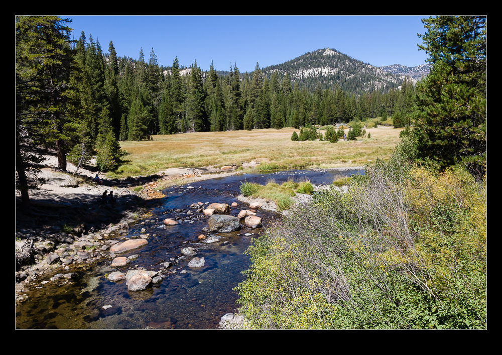 On the walk back to the bus, I made an effort to check out the side trails to see what was here too and got to share some of the lovely views with the others who had stepped off the main path. It always pays to poke around a bit.
