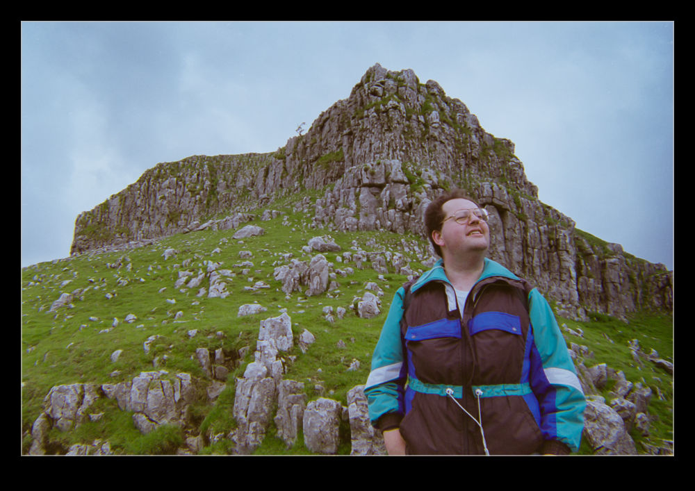
 I can’t remember how the conversation developed the way it did but I was talking with a friend and got on to the subject of Malham Cove. Located in Yorkshire in the UK, this is a stunning location. It is a horseshoe shaped rock formation that once was an impressive waterfall. The water is still there but now the majority of the rock face is dry and it provides a great place for a hike. To illustrate this post, I am digging back in to the archives in a big way. This involves a trip I took there with an old friend of mine. I will not give his name but I will be interested to see if he reads this and what he thinks of photos of himself from twenty years ago!
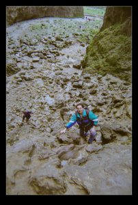
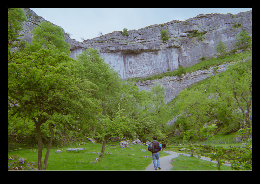 You can park your car in Malham and walk straight up to the cove. However, we took an alternative route to make for a more interesting walk. We walked up a narrow valley named Gordale Scar. The valley gets narrower and narrower until you come to a waterfall. Provided the water is not flowing too hard, it is possible to climb up the side of the waterfall. Once at the top, you continue on a steady climb alongside a river – Gordale Beck. Even as young and energetic fellows like we were in those days, I recall this being a pretty hard slog and, while neither of us was going to show weakness to the other, I seem to recall a few stops to enjoy the scenery – nothing to do with catching our breath.
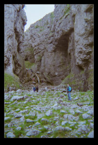
 Things gradually flatten out and you cross some fields to come to Malham Tarn, a moderately sized lake. This is the turning point for the walk. Now you head back towards Malham itself. You end up coming across a limestone pavement to the tome of Malham Cove. Here you will meet a bunch of people that have walked up the steps from the valley below. Having made a far longer trek, you are tempted to be a little dismissive of these people taking the easy route but there are still a lot of steps so they have had to make some effort.
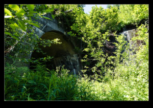
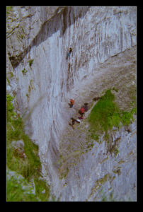
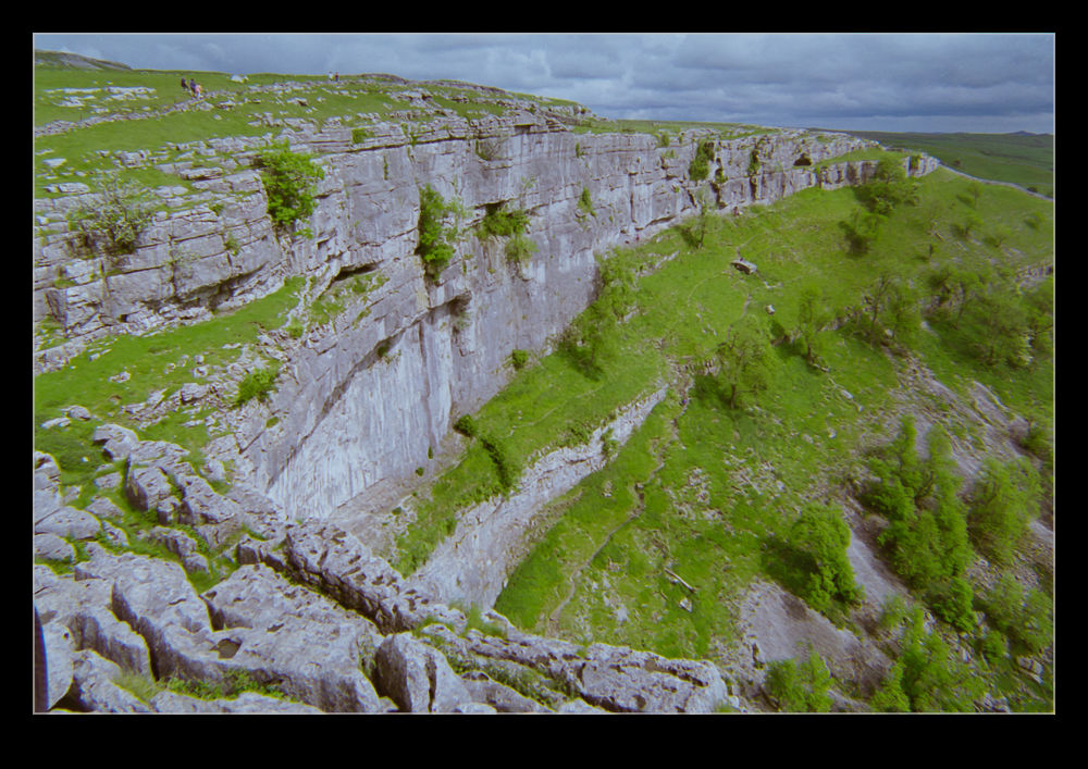
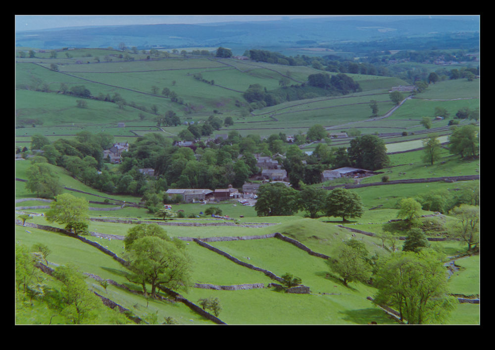 The view from the top is stunning. The drop down is a long one – about 80m (240’) – and there are often climbers testing themselves against the rock faces. The cracks in the limestone can be quite large as you step across and it is fun to imagine the whole thing being under rushing water. The formation is about 300m wide so, while it might be busy, you probably won’t feel crowded. When you have finally enjoyed the scenery enough, you can descend the steps at the side to head back into the village. This still gives you a chance to appreciate the view back up at the cove as you head away.
This place is stunning, particularly on a lovely day. If you live in the UK and have never been, try and get there. If you don’t live in the UK, add this to your itinerary when you go.
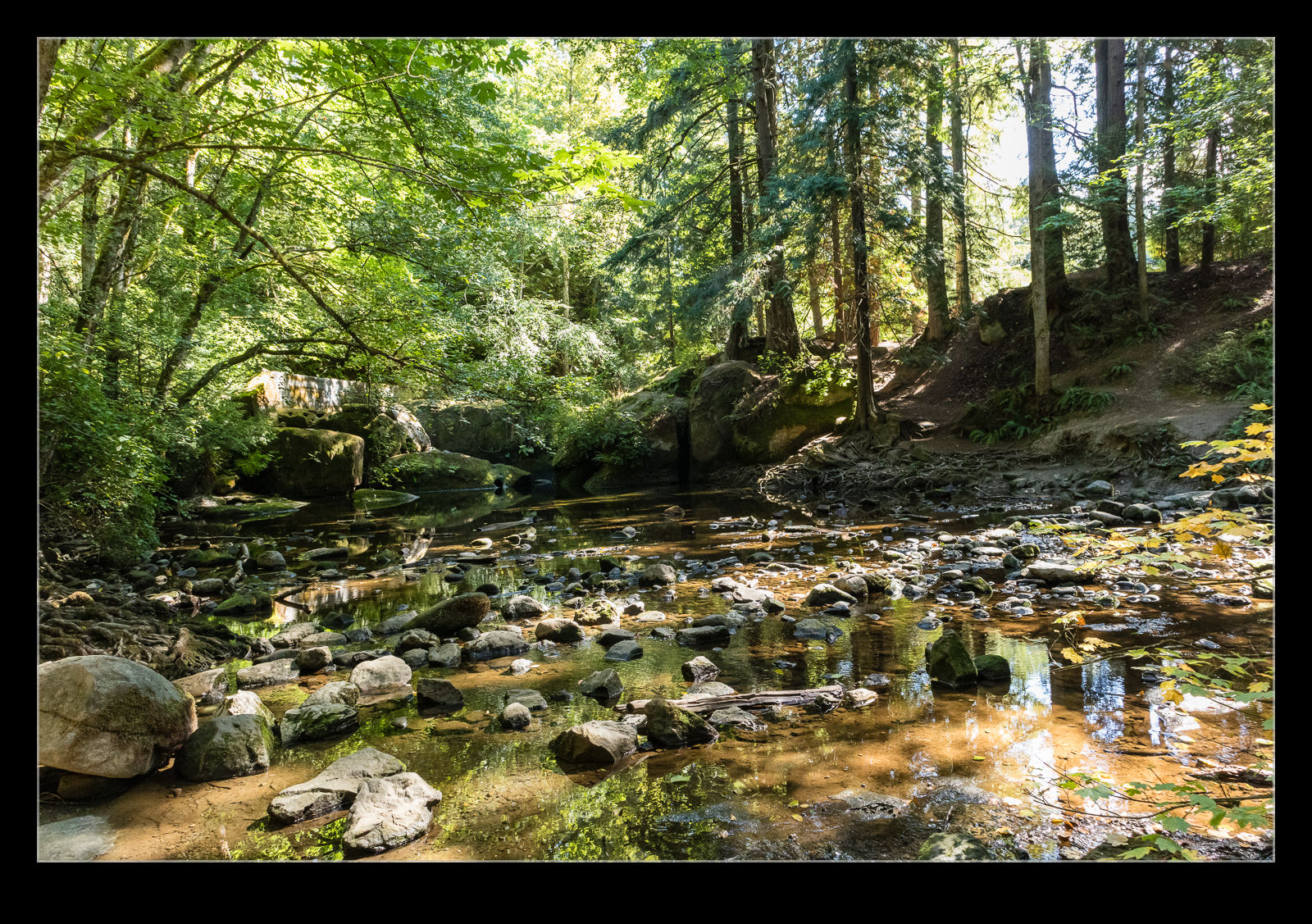
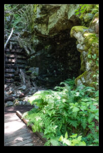
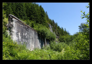
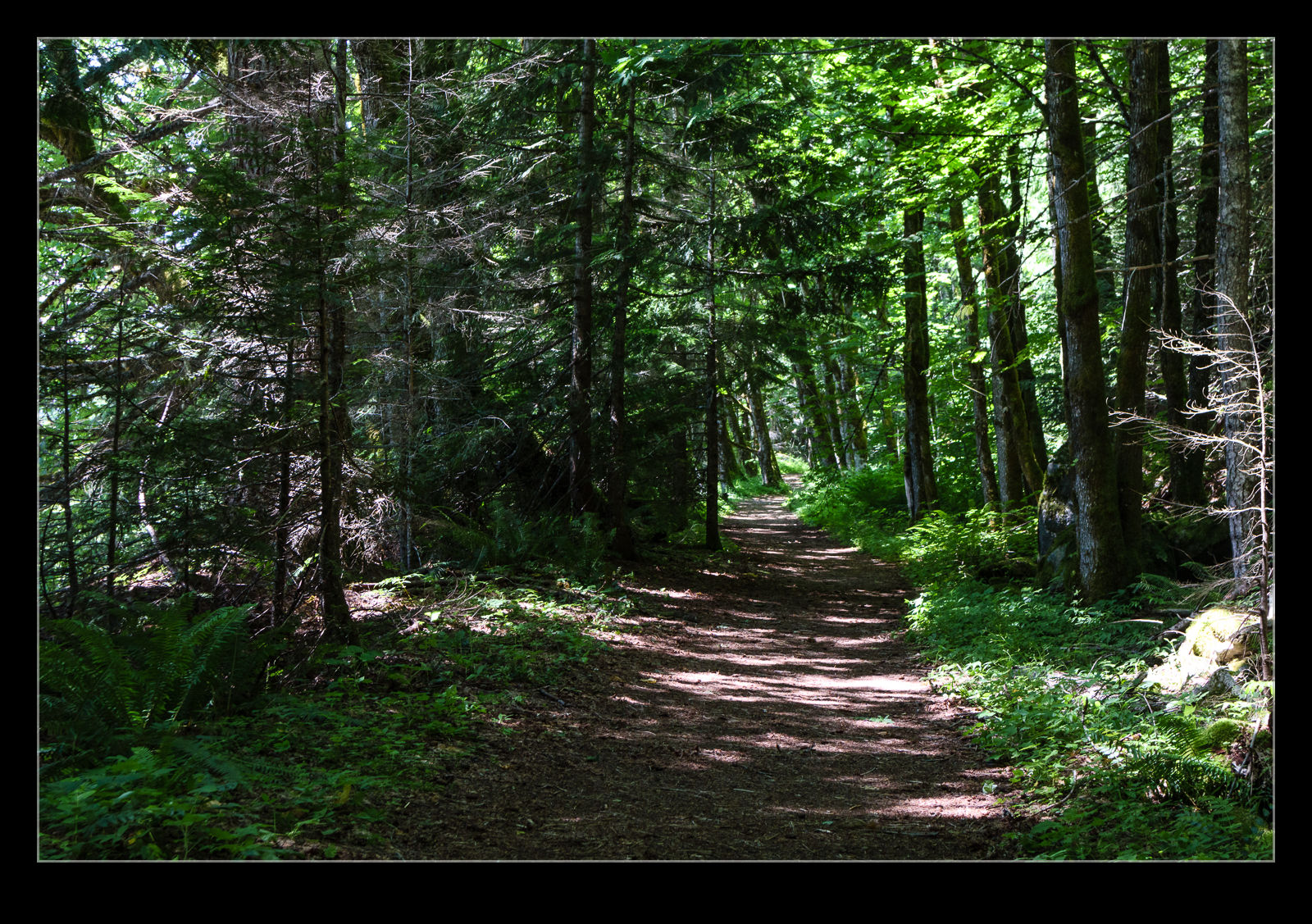
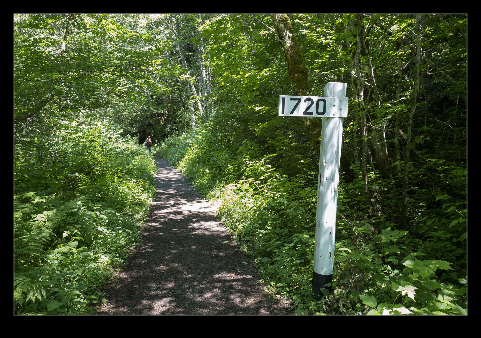
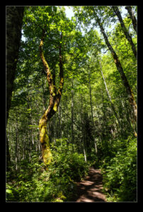
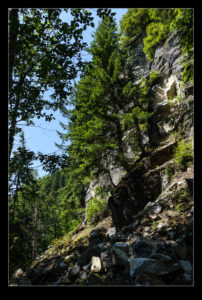
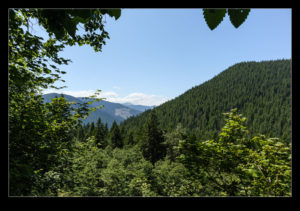
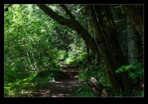
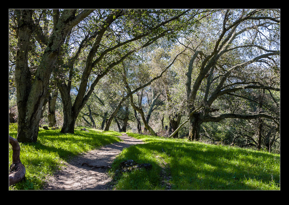
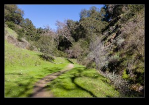
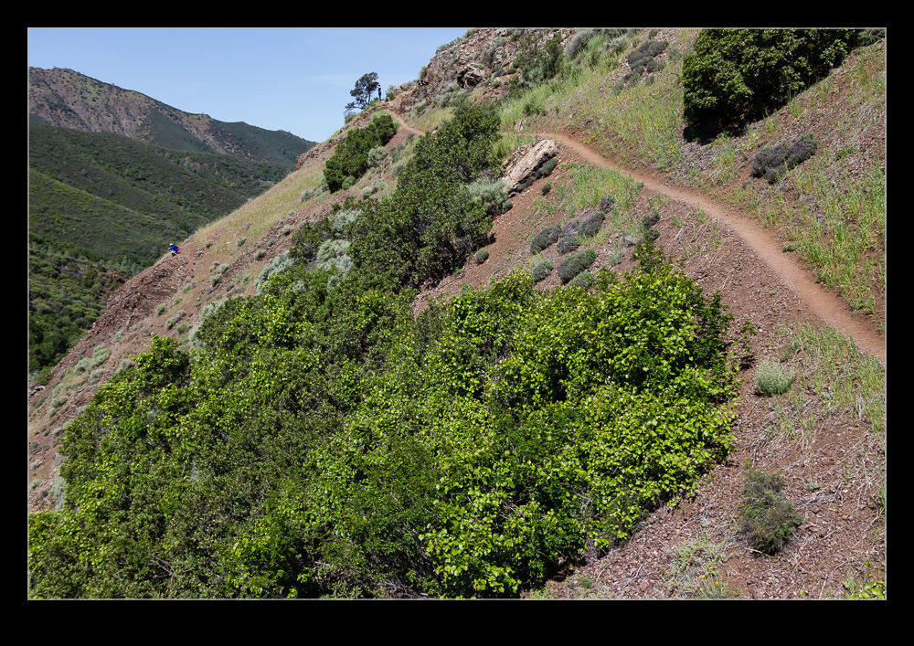
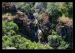
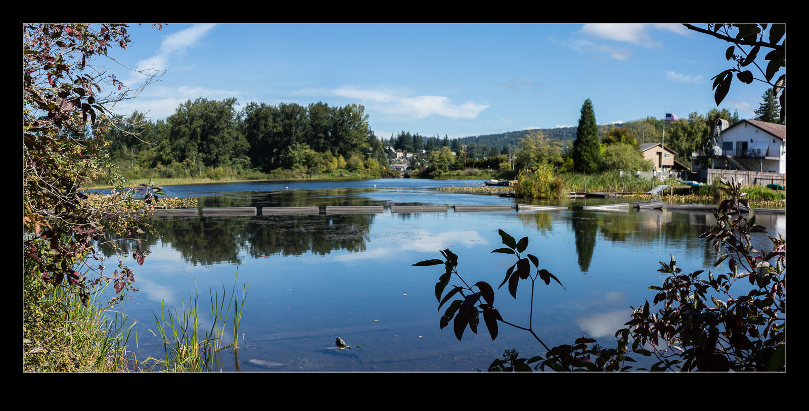 We took a trip up to Bellingham to walk around Whatcom Falls Park. Nancy had come across some trails described in something she was reading so we figured walking somewhere new would be fun. With a mild and sunny day, we lucked out. The park was a lovely place to stroll which, despite plenty of other people being around, never felt crowded.
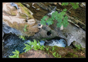
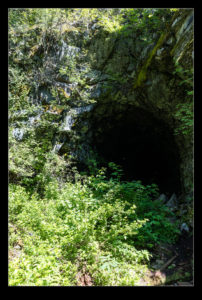
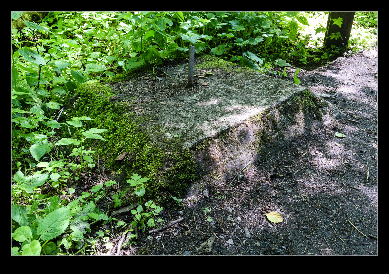
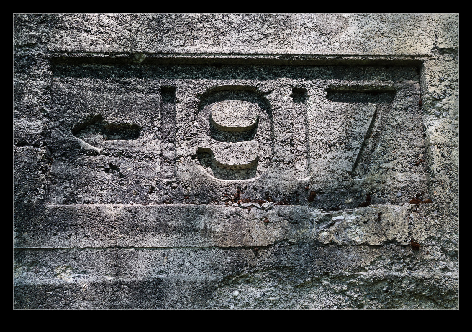
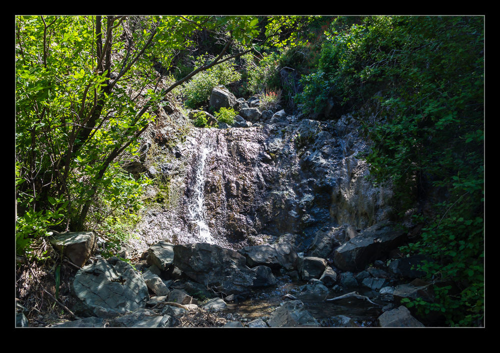
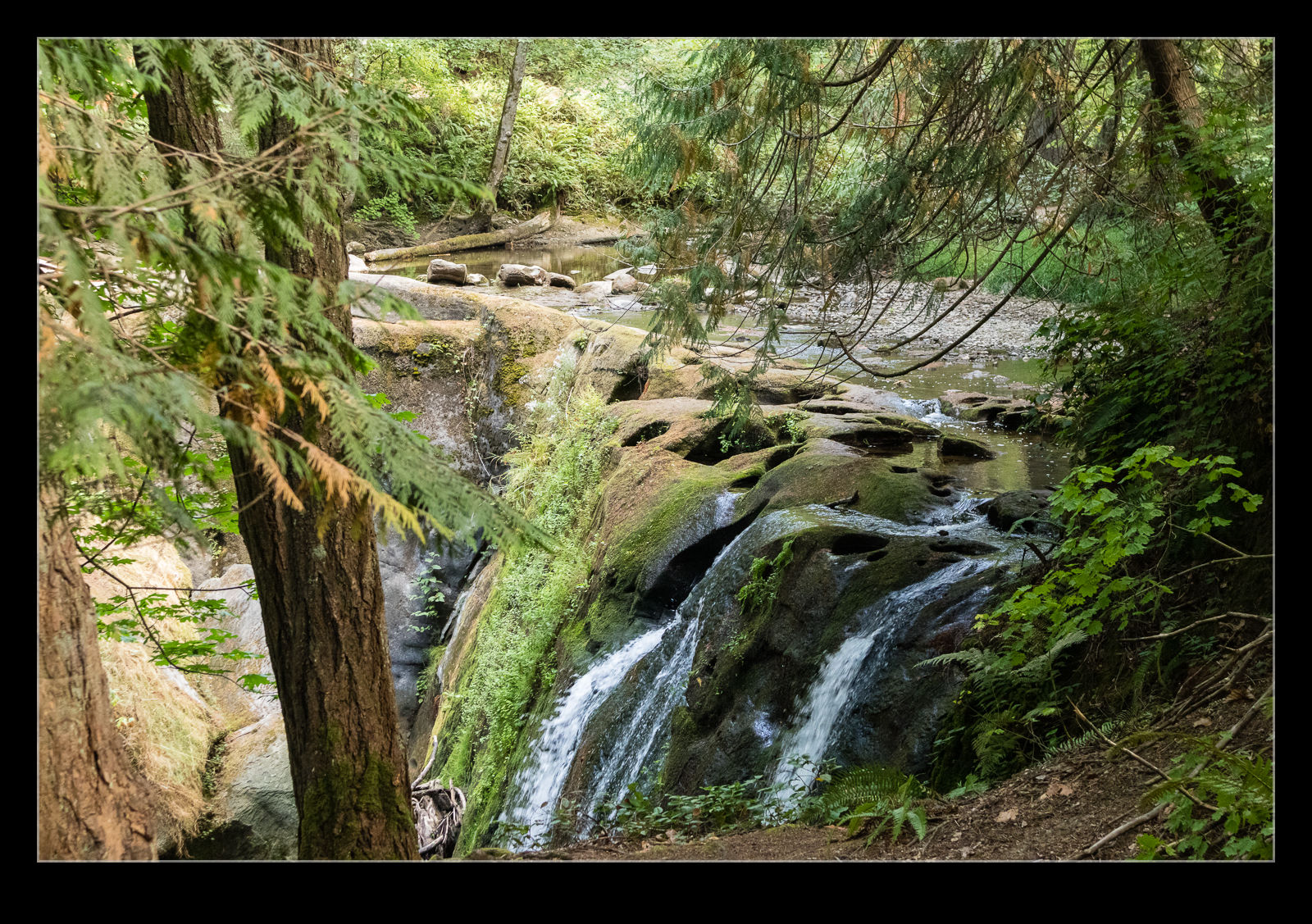 The start of the trails is very close to the falls themselves. At this time of year, the water level is pretty low. The falls still looked nice but it wasn’t hard to see the wear patterns in the rocks from where the water can flow when things are a lot more energetic.
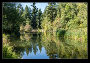
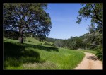
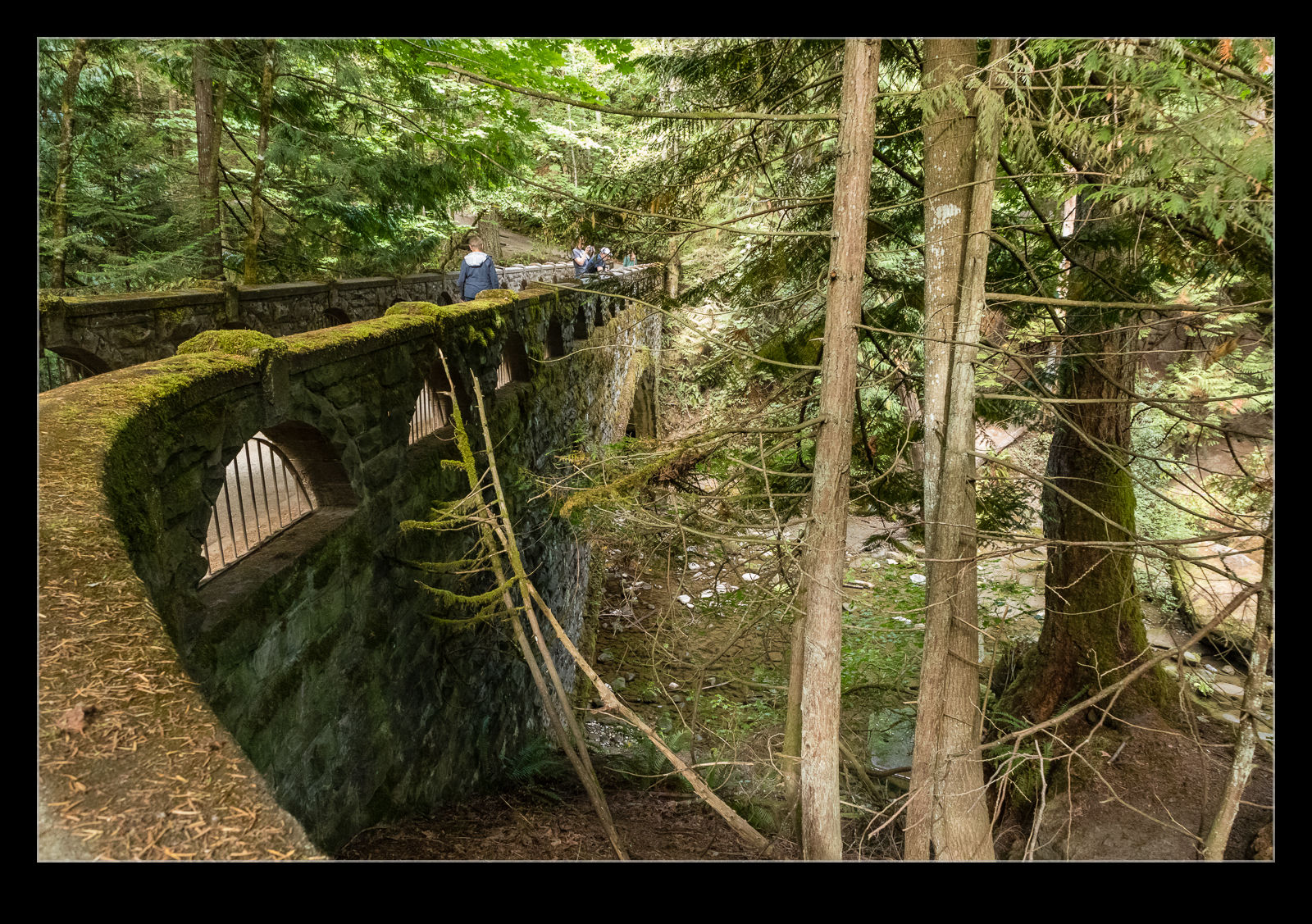 Aside from the falls, there are nice water features throughout the park. You walk through tree lined trails and then get an opening up on the lake. It is a very pleasant spot on a sunny afternoon.