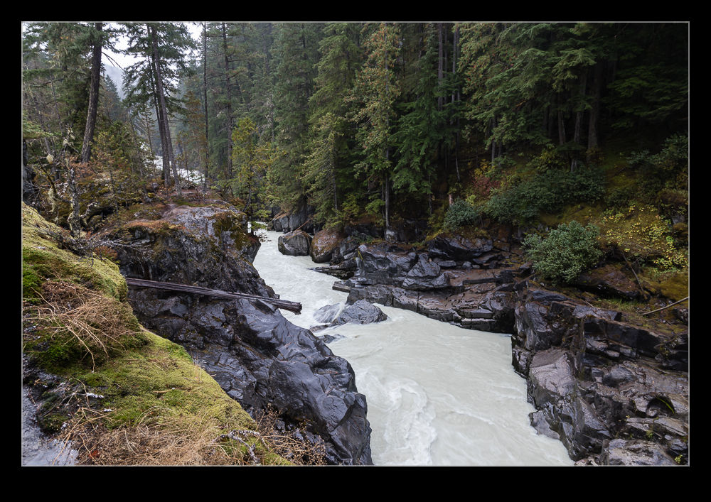
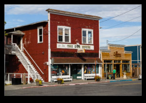
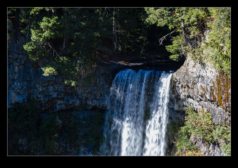
 Waterfalls seemed to be a popular part of our trip to Canada. We did a short hike to the Nairn Falls, a short drive north of Whistler. We chose a rainy day to make our walk but a combination of the right clothing and the tree cover the trails enjoyed for the majority of the walk meant this wasn’t a problem. The rain certainly didn’t hurt the amount of water flowing over the falls.
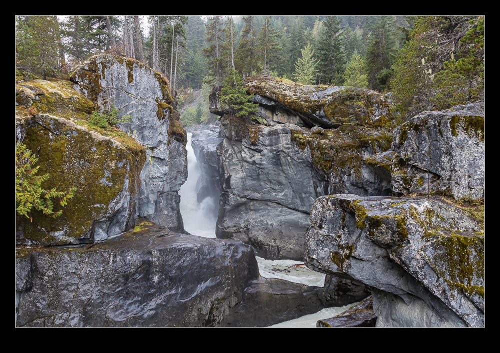
 The falls themselves are in stages. The first section drops down into a gully which then reverses the flow out in the opposite direction. This flow seems to involve going under some rocks so floating objects like logs get stuck whirling around on the surface but never getting downstream. You can head down to a lower level to see more of the falls. The rocks down to this level were a bit slippery given how much it was raining but there are some handrails for old geezers like me to stabilize myself with. It was worth the trip. The bottom of the falls had some strong flows crashing down and they really got your attention.
 The downside to exploring the falls was that you were out in the open and the heavens really seemed to deliver while we were there. Even with the rain gear on, there was only so long I wanted to be out there getting hammered on. I made the climb back up to the top. The interesting thing was how many people we saw on the trail out and back but how few seemed to explore the falls themselves. Maybe they didn’t want to get too wet in the rain or perhaps they didn’t realize how far down you could get. I’m glad I checked it all out.