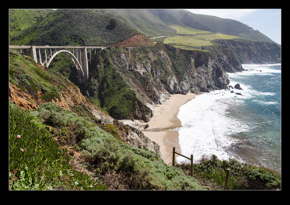
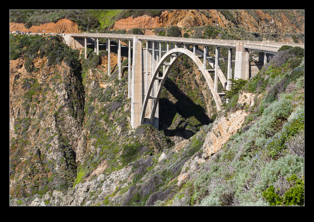
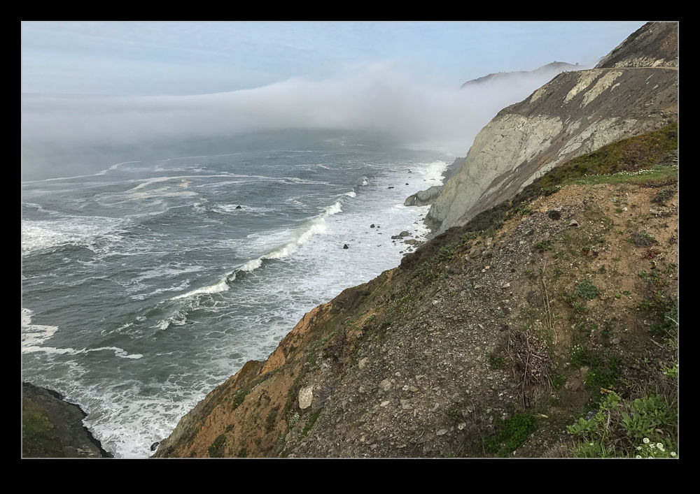
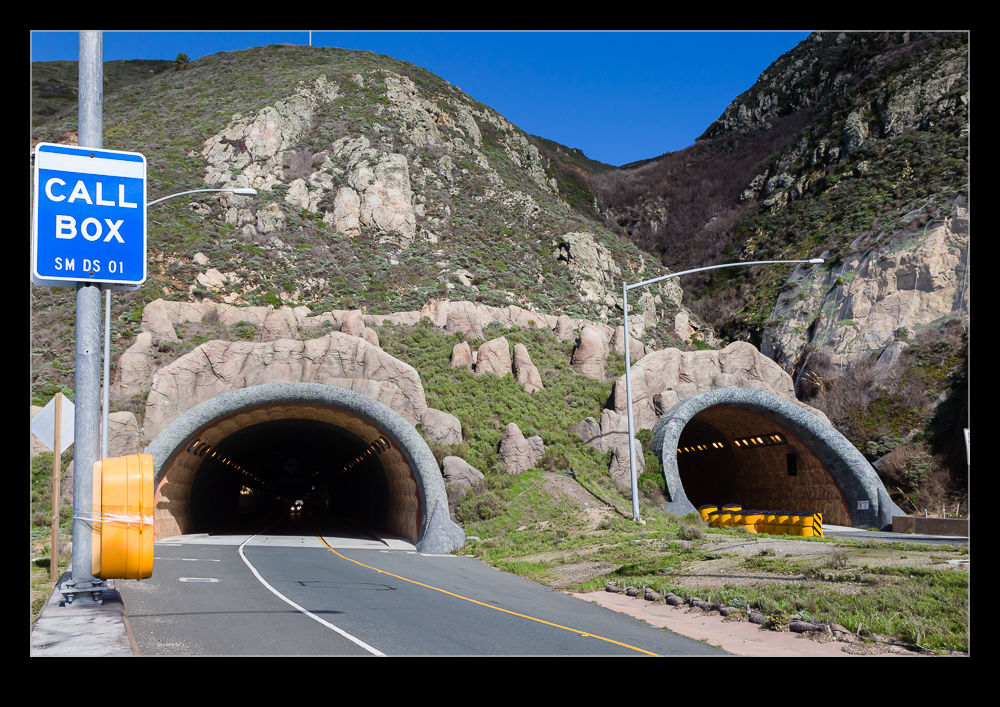
 Shortly before we moved to California, a change was made to the route of Highway 1 along the Pacific coast. Many stretches of the Pacific Coast Highway run along the tops of cliffs. One section south of Pacifica was very prone to landslides with regular disruption to the accessibility. After many years of debate, the decision was made to create a twin bore tunnel for the highway to bypass the troublesome area without impacting on the surrounding area.
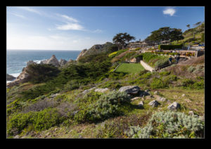
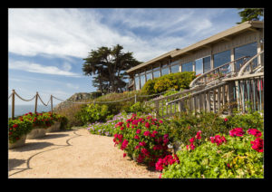
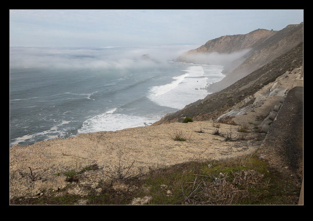
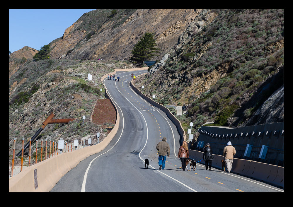 The surplus highway was not abandoned though. Once closed, work was started to convert it into a trail for walkers and bikers. This was opened not long after we arrived. Ever since reading about it, I had been thinking of checking it out and, on our way home from a weekend down in Half a Moon Bay, we stopped to see what it was like.
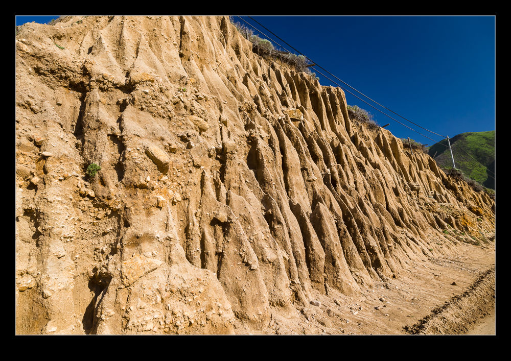
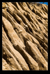
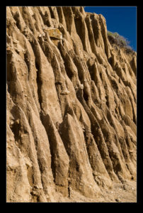
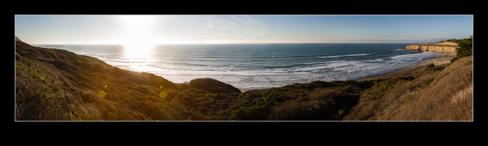
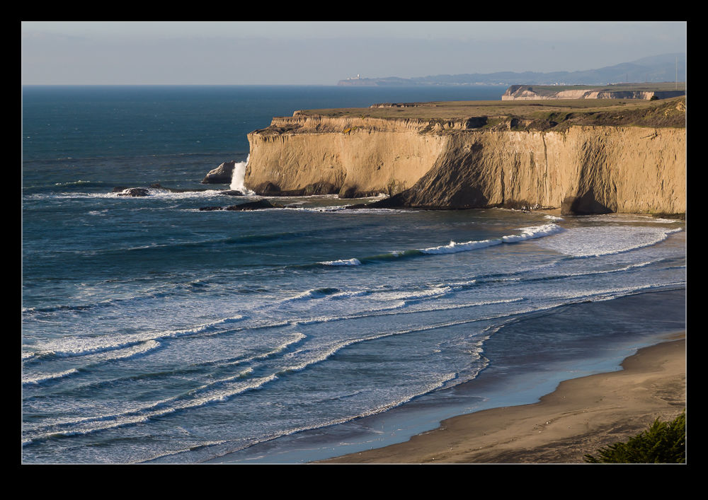
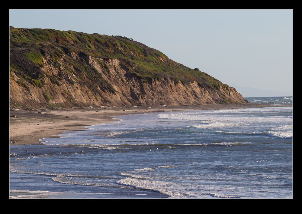
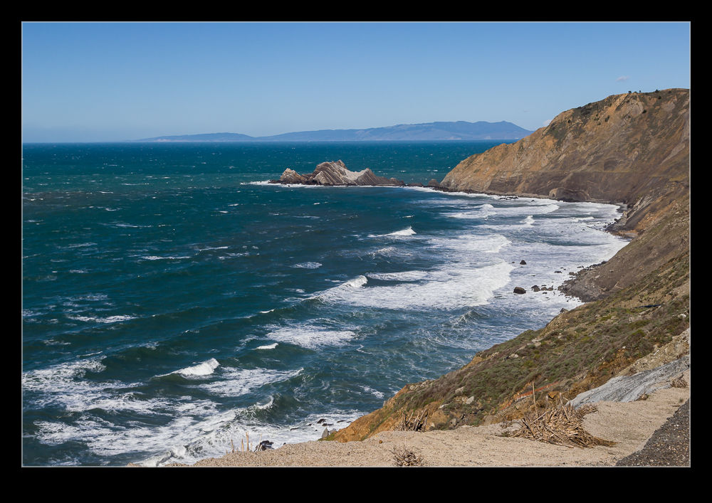
 The whole thing is probably 1.5 miles in length. It certainly includes some pretty steep slopes considering that this was once a highway. The views over the cliffs to the ocean below are stunning. You are pretty exposed though. On the day we were there, there was quite a strong wind. Sections of the trail are a little sheltered so you don’t notice the wind. Others, though, are in the teeth of the wind. One area has a cutting between a rocky peak and the cliff face. The wind really accelerates through here and we were working hard to keep on our feet!
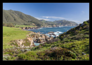
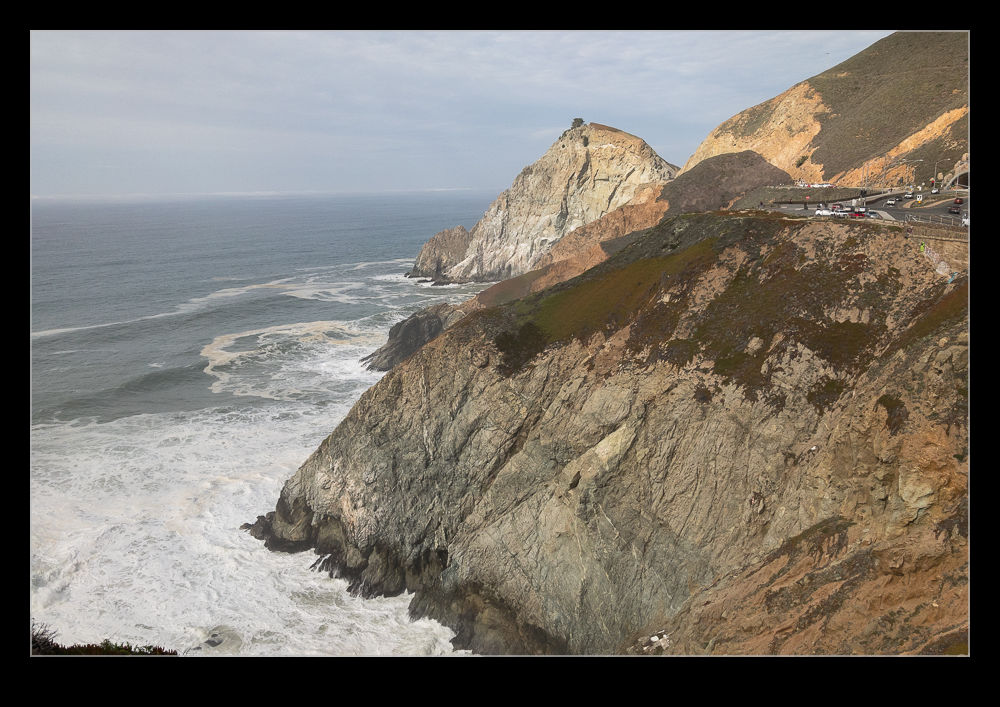
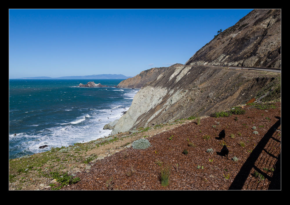 Supposedly you can get migrating whales coming very close in shore at this location. I would certainly want to go back to see if we can some whales. The high angle would certainly make it easier to spot them compared to the normal effort picking out the clouds of spray when they exhale. I will be interested to see how busy it can get. It was not too popular when we were there but maybe the timing was not good for many people.

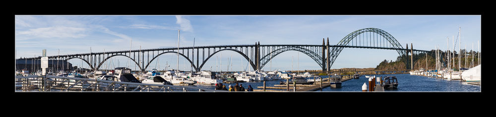 The Pacific Coast Highway runs along the coast in Oregon and passes through some towns with big harbors. Rather than head inland around the harbors, the highway crosses the entrance to some of these harbors over bridges. The architecture of some of these bridges is pretty cool. They have a bit of a deco feel to them. Sadly, some of the details are best seen as you are driving over which limits the ability to get pictures.
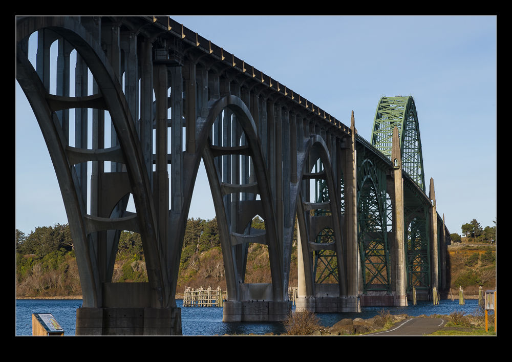
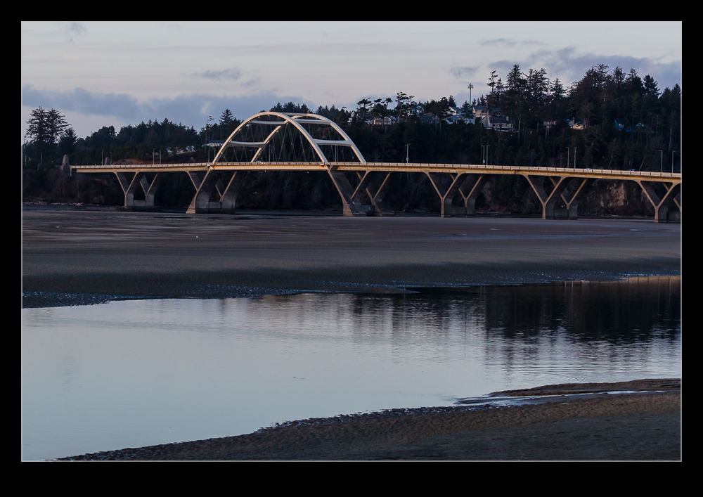 Get a bit further away, though, and you can see the bridges and get some shots. Sunset on the bridge at Waldport made for a good view. The bridge at Newport was one we crossed a number of times. I only got to shoot it on the morning we drove home. A quick diversion down to the area near the brewery meant I could take a couple of pictures before getting on our way for the long drive home.