Tag Archives: tide

Watch Where You Are Going At High Tide!

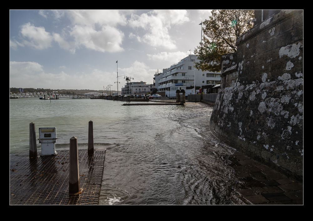
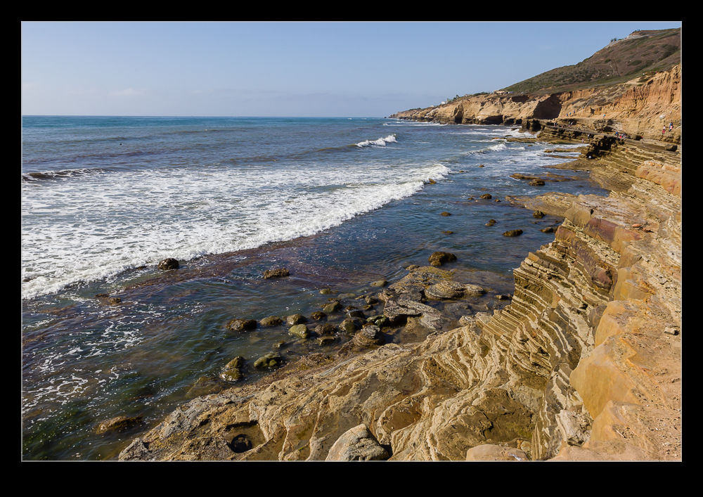
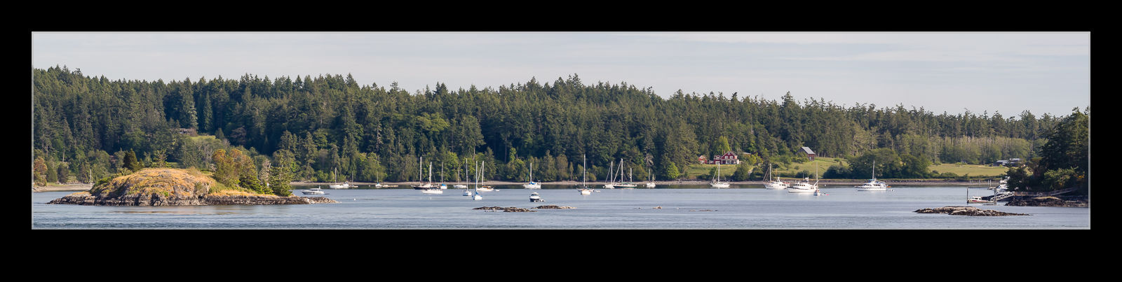
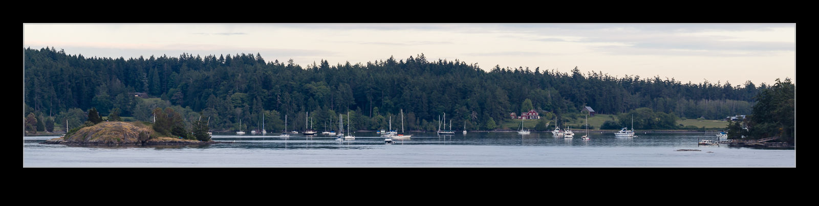
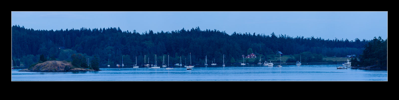
The view out over the water from pour rental house on Orcas Island was looking towards Shaw Island.  Straight across from us, when the tide was low, there was a string of rocky outcrops in the water, often populated by resting seabirds.  When I was first shooting these tiny islands, it occurred to me that I didn’t remember seeing them before.  It seemed likely that this was a low tide and that they would be concealed as the tide rose.

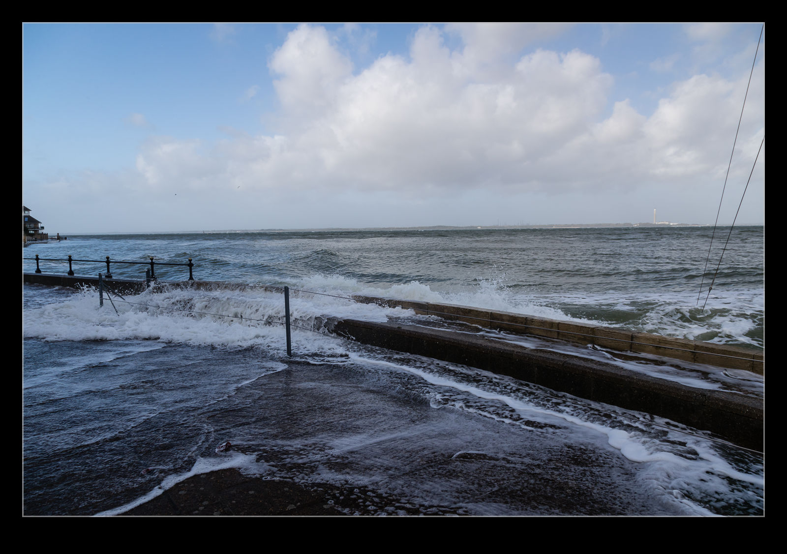
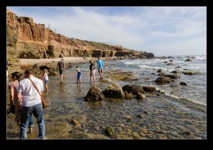
Consequently, I took a sequence of shots at different times to see whether these rocks were partially or fully covered at high tide.  It looks like they are gone when the water is at its highest.  Therefore, the many boats that moor up in the area must need to be well aware of the local charts to avoid either grounding themselves or, worse still, ripping the bottom out of the boats.  Tricky area to navigate!

Need to Find Another Way Around

The seafront at Cowes moves from the Parade to Princes Green via a path that runs around the Royal Yacht Squadron.  During the races, the cannons that signal the racing are mounted here (along with a lot of ceremonial cannons that don’t get used much.  At this time of year, everything is gone.  With the high tide, that path was a bit gone too!  Th water level was high enough to mean that the path was underwater most of the time.  It might have been possible to run through during the gap in the surges but no one seemed to think it was a good idea.

High Tide Through the Drains

The tide was very high when we got the parade in Cowes.  The water level was just below the street level.  Naturally, there was some swell, even though we were inside the harbor wall.  This meant the water was pushing back up through the drains that normally take water from the street down to the sea.  The water would force itself back up through the drains.  Sometimes it was just a small amount of water but the bigger waves resulted in a bit more flow back out of the drain.  Video is the best way to show this.  The metal of the drain cover had the level of corrosion you would expect for something with this proximity to the sea!

Cabrillo National Monument

AU0E4383.jpgI have been to San Diego a few times but one area I had never explored before was Cabrillo National Monument. Head out through Point Loma to the end of the peninsula and you enter the national park area. It was getting towards the end of the day when we got there so the visit was a little truncated. First we went to the tide pools. The signs said they would be closing first, hence the decision.

AU0E4376.jpgOf course, why would the tide pools be closing first? Because the tide was coming in. By the time we got there, the water was already starting to get close to coming over the rocks. Nevertheless, there was still a chance to have a quick wander around by the water. What was probably nicer was the view along the shore. The trails along the cliff tops provided great views of the ocean and the coast off into the distance. If we had been there earlier in the day and had more time, this would have definitely been a place to explore further.

AU0E4378.jpgWe then headed back up to the top of the ridge and the visitor center. Here is the statue of Cabrillo himself as well as a great view across the whole of San Diego. With Coronado Island in the foreground including NAS North Island and the Hotel Del Coronado and then San Diego’s city center rising behind it, the whole bay area looked great in the gradually lowering evening light. Of course, the late arrival did mean that we were coming up on closing time so it wasn’t long before they announced it was time to go.