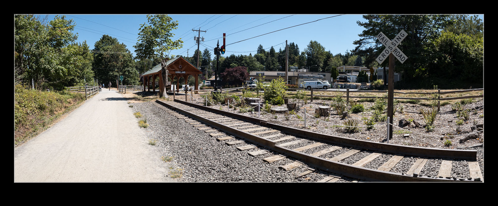
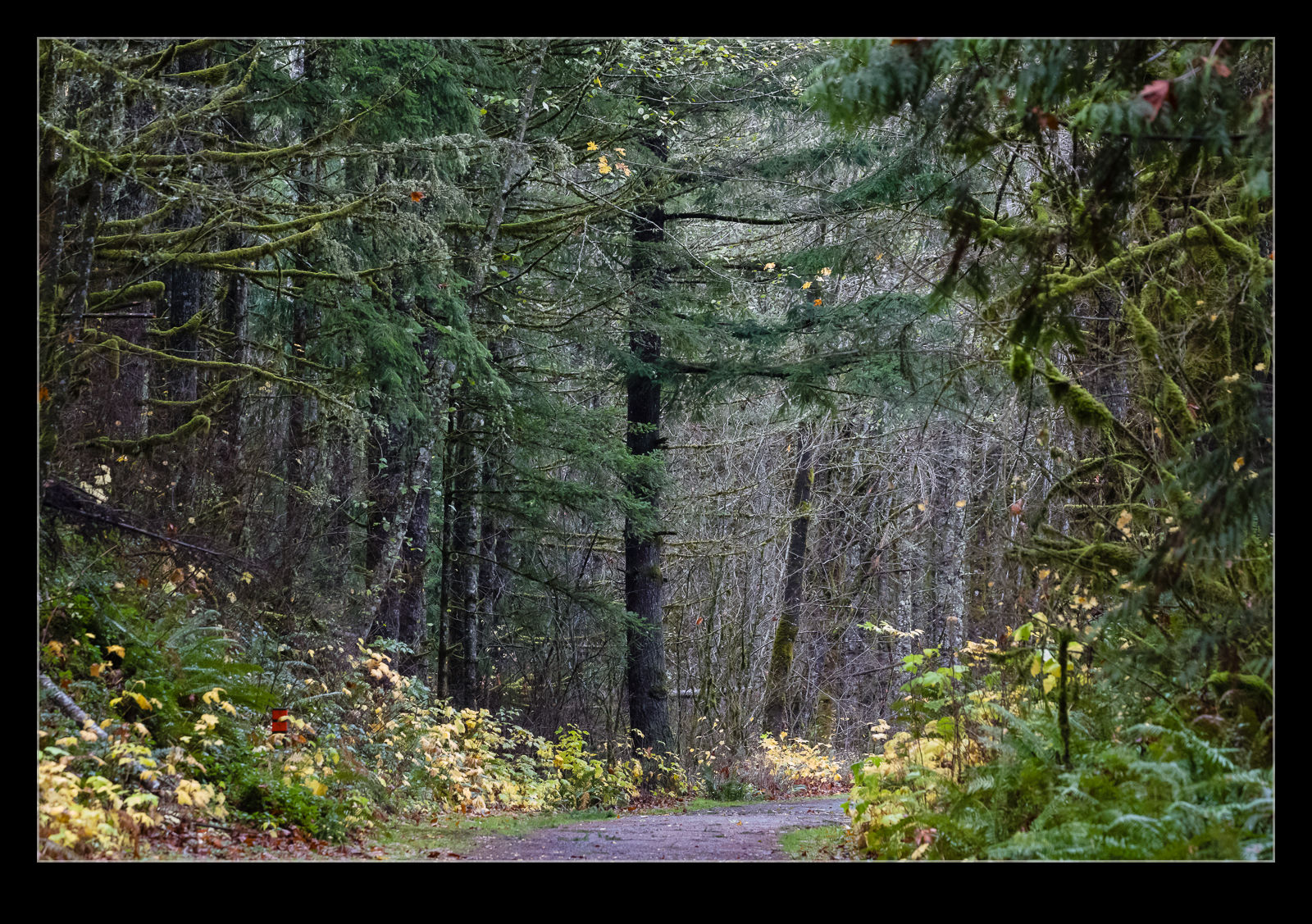
 I can waste a fair bit of time panning around in Google Maps looking at things I had no idea were there. I was looking up near Snoqualmie Falls when I saw a label for Tokul Trestle. A look around showed a trail on the track bed of a disused railroad. The Snoqualmie Valley Trail starts down in the valley near Carnation and runs up to the town of Snoqualmie. I had no idea it was there and will be looking at riding it at some point. Anyway, I had a rainy Sunday and wanted to check out the falls – see another post specifically about that – and, having finished up there, I decided to take a walk along a section of the trail. It was intermittently raining but I was dressed appropriately so took a stroll. I did see the occasional cyclist, runner or walker but was on my own for most of the time. It did occur to me that the foothills of the Cascades have plenty of mountain lions but they were obviously elsewhere and left me alone.
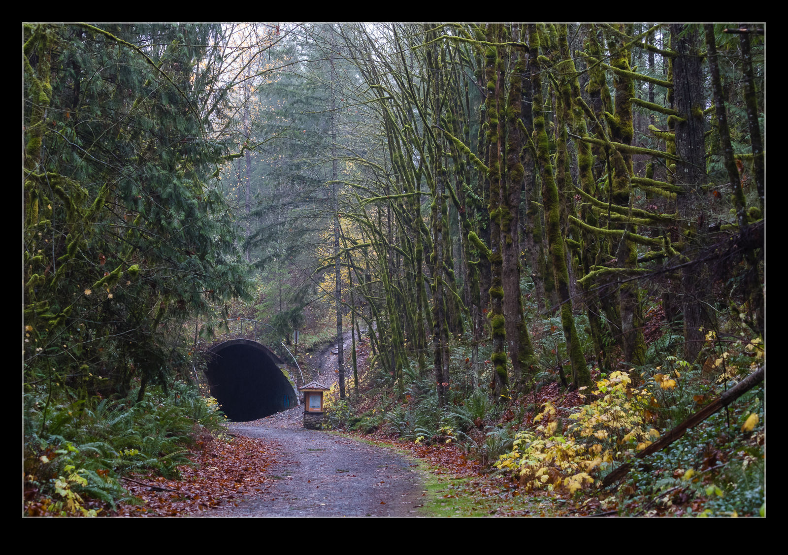
 The area is quite enclosed by the trees and it is clearly a damp place given the amount of lichen growing on the trees. That will also get another post. It does make for some interesting colors when the light does break through, though. The darkness of the trail contrasts nicely with the greens of the lichen as the sun catches it. Sections of it feel like you are walking through a tunnel. (There is an actual tunnel too but, you’ve guessed it, more of that another time.)
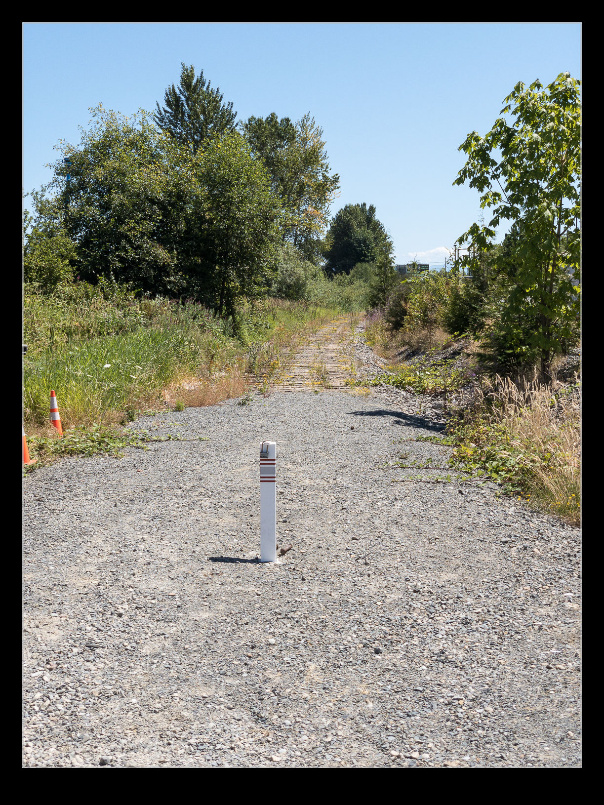
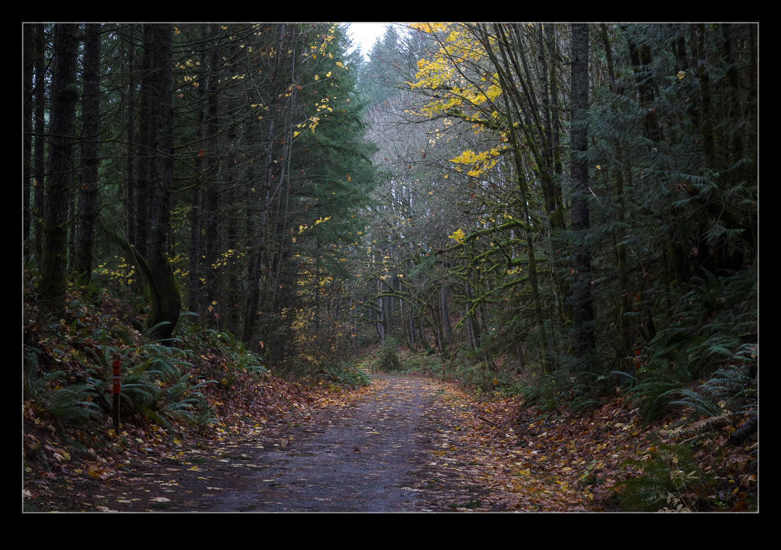
 I look forward to getting to explore this trail in more detail. A bike seems like the best bet for checking it all out but there are a few trailheads along the way so driving up and walking along it will be a good option.
 I was walking back into Crewe Station on my way home after a work visit. Crewe was a major part of the UK rail industry at its peak and it still has many rail businesses. The station is sized for the significance that it once held. There are plenty of platforms. What I hadn’t noticed before is that there used to be more. As I approached the station, I saw these extra platforms that are now disused. Standing on what would be track level looking up at them, I wondered what things might have looked like when they were in use and things were really buzzing at this station.