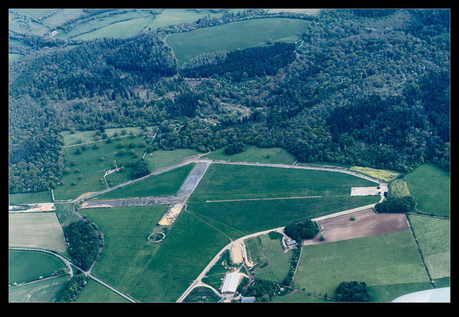
 Flying over the Oxfordshire countryside, I saw a farm below that had clearly once been an airfield. Fortunately, I had a GPS track running so I could look up the location after the event. This was once RAF Chedworth. After it was no longer of use to the RAF, it was turned back to farming. The outlines of the runways are still clearly visible, even after years of growth. At ground level, I suspect they are hard to see but the aerial viewpoint can show what was once there for a very long time.
RAF Chedworth
Leave a Reply